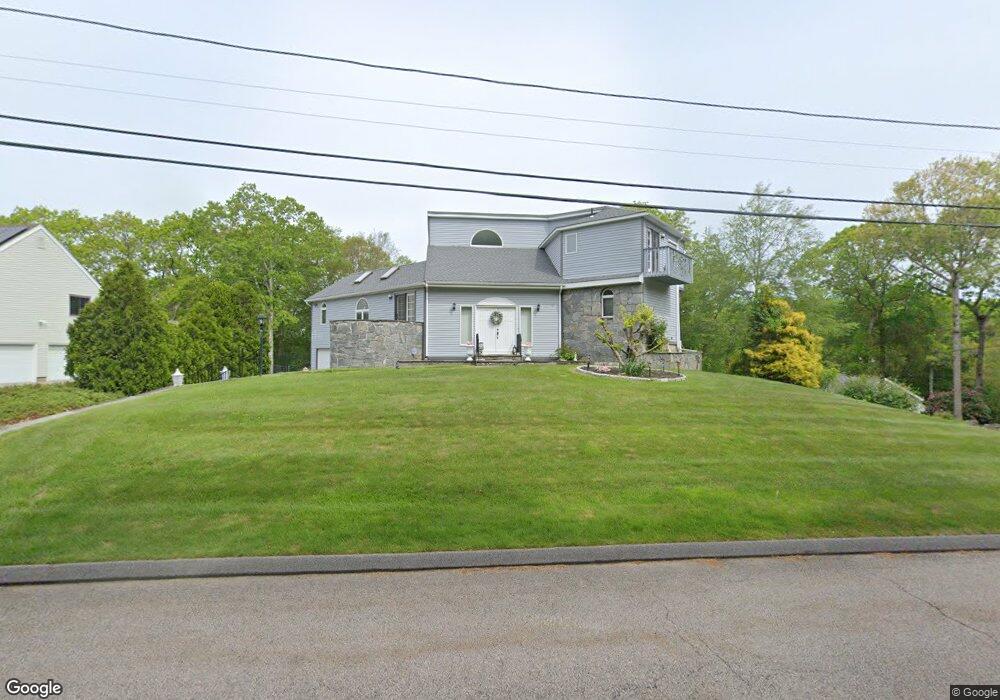
6 White Cap Rd Westerly, RI 02891
Estimated Value: $801,431 - $1,099,000
3
Beds
3
Baths
2,037
Sq Ft
$448/Sq Ft
Est. Value
About This Home
This home is located at 6 White Cap Rd, Westerly, RI 02891 and is currently estimated at $913,108, approximately $448 per square foot. 6 White Cap Rd is a home located in Washington County with nearby schools including Westerly High School and St. Michael School.
Ownership History
Date
Name
Owned For
Owner Type
Purchase Details
Closed on
Mar 26, 2001
Sold by
Ajp Ltd
Bought by
Silva Robert J and Silva Lucy E
Current Estimated Value
Home Financials for this Owner
Home Financials are based on the most recent Mortgage that was taken out on this home.
Original Mortgage
$243,600
Outstanding Balance
$87,004
Interest Rate
6.93%
Estimated Equity
$826,104
Purchase Details
Closed on
Aug 29, 1985
Bought by
Gueltzow James L
Create a Home Valuation Report for This Property
The Home Valuation Report is an in-depth analysis detailing your home's value as well as a comparison with similar homes in the area
Home Values in the Area
Average Home Value in this Area
Purchase History
| Date | Buyer | Sale Price | Title Company |
|---|---|---|---|
| Silva Robert J | $304,500 | -- | |
| Gueltzow James L | -- | -- |
Source: Public Records
Mortgage History
| Date | Status | Borrower | Loan Amount |
|---|---|---|---|
| Open | Gueltzow James L | $243,600 |
Source: Public Records
Tax History
| Year | Tax Paid | Tax Assessment Tax Assessment Total Assessment is a certain percentage of the fair market value that is determined by local assessors to be the total taxable value of land and additions on the property. | Land | Improvement |
|---|---|---|---|---|
| 2025 | $4,761 | $669,600 | $279,400 | $390,200 |
| 2024 | $4,820 | $491,300 | $199,600 | $291,700 |
| 2023 | $4,726 | $491,300 | $199,600 | $291,700 |
| 2022 | $4,697 | $491,300 | $199,600 | $291,700 |
| 2021 | $4,261 | $369,900 | $173,500 | $196,400 |
| 2020 | $4,184 | $369,900 | $173,500 | $196,400 |
| 2019 | $4,143 | $369,900 | $173,500 | $196,400 |
| 2018 | $4,315 | $363,200 | $173,500 | $189,700 |
| 2017 | $4,209 | $363,200 | $173,500 | $189,700 |
| 2016 | $4,242 | $363,200 | $173,500 | $189,700 |
| 2015 | $4,020 | $371,500 | $176,900 | $194,600 |
| 2014 | $3,182 | $371,500 | $176,900 | $194,600 |
Source: Public Records
Map
Nearby Homes
- 10 Tristam St
- 9 Compass Way Unit 201
- 9 Compass Way Unit 202
- 9 Compass Way Unit 101
- 9 Compass Way Unit 102
- 9 Compass Way Unit 103
- 9 Compass Way Unit 203
- 1 Compass Way Unit A103
- 8 Kettle Close
- 4 Shore Rd
- 18 Timothy Dr
- 27 Benson Ave
- 417 River Rd
- 4 Quail Run
- 60 Avondale Rd
- 19 Wicklow Rd
- 536 Greenhaven Rd
- 16 Green Ave
- 0 Green Ave
- 45 Summertime Cir
- 4 White Cap Rd
- 11 S Essex Dr
- 17 Trolley Ln
- 0 Invalid Listing Unit 1336580
- 0 Invalid Listing Unit 1336324
- 26 Knollwood Dr
- 3 White Cap Rd
- 21 Trolley Ln
- 18 S Essex Dr
- 3 Deer Run
- 10 Knollwood Dr
- 23 Trolley Ln
- 7 S Essex Dr
- 4 Deer Run
- 16 Trolley Ln
- 6 S Essex Dr
- 12 Knollwood Dr
- 0 Knollwood Dr
- 111 Knollwood Dr
- 17 S Essex Dr
Your Personal Tour Guide
Ask me questions while you tour the home.