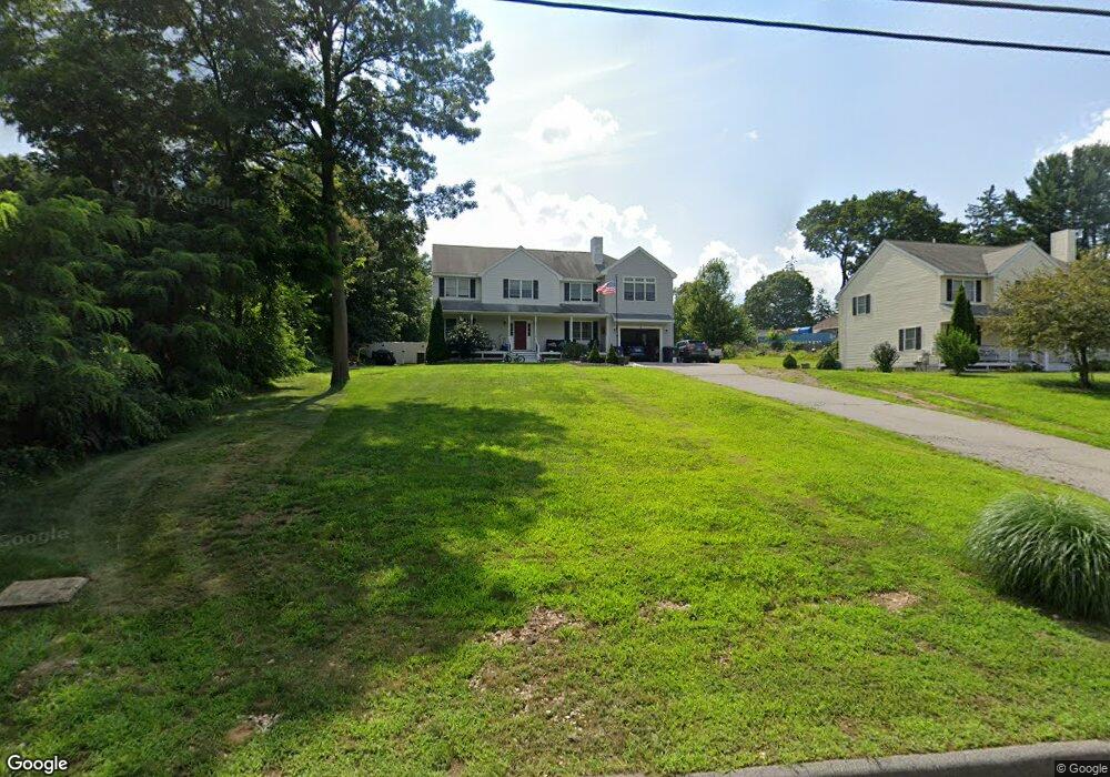
6 Wing Rd Wilmington, MA 01887
Estimated Value: $808,000 - $1,268,000
4
Beds
3
Baths
2,240
Sq Ft
$455/Sq Ft
Est. Value
About This Home
This home is located at 6 Wing Rd, Wilmington, MA 01887 and is currently estimated at $1,020,063, approximately $455 per square foot. 6 Wing Rd is a home located in Middlesex County with nearby schools including Wilmington Middle School, Wilmington High School, and Abundant Life Christian School and Childcare.
Create a Home Valuation Report for This Property
The Home Valuation Report is an in-depth analysis detailing your home's value as well as a comparison with similar homes in the area
Home Values in the Area
Average Home Value in this Area
Tax History Compared to Growth
Tax History
| Year | Tax Paid | Tax Assessment Tax Assessment Total Assessment is a certain percentage of the fair market value that is determined by local assessors to be the total taxable value of land and additions on the property. | Land | Improvement |
|---|---|---|---|---|
| 2025 | $11,512 | $1,005,400 | $316,400 | $689,000 |
| 2024 | $11,268 | $985,800 | $316,400 | $669,400 |
| 2023 | $10,507 | $880,000 | $287,600 | $592,400 |
| 2022 | $10,036 | $770,200 | $239,600 | $530,600 |
| 2021 | $10,143 | $732,900 | $217,800 | $515,100 |
| 2020 | $9,936 | $731,700 | $217,800 | $513,900 |
| 2019 | $9,776 | $711,000 | $207,400 | $503,600 |
| 2018 | $9,643 | $669,200 | $197,600 | $471,600 |
| 2017 | $9,767 | $675,900 | $197,600 | $478,300 |
| 2016 | $9,068 | $619,800 | $188,300 | $431,500 |
| 2015 | $7,346 | $511,200 | $188,300 | $322,900 |
| 2014 | $6,884 | $483,400 | $179,300 | $304,100 |
Source: Public Records
Map
Nearby Homes
- 1 March Rd
- 5 Flynn Way
- 17 Molloy Rd
- 203 Lowell St Unit 304
- 203 Lowell St Unit 119
- 203 Lowell St Unit 115
- 203 Lowell St Unit 220
- 203 Lowell St Unit 103
- 3 Strout Ave
- 9 Parker St
- 27 Fairview Ave
- 7 Cross St Unit 306
- 7 Cross St Unit 304
- 7 Cross St Unit 205
- 61 Lowell St
- 5 Morse Ave
- 11 Patchs Pond Ln
- 12 Hamlin Ln
- 452 Lowell St
- 3 Bradford Rd