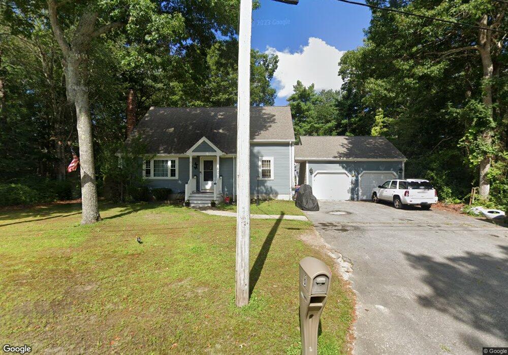
6 Winslow Ln Wareham, MA 02571
Weweantic NeighborhoodEstimated Value: $514,901 - $583,000
3
Beds
1
Bath
1,564
Sq Ft
$352/Sq Ft
Est. Value
About This Home
This home is located at 6 Winslow Ln, Wareham, MA 02571 and is currently estimated at $550,725, approximately $352 per square foot. 6 Winslow Ln is a home located in Plymouth County with nearby schools including Tabor Academy.
Ownership History
Date
Name
Owned For
Owner Type
Purchase Details
Closed on
Sep 27, 2011
Sold by
Castro Caroline L and Pires Scott K
Bought by
Castro Caroline L
Current Estimated Value
Home Financials for this Owner
Home Financials are based on the most recent Mortgage that was taken out on this home.
Original Mortgage
$149,250
Outstanding Balance
$100,918
Interest Rate
4.15%
Estimated Equity
$449,807
Create a Home Valuation Report for This Property
The Home Valuation Report is an in-depth analysis detailing your home's value as well as a comparison with similar homes in the area
Home Values in the Area
Average Home Value in this Area
Purchase History
| Date | Buyer | Sale Price | Title Company |
|---|---|---|---|
| Castro Caroline L | -- | -- | |
| Castro Caroline L | -- | -- |
Source: Public Records
Mortgage History
| Date | Status | Borrower | Loan Amount |
|---|---|---|---|
| Open | Castro Caroline L | $149,250 | |
| Previous Owner | Castro Caroline L | $22,000 |
Source: Public Records
Tax History Compared to Growth
Tax History
| Year | Tax Paid | Tax Assessment Tax Assessment Total Assessment is a certain percentage of the fair market value that is determined by local assessors to be the total taxable value of land and additions on the property. | Land | Improvement |
|---|---|---|---|---|
| 2025 | $4,976 | $477,500 | $134,500 | $343,000 |
| 2024 | $5,176 | $460,900 | $107,500 | $353,400 |
| 2023 | $4,909 | $408,100 | $97,700 | $310,400 |
| 2022 | $4,501 | $341,500 | $97,700 | $243,800 |
| 2021 | $4,436 | $329,800 | $97,700 | $232,100 |
| 2020 | $4,218 | $318,100 | $97,700 | $220,400 |
| 2019 | $4,056 | $305,200 | $99,100 | $206,100 |
| 2018 | $3,747 | $274,900 | $99,100 | $175,800 |
| 2017 | $3,572 | $265,600 | $99,100 | $166,500 |
| 2016 | $3,384 | $250,100 | $94,800 | $155,300 |
| 2015 | $2,975 | $227,600 | $94,800 | $132,800 |
| 2014 | $2,970 | $231,100 | $103,500 | $127,600 |
Source: Public Records
Map
Nearby Homes
- 14 Briarwood Dr
- 12 Taft St
- 4 Roosevelt St
- 64 Rose Point Ave
- 0 Cromesett Rd (Off) Unit 73385395
- 58 Shady Ln
- 233 Marion Rd
- 21 Bayview St
- 20 Grant St
- 43 Shore Ave
- 15 Broadmarsh Ave
- 6 Allen Ave
- 929 Point Rd
- 4 Rebecca Dr
- 11 Turner Ave
- 4 Ross Ave
- 0 Cross Neck Rd Unit 73420524
- 0 Cross Neck Rd Unit 73466177
- 0 Cross Neck Rd Unit 73420525
- 62 High St