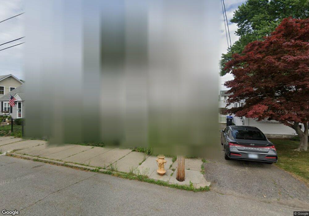
60 Annie St Pawtucket, RI 02861
Darlington NeighborhoodEstimated Value: $392,640 - $424,000
3
Beds
1
Bath
1,248
Sq Ft
$328/Sq Ft
Est. Value
About This Home
This home is located at 60 Annie St, Pawtucket, RI 02861 and is currently estimated at $408,910, approximately $327 per square foot. 60 Annie St is a home located in Providence County with nearby schools including Saint Teresa Catholic Elementary School and St Cecilia School.
Ownership History
Date
Name
Owned For
Owner Type
Purchase Details
Closed on
Jul 28, 2006
Sold by
Dawe Raymond M and Dawe Susan E
Bought by
Conroy Kathleen
Current Estimated Value
Home Financials for this Owner
Home Financials are based on the most recent Mortgage that was taken out on this home.
Original Mortgage
$185,000
Interest Rate
6.67%
Mortgage Type
Purchase Money Mortgage
Purchase Details
Closed on
Nov 22, 1993
Sold by
Young John M and Young Lisa
Bought by
Dawe Raymond M and Dawe Susan
Create a Home Valuation Report for This Property
The Home Valuation Report is an in-depth analysis detailing your home's value as well as a comparison with similar homes in the area
Home Values in the Area
Average Home Value in this Area
Purchase History
| Date | Buyer | Sale Price | Title Company |
|---|---|---|---|
| Conroy Kathleen | $235,000 | -- | |
| Dawe Raymond M | $93,000 | -- |
Source: Public Records
Mortgage History
| Date | Status | Borrower | Loan Amount |
|---|---|---|---|
| Open | Dawe Raymond M | $173,975 | |
| Closed | Dawe Raymond M | $185,000 | |
| Closed | Dawe Raymond M | $10,000 | |
| Previous Owner | Dawe Raymond M | $133,500 |
Source: Public Records
Tax History Compared to Growth
Tax History
| Year | Tax Paid | Tax Assessment Tax Assessment Total Assessment is a certain percentage of the fair market value that is determined by local assessors to be the total taxable value of land and additions on the property. | Land | Improvement |
|---|---|---|---|---|
| 2025 | $3,916 | $297,800 | $127,400 | $170,400 |
| 2024 | $3,675 | $297,800 | $127,400 | $170,400 |
| 2023 | $3,810 | $224,900 | $85,600 | $139,300 |
| 2022 | $3,729 | $224,900 | $85,600 | $139,300 |
| 2021 | $3,729 | $224,900 | $85,600 | $139,300 |
| 2020 | $3,484 | $166,800 | $70,800 | $96,000 |
| 2019 | $3,484 | $166,800 | $70,800 | $96,000 |
| 2018 | $3,358 | $166,800 | $70,800 | $96,000 |
| 2017 | $3,288 | $144,700 | $64,400 | $80,300 |
| 2016 | $3,167 | $144,700 | $64,400 | $80,300 |
| 2015 | $3,167 | $144,700 | $64,400 | $80,300 |
| 2014 | $2,979 | $129,200 | $61,400 | $67,800 |
Source: Public Records
Map
Nearby Homes