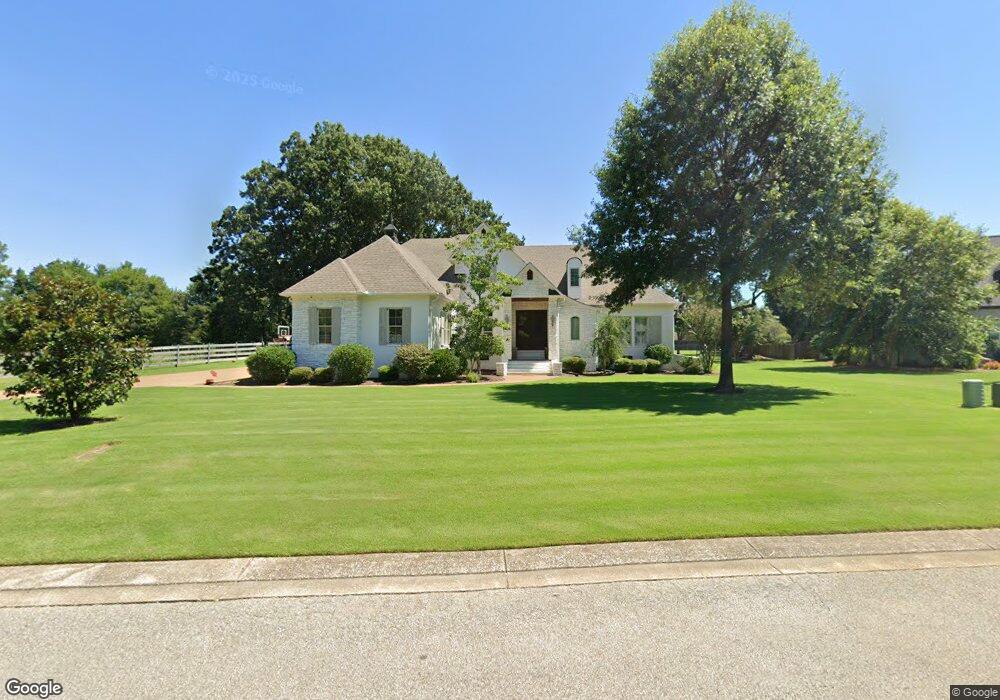
60 Applestone Dr Jackson, TN 38305
Estimated Value: $578,000 - $708,000
Studio
4
Baths
3,664
Sq Ft
$177/Sq Ft
Est. Value
About This Home
This home is located at 60 Applestone Dr, Jackson, TN 38305 and is currently estimated at $647,822, approximately $176 per square foot. 60 Applestone Dr is a home located in Madison County with nearby schools including Pope School, Northeast Middle School, and North Side High School.
Ownership History
Date
Name
Owned For
Owner Type
Purchase Details
Closed on
Jan 21, 2022
Sold by
Snider Jason W and Nicholson Keata
Bought by
Stoots Steven M and Stoots Stephanie M
Current Estimated Value
Home Financials for this Owner
Home Financials are based on the most recent Mortgage that was taken out on this home.
Original Mortgage
$459,000
Outstanding Balance
$421,922
Interest Rate
3.22%
Mortgage Type
New Conventional
Estimated Equity
$225,900
Purchase Details
Closed on
Oct 11, 2005
Sold by
Madison Development Llc
Bought by
Jason Snider
Create a Home Valuation Report for This Property
The Home Valuation Report is an in-depth analysis detailing your home's value as well as a comparison with similar homes in the area
Purchase History
| Date | Buyer | Sale Price | Title Company |
|---|---|---|---|
| Stoots Steven M | $540,000 | Shearon Joshua B | |
| Jason Snider | $50,000 | -- |
Source: Public Records
Mortgage History
| Date | Status | Borrower | Loan Amount |
|---|---|---|---|
| Open | Stoots Steven M | $459,000 |
Source: Public Records
Tax History
| Year | Tax Paid | Tax Assessment Tax Assessment Total Assessment is a certain percentage of the fair market value that is determined by local assessors to be the total taxable value of land and additions on the property. | Land | Improvement |
|---|---|---|---|---|
| 2025 | $2,378 | $126,925 | $16,250 | $110,675 |
| 2024 | $2,378 | $126,925 | $16,250 | $110,675 |
| 2022 | $4,412 | $126,575 | $16,250 | $110,325 |
| 2021 | $4,328 | $100,375 | $13,500 | $86,875 |
| 2020 | $4,328 | $100,375 | $13,500 | $86,875 |
| 2019 | $4,328 | $100,375 | $13,500 | $86,875 |
| 2018 | $4,328 | $100,375 | $13,500 | $86,875 |
| 2017 | $4,061 | $88,200 | $13,500 | $74,700 |
| 2016 | $3,626 | $88,200 | $13,500 | $74,700 |
| 2015 | $3,627 | $88,200 | $13,500 | $74,700 |
| 2014 | $3,627 | $88,200 | $13,500 | $74,700 |
Source: Public Records
Map
Nearby Homes
- 61 Applestone Dr
- 26 Applestone Dr
- 51 Crownpointe Cove
- 49 Northwyke Dr
- 65 Westchester Ct
- 26 Water Ridge Place
- 42 Wilmington Cove
- 963 Ashport Rd
- 57 Water Ridge Place
- 975 Ashport Rd
- 113 Water Ridge Place
- 59 Livingston Way
- 39 Arbor Ridge Cove
- 100 Gateway Dr
- 108 Gateway Dr
- 9 Dayton Cove
- 25 Lamplighter Cove
- 114 Old Stage Rd
- 107 Gateway Dr
- 101 Gateway Dr
- 48 Applestone Dr
- 31 Doubletree Cove
- 36 Applestone Dr
- 49 Applestone Dr
- 133 Longleaf Dr
- 37 Applestone Dr
- 23 Doubletree Cove
- 35 Doubletree Cove
- 27 Applestone Dr
- 15 Doubletree Cove
- 18 Applestone Dr
- 115 Longleaf Dr
- 32 Doubletree Cove
- 136 Longleaf Dr
- 17 Applestone Dr
- 16 Doubletree Cove
- 24 Doubletree Cove
- 7 Doubletree Cove
- 8 Applestone Dr
- 9 Applestone Dr
Your Personal Tour Guide
Ask me questions while you tour the home.