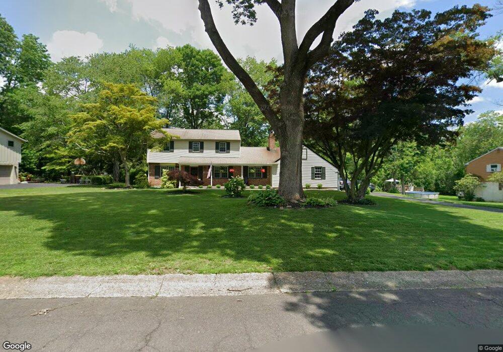
60 Bennett Dr Doylestown, PA 18901
Estimated Value: $682,000 - $809,000
About This Home
This home is located at 60 Bennett Dr, Doylestown, PA 18901 and is currently estimated at $733,325, approximately $332 per square foot. 60 Bennett Dr is a home located in Bucks County with nearby schools including Linden El School, Lenape Middle School, and Central Bucks High School-West.
Ownership History
We collect this data history from publicly available records. To have your information removed, we recommend requesting removal directly through your county’s website.
Purchase Details
Home Financials for this Owner
Home Financials are based on the most recent Mortgage that was taken out on this home.Purchase Details
Home Financials for this Owner
Home Financials are based on the most recent Mortgage that was taken out on this home.Purchase Details
Home Values in the Area
Average Home Value in this Area
Purchase History
We collect this data history from publicly available records. To have your information removed, we recommend requesting removal directly through your county’s website.
| Date | Buyer | Sale Price | Title Company |
|---|---|---|---|
| $530,000 | Tohickon Settlement Services | ||
| $299,900 | -- | ||
| $215,000 | -- |
Mortgage History
We collect this data history from publicly available records. To have your information removed, we recommend requesting removal directly through your county’s website.
| Date | Status | Borrower | Loan Amount |
|---|---|---|---|
| Open | $477,000 | ||
| Previous Owner | $269,900 |
Tax History
We collect this data history from publicly available records. To have your information removed, we recommend requesting removal directly through your county’s website.
| Year | Tax Paid | Tax Assessment Tax Assessment Total Assessment is a certain percentage of the fair market value that is determined by local assessors to be the total taxable value of land and additions on the property. | Land | Improvement |
|---|---|---|---|---|
| 2026 | $6,437 | $34,400 | $9,080 | $25,320 |
| 2025 | $6,197 | $34,400 | $9,080 | $25,320 |
| 2024 | $6,197 | $34,400 | $9,080 | $25,320 |
| 2023 | $5,904 | $34,400 | $9,080 | $25,320 |
| 2022 | $5,822 | $34,400 | $9,080 | $25,320 |
| 2021 | $5,758 | $34,400 | $9,080 | $25,320 |
| 2020 | $5,695 | $34,400 | $9,080 | $25,320 |
| 2019 | $5,632 | $34,400 | $9,080 | $25,320 |
| 2018 | $5,563 | $34,400 | $9,080 | $25,320 |
| 2017 | $5,505 | $34,400 | $9,080 | $25,320 |
| 2016 | $5,505 | $34,400 | $9,080 | $25,320 |
| 2015 | -- | $34,400 | $9,080 | $25,320 |
| 2014 | -- | $34,400 | $9,080 | $25,320 |
Map
- 92 Homestead Dr
- 149 Tower Hill Rd
- 218 Green St
- 51 Hillside Ave
- 202 Woodspring Cir
- 71 Oak Dr
- 563 Pebble Hill Rd
- 139 W Ashland St
- 195 Lafayette St
- 66 S Hamilton St
- 172 Lafayette St
- 199 Washington St
- 129 Steeplechase Dr
- 15 Dogwood Ln
- 360 W Court St
- 61 N Hamilton St
- 262 Logan St
- 3-13 Aspen Way Unit 313
- 95 Springs Dr
- 7 Mercer Gate Dr
Ask me questions while you tour the home.