60 Blue Brook Ct O Fallon, MO 63366
Estimated Value: $483,000 - $578,000
4
Beds
3
Baths
2,148
Sq Ft
$243/Sq Ft
Est. Value
About This Home
This home is located at 60 Blue Brook Ct, O Fallon, MO 63366 and is currently estimated at $522,537, approximately $243 per square foot. 60 Blue Brook Ct is a home with nearby schools including Mount Hope Elementary School, Fort Zumwalt North Middle School, and Fort Zumwalt North High School.
Ownership History
Date
Name
Owned For
Owner Type
Purchase Details
Closed on
Sep 19, 2024
Sold by
Kreutz Andrew J and Kreutz Kristine M
Bought by
Akk Revocable Living Trust and Kreutz
Current Estimated Value
Purchase Details
Closed on
Jun 16, 2015
Sold by
Lombardo Louis Llc
Bought by
Krentz Andrew J and Krentz Kristinie M
Home Financials for this Owner
Home Financials are based on the most recent Mortgage that was taken out on this home.
Original Mortgage
$301,079
Interest Rate
3.9%
Mortgage Type
New Conventional
Create a Home Valuation Report for This Property
The Home Valuation Report is an in-depth analysis detailing your home's value as well as a comparison with similar homes in the area
Home Values in the Area
Average Home Value in this Area
Purchase History
| Date | Buyer | Sale Price | Title Company |
|---|---|---|---|
| Akk Revocable Living Trust | -- | None Listed On Document | |
| Krentz Andrew J | $316,926 | None Available |
Source: Public Records
Mortgage History
| Date | Status | Borrower | Loan Amount |
|---|---|---|---|
| Previous Owner | Krentz Andrew J | $301,079 |
Source: Public Records
Tax History
| Year | Tax Paid | Tax Assessment Tax Assessment Total Assessment is a certain percentage of the fair market value that is determined by local assessors to be the total taxable value of land and additions on the property. | Land | Improvement |
|---|---|---|---|---|
| 2025 | $5,066 | $87,805 | -- | -- |
| 2023 | $5,071 | $78,987 | -- | -- |
| 2022 | $4,784 | $69,536 | $0 | $0 |
| 2021 | $4,796 | $69,536 | $0 | $0 |
| 2020 | $4,419 | $60,955 | $0 | $0 |
| 2019 | $4,435 | $60,955 | $0 | $0 |
| 2018 | $4,744 | $62,306 | $0 | $0 |
| 2017 | $4,716 | $62,306 | $0 | $0 |
| 2016 | $4,731 | $60,216 | $0 | $0 |
| 2015 | $2,402 | $6,270 | $0 | $0 |
Source: Public Records
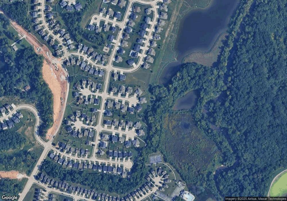
Map
Nearby Homes
- 30 +/- AC Guthrie Rd
- 10 Brushy Brook Ct
- 102 Knoll Brook Dr
- 0 Mexico Rd Unit 22032692
- 200 Brookview Way Ct
- 30+/-AC Guthrie Rd
- 133 Harbor View Dr
- 75 Schooner Ln Unit 5
- 191 Harbor View Dr
- 54 Schooner Ln Unit 4
- 1 Manderly Place Dr
- 102 Prominence Point Ct
- 628 Beaver Ct
- 15 Eagles Way Ln
- 25 Bedford Way
- 22 Holloway Dr
- 266 Savoy Dr
- 28 Marquette Dr
- 23 Marquette Dr
- 2 Riviera Ct
- 58 Blue Brook Ct
- 57 Blue Brook Ct
- 56 Blue Brook Ct
- 55 Blue Brook Ct
- 54 Blue Brook Ct
- 39 Harvest Brook Ct
- 53 Blue Brook Ct
- 37 Harvest Brook Ct
- 52 Blue Brook Ct
- 522 Deer Brook Dr
- 41 Harvest Brook Ct
- 51 Blue Brook Ct
- 35 Harvest Brook Ct
- 50 Blue Brook Ct
- 530 Deer Brook Dr
- 33 Harvest Brook Ct
- 310 Mystic Brook Dr
- 520 Deer Brook Dr
- 532 Deer Brook Dr
- 31 Harvest Brook Ct
Your Personal Tour Guide
Ask me questions while you tour the home.