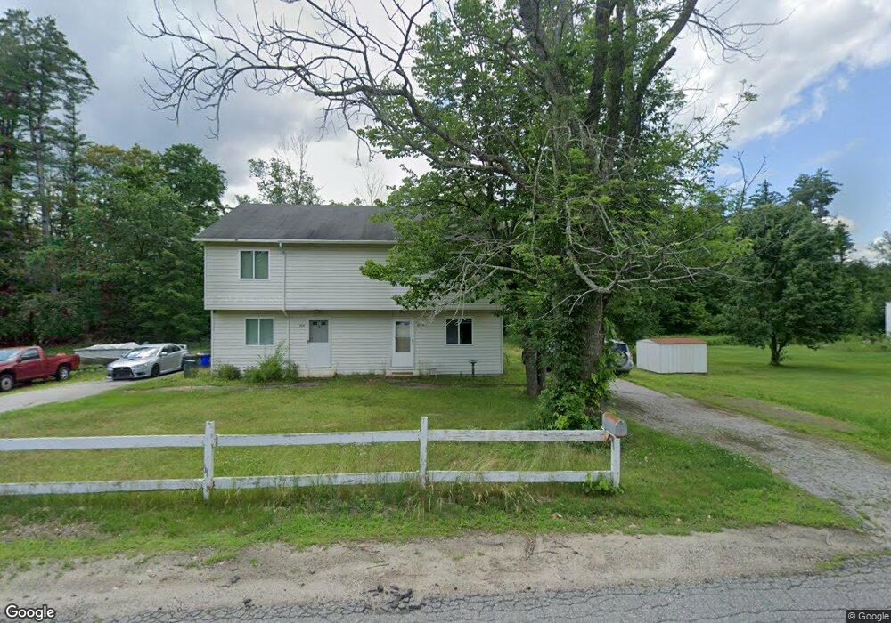
60 Bog Rd Goffstown, NH 03045
Estimated Value: $514,420 - $597,000
4
Beds
3
Baths
2,320
Sq Ft
$244/Sq Ft
Est. Value
About This Home
This home is located at 60 Bog Rd, Goffstown, NH 03045 and is currently estimated at $565,105, approximately $243 per square foot. 60 Bog Rd is a home with nearby schools including Mountain View Middle School and Goffstown High School.
Create a Home Valuation Report for This Property
The Home Valuation Report is an in-depth analysis detailing your home's value as well as a comparison with similar homes in the area
Home Values in the Area
Average Home Value in this Area
Tax History Compared to Growth
Tax History
| Year | Tax Paid | Tax Assessment Tax Assessment Total Assessment is a certain percentage of the fair market value that is determined by local assessors to be the total taxable value of land and additions on the property. | Land | Improvement |
|---|---|---|---|---|
| 2024 | $8,033 | $393,000 | $195,100 | $197,900 |
| 2023 | $7,412 | $393,000 | $195,100 | $197,900 |
| 2022 | $6,841 | $260,000 | $127,100 | $132,900 |
| 2021 | $6,453 | $260,000 | $127,100 | $132,900 |
| 2020 | $7,420 | $260,000 | $127,100 | $132,900 |
| 2019 | $6,391 | $260,000 | $127,100 | $132,900 |
| 2018 | $3,646 | $260,000 | $127,100 | $132,900 |
| 2017 | $3,767 | $234,100 | $106,200 | $127,900 |
| 2016 | $6,187 | $234,100 | $106,200 | $127,900 |
| 2015 | $6,240 | $221,600 | $92,300 | $129,300 |
| 2014 | $5,983 | $221,600 | $92,300 | $129,300 |
Source: Public Records
Map
Nearby Homes
- 16 Palmer Rd
- 12 S Mast St
- 39 S Mast St
- 152 S Mast St
- 21A Apple Tree Dr
- 88 Saunders Rd
- 22 Winter Hill Rd
- 2 Larch St Unit 1
- 111 Bog Brook Rd
- 7 Arrowwood Rd
- 914 Back Mountain Rd
- 34 Lull Rd
- 45 Range Rd
- 30 Horizon Dr
- 718 Bedford Rd
- 99 Cambridge Rd
- 174 S Stark Hwy Unit 13
- 174 S Stark Hwy Unit 1
- 174 S Stark Hwy Unit 23
- 93 Jason Dr