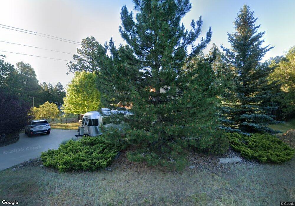
60 Fir Dr Durango, CO 81301
Durango West NeighborhoodEstimated Value: $835,709 - $981,000
3
Beds
3
Baths
2,366
Sq Ft
$384/Sq Ft
Est. Value
About This Home
This home is located at 60 Fir Dr, Durango, CO 81301 and is currently estimated at $908,427, approximately $383 per square foot. 60 Fir Dr is a home located in La Plata County with nearby schools including Park Elementary School, Escalante Middle School, and Durango High School.
Ownership History
Date
Name
Owned For
Owner Type
Purchase Details
Closed on
Sep 17, 2015
Sold by
Janowiak Matthew J and Fulford Madeleine M
Bought by
Harris Lisa B and Sadlon James M
Current Estimated Value
Home Financials for this Owner
Home Financials are based on the most recent Mortgage that was taken out on this home.
Original Mortgage
$294,000
Outstanding Balance
$230,997
Interest Rate
3.92%
Mortgage Type
New Conventional
Estimated Equity
$677,430
Purchase Details
Closed on
Apr 15, 2002
Bought by
Harris Lisa B and Sadlon James M
Create a Home Valuation Report for This Property
The Home Valuation Report is an in-depth analysis detailing your home's value as well as a comparison with similar homes in the area
Home Values in the Area
Average Home Value in this Area
Purchase History
| Date | Buyer | Sale Price | Title Company |
|---|---|---|---|
| Harris Lisa B | $420,000 | Stewart Title | |
| Harris Lisa B | $35,000 | -- |
Source: Public Records
Mortgage History
| Date | Status | Borrower | Loan Amount |
|---|---|---|---|
| Open | Harris Lisa B | $294,000 |
Source: Public Records
Tax History Compared to Growth
Tax History
| Year | Tax Paid | Tax Assessment Tax Assessment Total Assessment is a certain percentage of the fair market value that is determined by local assessors to be the total taxable value of land and additions on the property. | Land | Improvement |
|---|---|---|---|---|
| 2025 | $2,324 | $52,210 | $9,070 | $43,140 |
| 2024 | $1,990 | $47,400 | $7,290 | $40,110 |
| 2023 | $1,990 | $50,570 | $7,780 | $42,790 |
| 2022 | $1,532 | $53,000 | $8,150 | $44,850 |
| 2021 | $1,539 | $37,110 | $7,960 | $29,150 |
| 2020 | $1,354 | $33,650 | $7,390 | $26,260 |
| 2019 | $1,298 | $33,650 | $7,390 | $26,260 |
| 2018 | $1,203 | $31,230 | $7,440 | $23,790 |
| 2017 | $1,178 | $31,230 | $7,440 | $23,790 |
| 2016 | $1,134 | $32,600 | $8,230 | $24,370 |
| 2015 | $1,067 | $32,600 | $8,230 | $24,370 |
| 2014 | $972 | $28,600 | $8,230 | $20,370 |
| 2013 | -- | $28,600 | $8,230 | $20,370 |
Source: Public Records
Map
Nearby Homes
- 199 Timber Dr
- 678 N Lakeside Dr
- 23 Hunter Ct
- 178 Canyon Creek Trail
- 719 Terlun Dr
- TBD Vaquero Way
- 307 Deer Trail Rd
- 717 Zane Dr
- 1310 W Meadow Rd
- 51 Shenandoah Cir
- 1969 County Road 142
- 21121 Highway 140
- 337 Zane Dr
- 152 Lane Dr
- 152 Peak Trail Dr
- 290 Blue Ridge
- 17235 Hwy 160
- 111 Rendezvous Trail
- 199 Logging Trail Rd
- 1172 Ridge Rd