60 Florry Dr Unit 25 Dracut, MA 01826
Estimated Value: $310,000 - $346,000
2
Beds
1
Bath
944
Sq Ft
$347/Sq Ft
Est. Value
About This Home
This home is located at 60 Florry Dr Unit 25, Dracut, MA 01826 and is currently estimated at $327,541, approximately $346 per square foot. 60 Florry Dr Unit 25 is a home located in Middlesex County with nearby schools including Greenmont Avenue School, Richardson Middle School, and Dracut Senior High School.
Ownership History
Date
Name
Owned For
Owner Type
Purchase Details
Closed on
Jun 30, 2021
Sold by
Dorval Sarah
Bought by
Hamilton Susan M
Current Estimated Value
Home Financials for this Owner
Home Financials are based on the most recent Mortgage that was taken out on this home.
Original Mortgage
$223,100
Outstanding Balance
$202,429
Interest Rate
2.9%
Mortgage Type
Purchase Money Mortgage
Estimated Equity
$125,112
Purchase Details
Closed on
May 11, 2018
Sold by
Dorval Dennis J Est
Bought by
Dorval Sarah
Purchase Details
Closed on
Nov 15, 1996
Sold by
Dorval Dennis J
Bought by
Fhlmc
Purchase Details
Closed on
May 27, 1988
Sold by
Chouinard Denise L
Bought by
Dorval Dennis J
Create a Home Valuation Report for This Property
The Home Valuation Report is an in-depth analysis detailing your home's value as well as a comparison with similar homes in the area
Home Values in the Area
Average Home Value in this Area
Purchase History
| Date | Buyer | Sale Price | Title Company |
|---|---|---|---|
| Hamilton Susan M | $230,000 | None Available | |
| Dorval Sarah | -- | -- | |
| Fhlmc | $57,000 | -- | |
| Dorval Dennis J | $99,900 | -- |
Source: Public Records
Mortgage History
| Date | Status | Borrower | Loan Amount |
|---|---|---|---|
| Open | Hamilton Susan M | $223,100 | |
| Previous Owner | Dorval Dennis J | $77,250 | |
| Previous Owner | Dorval Dennis J | $80,000 | |
| Previous Owner | Dorval Dennis J | $66,000 | |
| Previous Owner | Dorval Dennis J | $55,000 |
Source: Public Records
Tax History Compared to Growth
Tax History
| Year | Tax Paid | Tax Assessment Tax Assessment Total Assessment is a certain percentage of the fair market value that is determined by local assessors to be the total taxable value of land and additions on the property. | Land | Improvement |
|---|---|---|---|---|
| 2025 | $3,084 | $304,700 | $0 | $304,700 |
| 2024 | $2,817 | $269,600 | $0 | $269,600 |
| 2023 | $2,536 | $219,000 | $0 | $219,000 |
| 2022 | $2,591 | $210,800 | $0 | $210,800 |
| 2021 | $2,534 | $194,800 | $0 | $194,800 |
| 2020 | $2,304 | $172,600 | $0 | $172,600 |
| 2019 | $2,151 | $156,400 | $0 | $156,400 |
| 2018 | $2,186 | $154,600 | $0 | $154,600 |
| 2017 | $2,194 | $154,600 | $0 | $154,600 |
| 2016 | $2,141 | $144,300 | $0 | $144,300 |
| 2015 | $1,904 | $127,500 | $0 | $127,500 |
| 2014 | $1,717 | $118,500 | $0 | $118,500 |
Source: Public Records
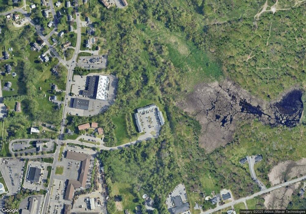
Map
Nearby Homes
- 315 Broadway Rd Unit 7
- 241 Broadway Rd Unit 50
- 67 Foxhill Ln Unit 67
- 35 Thissell Ave
- 675 Robbins Ave Unit 1
- 700 Robbins Ave Unit 6
- 121 Old Marsh Hill Rd
- 7 Wildwood St Unit A24
- 650 Robbins Ave Unit 33
- 1572 Bridge St
- 4 Hazelwood Ave Unit 12
- 18 Stone St
- 167 Betty Ann Ln
- 81 Spring Park Ave
- 26 Frank St
- 109 Meadow Creek Dr
- 575 Beacon St
- 321 Old Marsh Hill Rd
- 67 Lincoln Ln
- 173 Brook St
- 60 Florry Dr Unit 32
- 60 Florry Dr Unit 31
- 60 Florry Dr Unit 30
- 60 Florry Dr Unit 29
- 60 Florry Dr Unit 28
- 60 Florry Dr Unit 27
- 60 Florry Dr Unit 26
- 60 Florry Dr Unit 24
- 60 Florry Dr Unit 23
- 60 Florry Dr Unit 22
- 60 Florry Dr Unit 21
- 60 Florry Dr Unit 20
- 60 Florry Dr Unit 19
- 60 Florry Dr Unit 18
- 60 Florry Dr Unit 17
- 60 Florry Dr Unit 16
- 60 Florry Dr Unit 15
- 60 Florry Dr Unit 14
- 60 Florry Dr Unit 13
- 60 Florry Dr Unit 12