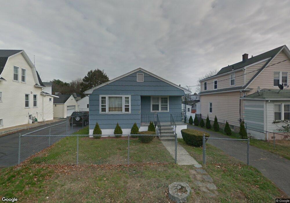
60 Holroyd St Bridgeport, CT 06606
Brooklawn-Saint Vincent NeighborhoodEstimated Value: $397,000 - $409,033
3
Beds
3
Baths
1,092
Sq Ft
$370/Sq Ft
Est. Value
About This Home
This home is located at 60 Holroyd St, Bridgeport, CT 06606 and is currently estimated at $403,508, approximately $369 per square foot. 60 Holroyd St is a home located in Fairfield County with nearby schools including Madison School, Central High School, and Catholic Academy of Bridgeport-St. Raphael Academy.
Ownership History
Date
Name
Owned For
Owner Type
Purchase Details
Closed on
Jul 28, 1992
Sold by
Grannettino Thomas and Giannettino Marlynn
Bought by
Nelson Otis and Nelson Loraine
Current Estimated Value
Home Financials for this Owner
Home Financials are based on the most recent Mortgage that was taken out on this home.
Original Mortgage
$111,066
Interest Rate
8.49%
Mortgage Type
Unknown
Create a Home Valuation Report for This Property
The Home Valuation Report is an in-depth analysis detailing your home's value as well as a comparison with similar homes in the area
Home Values in the Area
Average Home Value in this Area
Purchase History
| Date | Buyer | Sale Price | Title Company |
|---|---|---|---|
| Nelson Otis | $110,900 | -- | |
| Nelson Otis | $110,900 | -- |
Source: Public Records
Mortgage History
| Date | Status | Borrower | Loan Amount |
|---|---|---|---|
| Closed | Nelson Otis | $140,000 | |
| Closed | Nelson Otis | $35,000 | |
| Closed | Nelson Otis | $111,066 |
Source: Public Records
Tax History
| Year | Tax Paid | Tax Assessment Tax Assessment Total Assessment is a certain percentage of the fair market value that is determined by local assessors to be the total taxable value of land and additions on the property. | Land | Improvement |
|---|---|---|---|---|
| 2025 | $7,086 | $163,080 | $75,800 | $87,280 |
| 2024 | $7,086 | $163,080 | $75,800 | $87,280 |
| 2023 | $7,086 | $163,080 | $75,800 | $87,280 |
| 2022 | $7,086 | $163,080 | $75,800 | $87,280 |
| 2021 | $7,086 | $163,080 | $75,800 | $87,280 |
| 2020 | $6,158 | $114,060 | $39,590 | $74,470 |
| 2019 | $6,158 | $114,060 | $39,590 | $74,470 |
| 2018 | $6,201 | $114,060 | $39,590 | $74,470 |
| 2017 | $6,201 | $114,060 | $39,590 | $74,470 |
| 2016 | $6,201 | $114,060 | $39,590 | $74,470 |
| 2015 | $6,020 | $142,650 | $47,910 | $94,740 |
| 2014 | $6,020 | $142,650 | $47,910 | $94,740 |
Source: Public Records
Map
Nearby Homes
- 85 Alexander Dr
- 125 Alexander Dr
- 95 Alexander Ave
- 1156 Capitol Ave
- 105 Tremont Ave Unit E
- 105 Tremont Ave Unit 2
- 254 Wayne St
- 123 Harlem Ave
- 125 Garden Dr
- 156 Garden Dr Unit 158
- 631 Fairview Ave
- 671 Fairview Ave
- 708 Capitol Ave Unit 710
- 92 Lincoln Ave
- 74 Harlem Ave
- 1275 Capitol Ave
- 2625 Park Ave Unit 9R
- 405 Westfield Ave
- 248 Salem St
- 525 Westfield Ave
- 91 Holroyd St
- 50 Holroyd St
- 130 Arlington St
- 117 Sidney St
- 95 Holroyd St
- 106 Arlington St
- 54 Holroyd St
- 118 Arlington St
- 92 Holroyd St
- 108 Arlington St
- 116 Arlington St
- 45 Holroyd St
- 107 Sidney St
- 85 Holroyd St
- 29 Holroyd St
- 96 Arlington St
- 120 Sidney St Unit 2
- 118 Sidney St
- 135 Arlington St
- 130 Holroyd St
Your Personal Tour Guide
Ask me questions while you tour the home.