60 Iroquois Path Unit 36 Bristol, NH 03222
Estimated Value: $1,348,000 - $3,185,000
3
Beds
3
Baths
4,442
Sq Ft
$533/Sq Ft
Est. Value
About This Home
This home is located at 60 Iroquois Path Unit 36, Bristol, NH 03222 and is currently estimated at $2,365,424, approximately $532 per square foot. 60 Iroquois Path Unit 36 is a home located in Grafton County with nearby schools including Bridgewater-Hebron Village School.
Ownership History
Date
Name
Owned For
Owner Type
Purchase Details
Closed on
Jul 30, 2012
Sold by
Lonske Jonathan W and Lonske Tamaki S
Bought by
Jonathan W Lonske Ret
Current Estimated Value
Purchase Details
Closed on
May 7, 2009
Sold by
Jernow Judith Ann
Bought by
Lonske Jonathan W and Lonske Tamaki S
Create a Home Valuation Report for This Property
The Home Valuation Report is an in-depth analysis detailing your home's value as well as a comparison with similar homes in the area
Home Values in the Area
Average Home Value in this Area
Purchase History
| Date | Buyer | Sale Price | Title Company |
|---|---|---|---|
| Jonathan W Lonske Ret | -- | -- | |
| Lonske Jonathan W | $1,162,500 | -- |
Source: Public Records
Mortgage History
| Date | Status | Borrower | Loan Amount |
|---|---|---|---|
| Previous Owner | Lonske Jonathan W | $306,000 |
Source: Public Records
Tax History Compared to Growth
Tax History
| Year | Tax Paid | Tax Assessment Tax Assessment Total Assessment is a certain percentage of the fair market value that is determined by local assessors to be the total taxable value of land and additions on the property. | Land | Improvement |
|---|---|---|---|---|
| 2024 | $16,495 | $3,054,700 | $0 | $3,054,700 |
| 2023 | $15,458 | $1,917,900 | $0 | $1,917,900 |
| 2022 | $15,842 | $1,917,900 | $0 | $1,917,900 |
| 2021 | $16,072 | $1,917,900 | $0 | $1,917,900 |
| 2020 | $16,072 | $1,917,900 | $0 | $1,917,900 |
| 2019 | $12,454 | $1,276,000 | $0 | $1,276,000 |
| 2018 | $12,096 | $1,276,000 | $0 | $1,276,000 |
| 2017 | $12,275 | $1,276,000 | $0 | $1,276,000 |
| 2016 | $12,033 | $1,276,000 | $0 | $1,276,000 |
| 2015 | $11,741 | $1,206,700 | $0 | $1,206,700 |
| 2014 | $11,259 | $1,206,700 | $0 | $1,206,700 |
Source: Public Records
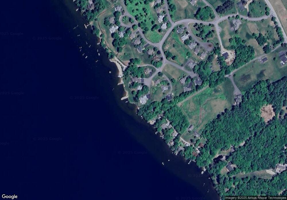
Map
Nearby Homes
- 199 Cottage City Rd
- 383 Wulamat Rd
- 114 Ledgewood Terrace
- 862 Mayhew Turnpike Unit 1
- 40 Adams Rd
- 35 Manor Estates Dr Unit 14
- 26 Don Gerry Rd
- 94 Mandi Ln
- 4 Birchwood Dr Unit A
- 497 W Shore Rd
- 00 Ledgewood Cir Unit 7
- 125 Verrill Rd
- Lot 7 Hall Rd
- Lots 1 & 2 Hall Rd
- 341 Perkins Hill Rd
- 301 Perkins Hill Rd
- 10 Merrill Rd
- 29 Daniels Rd
- 333 Lake St
- 150 Peaked Hill Rd
- 50 Iroquois Path
- 146 Rocky Shore Rd
- 6 Iroquois Path
- 6 Iroquois Ln
- 40 Iroquois Path Unit 33
- 26 Iroquois Path Unit 39
- 148 Rocky Shore Rd
- 156 Rocky Shore Rd
- 14 Iroquois Path
- 129 Tomahawk Trail Unit 31
- 129 Tomahawk Trail
- 137 Tomahawk Trail Unit 30
- 172 Rocky Shore Rd
- 41 Abenaki Ln Unit 42
- 16 Mohawk Trail Unit 45
- 182 Rocky Shore Rd
- 22 Mohawk Trail Unit 46
- 167 Tomahawk Trail
- 5 Algonquin Path Unit 21
- 8 Mohawk Trail Unit 44