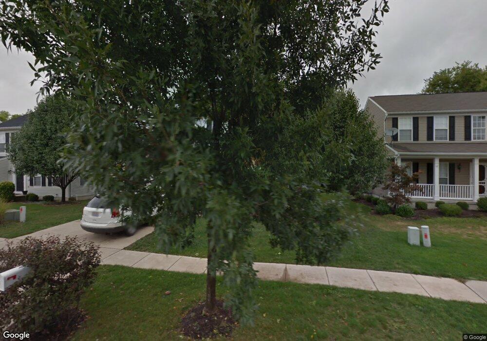
60 Kitty Hawk Dr Springboro, OH 45066
Estimated Value: $351,249 - $408,000
4
Beds
3
Baths
2,438
Sq Ft
$154/Sq Ft
Est. Value
About This Home
This home is located at 60 Kitty Hawk Dr, Springboro, OH 45066 and is currently estimated at $376,562, approximately $154 per square foot. 60 Kitty Hawk Dr is a home located in Montgomery County with nearby schools including Clearcreek Elementary School, Springboro Intermediate School, and Springboro Junior High School.
Ownership History
Date
Name
Owned For
Owner Type
Purchase Details
Closed on
Nov 29, 2010
Sold by
Federal Home Loan Mortgage Corporation
Bought by
Antisdel Brian
Current Estimated Value
Home Financials for this Owner
Home Financials are based on the most recent Mortgage that was taken out on this home.
Original Mortgage
$105,650
Interest Rate
4.84%
Mortgage Type
New Conventional
Purchase Details
Closed on
Oct 7, 2010
Sold by
Clouse Michael J
Bought by
Federal Home Loan Mortgage Corp
Home Financials for this Owner
Home Financials are based on the most recent Mortgage that was taken out on this home.
Original Mortgage
$105,650
Interest Rate
4.84%
Mortgage Type
New Conventional
Purchase Details
Closed on
Aug 17, 2001
Sold by
Nvr Inc
Bought by
Clouse Michael J
Home Financials for this Owner
Home Financials are based on the most recent Mortgage that was taken out on this home.
Original Mortgage
$158,284
Interest Rate
7.28%
Create a Home Valuation Report for This Property
The Home Valuation Report is an in-depth analysis detailing your home's value as well as a comparison with similar homes in the area
Purchase History
| Date | Buyer | Sale Price | Title Company |
|---|---|---|---|
| Antisdel Brian | $122,000 | Attorney | |
| Federal Home Loan Mortgage Corp | $140,000 | None Available | |
| Clouse Michael J | $183,300 | First Title Agency Inc |
Source: Public Records
Mortgage History
| Date | Status | Borrower | Loan Amount |
|---|---|---|---|
| Previous Owner | Antisdel Brian | $105,650 | |
| Previous Owner | Clouse Michael J | $158,284 |
Source: Public Records
Tax History
| Year | Tax Paid | Tax Assessment Tax Assessment Total Assessment is a certain percentage of the fair market value that is determined by local assessors to be the total taxable value of land and additions on the property. | Land | Improvement |
|---|---|---|---|---|
| 2025 | $4,546 | $88,590 | $21,870 | $66,720 |
| 2024 | $4,605 | $88,590 | $21,870 | $66,720 |
| 2023 | $4,605 | $88,590 | $21,870 | $66,720 |
| 2022 | $3,537 | $62,380 | $15,400 | $46,980 |
| 2021 | $3,543 | $62,380 | $15,400 | $46,980 |
| 2020 | $4,650 | $79,140 | $15,400 | $63,740 |
| 2019 | $3,257 | $56,360 | $14,000 | $42,360 |
| 2018 | $3,266 | $56,360 | $14,000 | $42,360 |
| 2017 | $3,462 | $56,360 | $14,000 | $42,360 |
| 2016 | $3,369 | $53,170 | $14,000 | $39,170 |
| 2015 | $4,150 | $53,170 | $14,000 | $39,170 |
| 2014 | $4,150 | $64,280 | $14,000 | $50,280 |
| 2012 | -- | $42,940 | $14,000 | $28,940 |
Source: Public Records
Map
Nearby Homes
- 110 Kitty Hawk Dr
- 145 Kitty Hawk Dr
- 2005 Glen Valley Dr Unit 210
- 2005 Glen Valley Dr
- 2006 Glen Valley Dr Unit 216
- 2017 Glen Valley Dr Unit 213
- 365 Crockett Dr
- 10010 Washington Glen Dr
- 10084 Gully Pass Dr Unit 248
- 10084 Gully Pass Dr
- 10205 Gully Pass Dr Unit 253
- 10109 Gully Pass Dr
- 10109 Gully Pass Dr Unit 250
- 10152 Gully Pass Dr
- 10213 Gully Pass Dr
- 10213 Gully Pass Dr Unit 251
- 1701 Glade Valley Dr
- 1674 Glade Valley Dr
- 195 Oasis Ct
- 25 Blose Ct
- 60 Mcdaniels Ln
- 70 Kitty Hawk Dr
- 50 Kitty Hawk Dr
- 80 Kitty Hawk Dr
- 40 Kitty Hawk Dr
- 45 Kitty Hawk Dr
- 90 Kitty Hawk Dr
- 30 Kitty Hawk Dr
- 65 Kitty Hawk Dr
- 790 Settlers Walk Blvd
- 85 Kitty Hawk Dr
- 20 Kitty Hawk Dr
- 15 McCullogh St
- 120 Kitty Hawk Dr
- 10 Kitty Hawk Dr
- 750 Settlers Walk Blvd
- 730 Settlers Walk Blvd
- 10 McCullogh St
- 23 McCullogh St
- 795 Settlers Walk Blvd
Your Personal Tour Guide
Ask me questions while you tour the home.