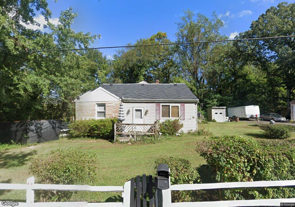
60 Mason Rd Prince Frederick, MD 20678
Estimated Value: $258,209 - $378,000
Studio
1
Bath
1,768
Sq Ft
$176/Sq Ft
Est. Value
About This Home
This home is located at 60 Mason Rd, Prince Frederick, MD 20678 and is currently estimated at $311,302, approximately $176 per square foot. 60 Mason Rd is a home located in Calvert County with nearby schools including Barstow Elementary School, Calvert Middle School, and Calvert High School.
Ownership History
Date
Name
Owned For
Owner Type
Purchase Details
Closed on
Jan 24, 2003
Sold by
Brooks Violette M and Brooks Theodore
Bought by
Brooks Violette M and Brooks Theodore
Current Estimated Value
Purchase Details
Closed on
May 24, 1994
Sold by
Brennan J M
Bought by
Brooks V M
Home Financials for this Owner
Home Financials are based on the most recent Mortgage that was taken out on this home.
Original Mortgage
$83,900
Interest Rate
8.44%
Purchase Details
Closed on
Feb 6, 1984
Sold by
Bayside Partnership
Bought by
Brennan John M
Create a Home Valuation Report for This Property
The Home Valuation Report is an in-depth analysis detailing your home's value as well as a comparison with similar homes in the area
Home Values in the Area
Average Home Value in this Area
Purchase History
| Date | Buyer | Sale Price | Title Company |
|---|---|---|---|
| Brooks Violette M | -- | -- | |
| Brooks V M | $84,000 | -- | |
| Brennan John M | $47,800 | -- |
Source: Public Records
Mortgage History
| Date | Status | Borrower | Loan Amount |
|---|---|---|---|
| Previous Owner | Brooks V M | $83,900 |
Source: Public Records
Tax History
| Year | Tax Paid | Tax Assessment Tax Assessment Total Assessment is a certain percentage of the fair market value that is determined by local assessors to be the total taxable value of land and additions on the property. | Land | Improvement |
|---|---|---|---|---|
| 2025 | $2,281 | $190,833 | $0 | $0 |
| 2024 | $2,146 | $178,800 | $83,500 | $95,300 |
| 2023 | $2,009 | $172,800 | $0 | $0 |
| 2022 | $1,944 | $166,800 | $0 | $0 |
| 2021 | $1,854 | $160,800 | $83,500 | $77,300 |
| 2020 | $1,854 | $157,967 | $0 | $0 |
| 2019 | $1,829 | $155,133 | $0 | $0 |
| 2018 | $1,787 | $152,300 | $83,500 | $68,800 |
| 2017 | $1,806 | $152,300 | $0 | $0 |
| 2016 | -- | $152,300 | $0 | $0 |
| 2015 | $1,763 | $153,800 | $0 | $0 |
| 2014 | $1,763 | $153,800 | $0 | $0 |
Source: Public Records
Map
Nearby Homes
- 240 Mason Rd
- 115 Thoroughbred Dr
- 87 Clydesdale Ln
- 63 Clydesdale Ln
- 365 Equestrian Way
- 360 Whirlaway Dr
- 380 Mason Rd
- 392 Whirlaway Dr
- 103 Westlake Blvd
- 145 Stafford Rd
- 667 Hawk Hill Dr
- 2590 Hallowing Point Rd
- 185 Radio Dr
- 105 Calvert Towne Rd
- 241 Sullivan Ln
- 84 Potomac Ct
- 82 Potomac Ct
- 78 Potomac Ct
- 76 Potomac Ct
- 102 Potomac Ct
- 40 Mason Rd
- 90 Mason Rd
- 65 Mason Rd
- 55 Mason Rd
- 45 Mason Rd
- 25 Mason Rd
- 100 Mason Rd
- 1200 Hallowing Point Rd
- 1250 Hallowing Point Rd
- 91 Mason Rd
- 1290 Hallowing Point Rd
- 95 Mason Rd
- 1195 Hallowing Point Rd
- 0 Mason Rd Unit CA7261432
- 0 Mason Rd Unit MDCA179880
- 0 Mason Rd Unit 1009033564
- 1320 Hallowing Point Rd
- 99 Mason Rd
- 170 Mason Rd
- 1440 Hallowing Point Rd
Your Personal Tour Guide
Ask me questions while you tour the home.