60 Mayberry Cir Unit 9 Branson West, MO 65737
Estimated Value: $547,000 - $573,000
--
Bed
4
Baths
1,174
Sq Ft
$479/Sq Ft
Est. Value
About This Home
This home is located at 60 Mayberry Cir Unit 9, Branson West, MO 65737 and is currently estimated at $561,770, approximately $478 per square foot. 60 Mayberry Cir Unit 9 is a home located in Stone County with nearby schools including Reeds Spring Primary School, Reeds Spring Elementary School, and Reeds Spring Middle School.
Ownership History
Date
Name
Owned For
Owner Type
Purchase Details
Closed on
Oct 30, 2023
Sold by
C4m Properties Llc
Bought by
Melville Development Llc
Current Estimated Value
Purchase Details
Closed on
May 6, 2021
Sold by
Bickel Ron and Bickel Shelley
Bought by
C4m Properties Llc
Home Financials for this Owner
Home Financials are based on the most recent Mortgage that was taken out on this home.
Original Mortgage
$300,000
Interest Rate
3.1%
Mortgage Type
Future Advance Clause Open End Mortgage
Purchase Details
Closed on
Feb 28, 2005
Sold by
Wolff William Lee and Wolff Sylvia
Bought by
Batliner Richard P and Batliner Deborah M
Home Financials for this Owner
Home Financials are based on the most recent Mortgage that was taken out on this home.
Original Mortgage
$199,920
Interest Rate
5.71%
Mortgage Type
New Conventional
Create a Home Valuation Report for This Property
The Home Valuation Report is an in-depth analysis detailing your home's value as well as a comparison with similar homes in the area
Home Values in the Area
Average Home Value in this Area
Purchase History
| Date | Buyer | Sale Price | Title Company |
|---|---|---|---|
| Melville Development Llc | -- | None Listed On Document | |
| C4m Properties Llc | -- | None Available | |
| Batliner Richard P | -- | -- |
Source: Public Records
Mortgage History
| Date | Status | Borrower | Loan Amount |
|---|---|---|---|
| Previous Owner | C4m Properties Llc | $300,000 | |
| Previous Owner | Batliner Richard P | $199,920 |
Source: Public Records
Tax History Compared to Growth
Tax History
| Year | Tax Paid | Tax Assessment Tax Assessment Total Assessment is a certain percentage of the fair market value that is determined by local assessors to be the total taxable value of land and additions on the property. | Land | Improvement |
|---|---|---|---|---|
| 2025 | $2,527 | $47,330 | -- | -- |
| 2024 | $2,523 | $47,330 | -- | -- |
| 2023 | $2,523 | $47,330 | $0 | $0 |
| 2022 | $2,511 | $25,100 | $0 | $0 |
| 2021 | $1,236 | $25,100 | $0 | $0 |
| 2020 | $1,089 | $25,100 | $0 | $0 |
| 2019 | $1,082 | $25,100 | $0 | $0 |
| 2018 | $1,081 | $25,100 | $0 | $0 |
| 2017 | $1,082 | $25,100 | $0 | $0 |
| 2016 | $1,053 | $25,100 | $0 | $0 |
| 2015 | $1,055 | $25,100 | $0 | $0 |
| 2014 | $1,037 | $25,100 | $0 | $0 |
| 2012 | -- | $25,100 | $0 | $0 |
Source: Public Records
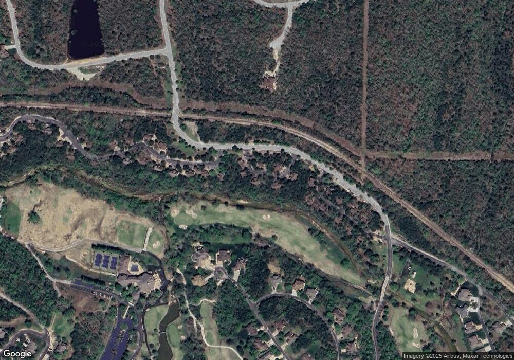
Map
Nearby Homes
- 60 Mayberry Cir
- 217 Baldknobber Dr Unit 30
- 1105 Ledgestone Ln
- 1704 Cedar Ridge Way
- 000 Beechwood Dr
- 1311 Stoneycreek Ln
- 801 Silvercliff Way
- 1304 Stoneycreek Ln
- 807 Silvercliff Way
- 603 Stoney Kirk Cir
- 000 Baldknobber -1 25+ - Acres Dr
- 880 Black Forest Ln
- 41 Stepping Stone Way Unit 55
- Lot 30 Roark Branch Rd
- 415 Silverwood Cir
- 000 Lot 8 Forest Lake 2nd Add
- 113 Black Forest Ln
- Lot 205 Black Forest Ln
- Lot 175 Black Forest Ln
- 112 Black Forest Ln
- 60 Mayberry Cir Unit 13 (On Sign)
- 72 Mayberry Cir Unit 14
- 65 Mayberry Cir
- 65 Mayberry Cir Unit 16
- 86 Mayberry Cir
- 31 Mayberry Circle #17 Unit 16
- 31 Mayberry Cr #17 Unit 17
- 31 Mayberry Circle #17
- 31 Mayberry Cir Unit 17
- 26 Mayberry Cir Unit 11
- 26 Mayberry Cir
- 24 Badknobber Dr Unit 18
- 15 Baldknobber Dr
- 26 Baldknobber Dr
- 34 Baldknobber #19
- 34 Baldknobber Dr Unit 19
- 101 Lost Creek Cir Unit 5
- 101 Lost Creek Cir
- 117 Lost Creek Cir Unit 6
- 117 Lost Creek Cir