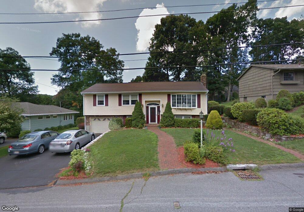
60 Miscoe Rd Worcester, MA 01604
Broadmeadow Brook NeighborhoodEstimated Value: $436,000 - $466,096
3
Beds
3
Baths
1,146
Sq Ft
$394/Sq Ft
Est. Value
About This Home
This home is located at 60 Miscoe Rd, Worcester, MA 01604 and is currently estimated at $451,024, approximately $393 per square foot. 60 Miscoe Rd is a home located in Worcester County with nearby schools including Jacob Hiatt Magnet School, Chandler Magnet, and Rice Square Elementary School.
Create a Home Valuation Report for This Property
The Home Valuation Report is an in-depth analysis detailing your home's value as well as a comparison with similar homes in the area
Home Values in the Area
Average Home Value in this Area
Tax History
| Year | Tax Paid | Tax Assessment Tax Assessment Total Assessment is a certain percentage of the fair market value that is determined by local assessors to be the total taxable value of land and additions on the property. | Land | Improvement |
|---|---|---|---|---|
| 2025 | $5,562 | $421,700 | $117,900 | $303,800 |
| 2024 | $5,422 | $394,300 | $117,900 | $276,400 |
| 2023 | $5,290 | $368,900 | $102,500 | $266,400 |
| 2022 | $4,688 | $308,200 | $82,000 | $226,200 |
| 2021 | $4,651 | $285,700 | $65,600 | $220,100 |
| 2020 | $4,451 | $261,800 | $65,600 | $196,200 |
| 2019 | $4,347 | $241,500 | $59,000 | $182,500 |
| 2018 | $4,380 | $231,600 | $59,000 | $172,600 |
| 2017 | $4,203 | $218,700 | $59,000 | $159,700 |
| 2016 | $4,151 | $201,400 | $43,000 | $158,400 |
| 2015 | $4,042 | $201,400 | $43,000 | $158,400 |
| 2014 | $3,935 | $201,400 | $43,000 | $158,400 |
Source: Public Records
Map
Nearby Homes
- 3 Julien Ave
- 266 Massasoit Rd
- 256 Massasoit Rd
- 259 Massasoit Rd
- 9 Marissa Cir
- 25 Stoneham Rd
- 53 Denver Terrace
- 464-466 Granite St
- 460-462 Granite St
- 460-466 Granite St
- 7 Clarissa St
- 300 Millbury Ave
- 1195 Grafton St Unit 29
- 1195 Grafton St Unit 19
- 1195 Grafton St Unit 39
- 6 Nathaniel St
- 8 Nightview Place
- 62 Allston Ave
- 20 Brightwood Ave
- 47 Gibbs St
Your Personal Tour Guide
Ask me questions while you tour the home.