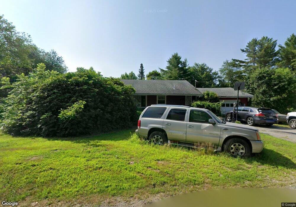
60 Myrtle St Manchester, ME 04351
Estimated Value: $396,000 - $600,643
3
Beds
3
Baths
1,080
Sq Ft
$438/Sq Ft
Est. Value
About This Home
This home is located at 60 Myrtle St, Manchester, ME 04351 and is currently estimated at $473,411, approximately $438 per square foot. 60 Myrtle St is a home.
Ownership History
Date
Name
Owned For
Owner Type
Purchase Details
Closed on
Aug 16, 2005
Sold by
Choate Eugene P
Bought by
Lyon Angela J and Lyon Scotkt D
Current Estimated Value
Home Financials for this Owner
Home Financials are based on the most recent Mortgage that was taken out on this home.
Original Mortgage
$15,000
Outstanding Balance
$7,819
Interest Rate
5.54%
Mortgage Type
Purchase Money Mortgage
Estimated Equity
$465,592
Create a Home Valuation Report for This Property
The Home Valuation Report is an in-depth analysis detailing your home's value as well as a comparison with similar homes in the area
Home Values in the Area
Average Home Value in this Area
Purchase History
| Date | Buyer | Sale Price | Title Company |
|---|---|---|---|
| Lyon Angela J | -- | -- |
Source: Public Records
Mortgage History
| Date | Status | Borrower | Loan Amount |
|---|---|---|---|
| Open | Lyon Angela J | $15,000 |
Source: Public Records
Tax History Compared to Growth
Tax History
| Year | Tax Paid | Tax Assessment Tax Assessment Total Assessment is a certain percentage of the fair market value that is determined by local assessors to be the total taxable value of land and additions on the property. | Land | Improvement |
|---|---|---|---|---|
| 2024 | $6,897 | $415,500 | $62,900 | $352,600 |
| 2023 | $6,897 | $415,500 | $62,900 | $352,600 |
| 2022 | $6,544 | $415,500 | $62,900 | $352,600 |
| 2021 | $6,237 | $389,800 | $62,900 | $326,900 |
| 2020 | $6,822 | $389,800 | $62,900 | $326,900 |
| 2019 | $6,860 | $389,800 | $62,900 | $326,900 |
| 2018 | $6,763 | $389,800 | $62,900 | $326,900 |
| 2017 | $6,588 | $389,800 | $62,900 | $326,900 |
| 2016 | $6,393 | $389,800 | $62,900 | $326,900 |
| 2015 | $6,217 | $389,800 | $62,900 | $326,900 |
| 2013 | $5,828 | $389,800 | $62,900 | $326,900 |
Source: Public Records
Map
Nearby Homes
- 26 Peggy Ln
- 0 Ingraham St
- 0 Cross St
- 693- B Western Ave
- 33 Woodridge Dr
- 0 Allen Hill Ln
- 35 Estates Dr Unit 3
- 43 Estates Dr Unit 1
- 2549 US Route 202
- 226 Pond Rd
- 165 Wade Rd
- 772 Prescott Rd
- 49,52 & 62 Parkway Ln
- 424 Winthrop St
- 1 Stony Brook Rd
- 3 Tallwood Rd
- TBD Pond Rd
- 0 Anthony Ave Map 5 Lot 110a
- 127 Bond Brook Rd
- 120 Bond Brook Rd