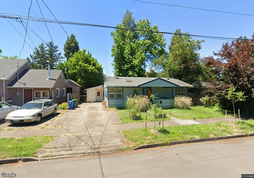
60 N Adams St Eugene, OR 97402
Whiteaker NeighborhoodEstimated Value: $353,000 - $426,000
2
Beds
2
Baths
1,296
Sq Ft
$294/Sq Ft
Est. Value
About This Home
This home is located at 60 N Adams St, Eugene, OR 97402 and is currently estimated at $381,141, approximately $294 per square foot. 60 N Adams St is a home located in Lane County with nearby schools including River Road/El Camino del Río Elementary School, Kelly Middle School, and North Eugene High School.
Ownership History
Date
Name
Owned For
Owner Type
Purchase Details
Closed on
Aug 25, 2011
Sold by
Beck Leslie P
Bought by
Bollo Christina S
Current Estimated Value
Home Financials for this Owner
Home Financials are based on the most recent Mortgage that was taken out on this home.
Original Mortgage
$141,600
Outstanding Balance
$97,048
Interest Rate
4.43%
Mortgage Type
New Conventional
Estimated Equity
$284,093
Purchase Details
Closed on
Jan 8, 1998
Sold by
Sterry Craig
Bought by
Ralston Leslie P
Create a Home Valuation Report for This Property
The Home Valuation Report is an in-depth analysis detailing your home's value as well as a comparison with similar homes in the area
Home Values in the Area
Average Home Value in this Area
Purchase History
| Date | Buyer | Sale Price | Title Company |
|---|---|---|---|
| Bollo Christina S | $177,000 | First American Title Com | |
| Ralston Leslie P | -- | -- |
Source: Public Records
Mortgage History
| Date | Status | Borrower | Loan Amount |
|---|---|---|---|
| Open | Bollo Christina S | $141,600 |
Source: Public Records
Tax History
| Year | Tax Paid | Tax Assessment Tax Assessment Total Assessment is a certain percentage of the fair market value that is determined by local assessors to be the total taxable value of land and additions on the property. | Land | Improvement |
|---|---|---|---|---|
| 2025 | $3,818 | $195,955 | -- | -- |
| 2024 | $3,770 | $190,248 | -- | -- |
| 2023 | $3,770 | $184,707 | $0 | $0 |
| 2022 | $3,532 | $179,328 | $0 | $0 |
| 2021 | $3,318 | $174,105 | $0 | $0 |
| 2020 | $3,329 | $169,034 | $0 | $0 |
| 2019 | $3,215 | $164,111 | $0 | $0 |
| 2018 | $3,027 | $154,691 | $0 | $0 |
| 2017 | $2,891 | $154,691 | $0 | $0 |
| 2016 | $2,819 | $150,185 | $0 | $0 |
| 2015 | $2,720 | $145,811 | $0 | $0 |
| 2014 | $2,622 | $141,564 | $0 | $0 |
Source: Public Records
Map
Nearby Homes
- 9 N Monroe St Unit B
- 9 N Monroe St Unit D
- 9 N Monroe St Unit A
- 461 Blair Blvd
- 5713 Durst St
- 1030 W 5th Ave
- 527 Monroe St
- 490 W 4th Ave
- 427 Washington St
- 561 Madison St
- 561 577 Madison St
- 577 Madison St
- 1391 W 5th Ave
- 325 River Rd
- 960 W 7th Ave
- 990 W 7th Ave
- 710 Van Buren St
- 104 Holeman Ave
- 0 W 7th Aly
- 143 Shelton McMurphey Blvd
Your Personal Tour Guide
Ask me questions while you tour the home.