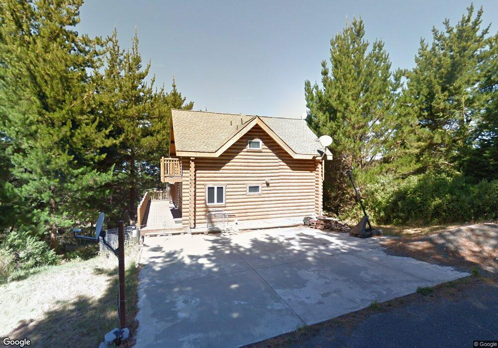
60 Ocean View Rd Whitethorn, CA 95589
Estimated Value: $550,000 - $703,000
3
Beds
2
Baths
2,565
Sq Ft
$234/Sq Ft
Est. Value
About This Home
This home is located at 60 Ocean View Rd, Whitethorn, CA 95589 and is currently estimated at $599,260, approximately $233 per square foot. 60 Ocean View Rd is a home located in Humboldt County.
Ownership History
Date
Name
Owned For
Owner Type
Purchase Details
Closed on
Apr 22, 2005
Sold by
Hogan Maureen A and Hogan Maureen
Bought by
Hogan Maureen A
Current Estimated Value
Home Financials for this Owner
Home Financials are based on the most recent Mortgage that was taken out on this home.
Original Mortgage
$356,800
Outstanding Balance
$178,005
Interest Rate
5.37%
Mortgage Type
New Conventional
Estimated Equity
$421,255
Purchase Details
Closed on
May 10, 2002
Sold by
Elledge Benjamin F and Elledge Helen M
Bought by
Hogan Maureen
Home Financials for this Owner
Home Financials are based on the most recent Mortgage that was taken out on this home.
Original Mortgage
$30,000
Interest Rate
6.74%
Mortgage Type
Seller Take Back
Create a Home Valuation Report for This Property
The Home Valuation Report is an in-depth analysis detailing your home's value as well as a comparison with similar homes in the area
Home Values in the Area
Average Home Value in this Area
Purchase History
| Date | Buyer | Sale Price | Title Company |
|---|---|---|---|
| Hogan Maureen A | -- | -- | |
| Hogan Maureen | -- | Humboldt Land Title Company |
Source: Public Records
Mortgage History
| Date | Status | Borrower | Loan Amount |
|---|---|---|---|
| Open | Hogan Maureen A | $356,800 | |
| Closed | Hogan Maureen | $30,000 |
Source: Public Records
Tax History
| Year | Tax Paid | Tax Assessment Tax Assessment Total Assessment is a certain percentage of the fair market value that is determined by local assessors to be the total taxable value of land and additions on the property. | Land | Improvement |
|---|---|---|---|---|
| 2025 | $5,002 | $452,480 | $66,466 | $386,014 |
| 2024 | $5,002 | $443,609 | $65,163 | $378,446 |
| 2023 | $5,020 | $434,912 | $63,886 | $371,026 |
| 2022 | $4,943 | $426,385 | $62,634 | $363,751 |
| 2021 | $3,489 | $300,000 | $56,150 | $243,850 |
| 2020 | $3,541 | $300,000 | $56,150 | $243,850 |
| 2019 | $3,521 | $300,000 | $56,150 | $243,850 |
| 2018 | $3,527 | $300,000 | $56,150 | $243,850 |
| 2017 | $3,427 | $300,000 | $56,150 | $243,850 |
| 2016 | $2,807 | $240,000 | $54,224 | $185,776 |
| 2015 | $2,833 | $240,000 | $54,224 | $185,776 |
| 2014 | $2,799 | $369,120 | $54,224 | $314,896 |
Source: Public Records
Map
Nearby Homes
- 1630 Upper Pacific Dr
- 142 Oceanview Rd
- 82 Fawn Dr
- 15 Seal Ct
- 6 Coral Point
- 9350 Shelter Cove Rd
- 36 Bambi Dr
- 16 Bambi Dr
- 23 Steelhead Ct
- 126 Neptune Dr
- 8 Buckhorn Ct
- 5 Antler Ct
- 27 Buckhorn Ct
- 81 Neptune Rd
- 75 Neptune Rd
- 794 & 806 Lower Pacific Dr
- 1325&1335 Upper Pacific Dr
- 112 Seafoam Rd
- 42 Vista Rd
- 161 Parkview Rd
- 48 Ocean View Rd
- 1638 Upper Pacific Dr
- 65 Ocean View Rd
- 1594 Upper Pacific Dr
- 17 View Cir
- 52 Ocean View Rd
- 1580 Upper Pacific Dr
- 1518 Upper Pacific
- 1566 Upper Pacific Dr
- 292 Bambi Dr
- 246 MacHi Rd
- 132 Ocean View Rd
- 122 Ocean View Rd
- 1661 Upper Pacific Dr
- 252 MacHi Rd
- 238 MacHi Rd
- 298 Bambi Dr
- 288 Bambi Dr
- 230 MacHi Rd
Your Personal Tour Guide
Ask me questions while you tour the home.