60 Outer Dr Florence, OR 97439
Estimated Value: $256,000 - $369,000
2
Beds
1
Bath
1,272
Sq Ft
$260/Sq Ft
Est. Value
About This Home
This home is located at 60 Outer Dr, Florence, OR 97439 and is currently estimated at $330,449, approximately $259 per square foot. 60 Outer Dr is a home located in Lane County with nearby schools including Siuslaw Elementary School, Siuslaw Middle School, and Siuslaw High School.
Ownership History
Date
Name
Owned For
Owner Type
Purchase Details
Closed on
Nov 10, 2008
Sold by
Mcintosh Raymond W
Bought by
Magill Jeffry K and Magill Bonnie K
Current Estimated Value
Purchase Details
Closed on
Feb 16, 2005
Sold by
Mcintosh Raymond William and Mc Intosh Raymond W
Bought by
Mcintosh Raymond William and The Mc Intosh Family Trust
Purchase Details
Closed on
Oct 5, 2003
Sold by
Hughes Faye Delores and Hughes Larry Chris
Bought by
Mcintosh Raymond W
Purchase Details
Closed on
Sep 27, 2001
Sold by
Jones Loretta A and Smith Cynthia A
Bought by
Bean Robert E
Purchase Details
Closed on
Aug 26, 1998
Sold by
Holeman Mary E
Bought by
Hughes Faye Delores and Hughes Larry Chris
Create a Home Valuation Report for This Property
The Home Valuation Report is an in-depth analysis detailing your home's value as well as a comparison with similar homes in the area
Home Values in the Area
Average Home Value in this Area
Purchase History
| Date | Buyer | Sale Price | Title Company |
|---|---|---|---|
| Magill Jeffry K | -- | Accommodation | |
| Mcintosh Raymond William | -- | -- | |
| Mcintosh Raymond W | $65,900 | Western Title & Escrow Co | |
| Bean Robert E | $35,000 | Cascade Title Co | |
| Hughes Faye Delores | $28,500 | Cascade Title Co |
Source: Public Records
Tax History
| Year | Tax Paid | Tax Assessment Tax Assessment Total Assessment is a certain percentage of the fair market value that is determined by local assessors to be the total taxable value of land and additions on the property. | Land | Improvement |
|---|---|---|---|---|
| 2025 | $1,888 | $138,381 | -- | -- |
| 2024 | $1,834 | $134,351 | -- | -- |
| 2023 | $1,834 | $130,438 | $0 | $0 |
| 2022 | $1,711 | $126,639 | $0 | $0 |
| 2021 | $1,675 | $122,951 | $0 | $0 |
| 2020 | $1,631 | $119,370 | $0 | $0 |
| 2019 | $480 | $35,439 | $0 | $0 |
| 2018 | $481 | $33,405 | $0 | $0 |
| 2017 | $464 | $33,405 | $0 | $0 |
| 2016 | $451 | $32,432 | $0 | $0 |
| 2015 | $441 | $31,487 | $0 | $0 |
| 2014 | $437 | $30,570 | $0 | $0 |
Source: Public Records
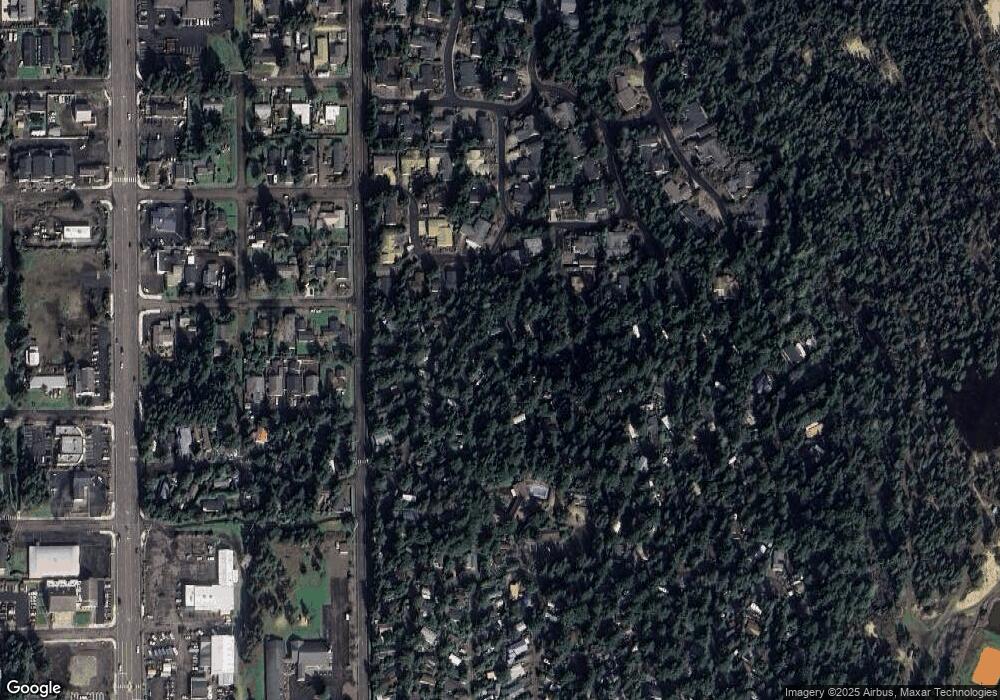
Map
Nearby Homes
- 49 Easy St
- 32 Easy St
- 73 Castaway Cove
- 71 Castaway Cove
- 83 Manzanita Way
- 125 Sailor Ln
- 179 Outer Dr
- 238 Horseshoe Bend
- 248 Horseshoe Bend
- 151 Outer Dr
- 2265 24th St
- 1673 29th St
- 1651 29th St
- 1699 27th St Unit 5
- 5301 Highway 101
- 1726 32nd St
- 1966 34th St
- 600 Erlandson Rd
- 3590 Highway 101
- 1073 Highway 101
Your Personal Tour Guide
Ask me questions while you tour the home.