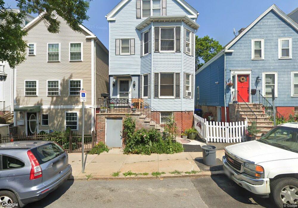
60 Putnam St Boston, MA 02128
Eagle Hill NeighborhoodEstimated Value: $719,002 - $816,000
4
Beds
2
Baths
1,692
Sq Ft
$455/Sq Ft
Est. Value
About This Home
This home is located at 60 Putnam St, Boston, MA 02128 and is currently estimated at $770,001, approximately $455 per square foot. 60 Putnam St is a home located in Suffolk County with nearby schools including Excel Academy East Boston and East Boston Central Catholic School.
Ownership History
Date
Name
Owned For
Owner Type
Purchase Details
Closed on
May 18, 2001
Sold by
Smith Eric
Bought by
Watson Steven E
Current Estimated Value
Purchase Details
Closed on
Jul 8, 1996
Sold by
Sullivan Michael A and Sullivan Loretta A
Bought by
Akin Gary J
Purchase Details
Closed on
Jun 9, 1987
Sold by
Lane William S
Bought by
Sullivan Michael A
Create a Home Valuation Report for This Property
The Home Valuation Report is an in-depth analysis detailing your home's value as well as a comparison with similar homes in the area
Home Values in the Area
Average Home Value in this Area
Purchase History
| Date | Buyer | Sale Price | Title Company |
|---|---|---|---|
| Watson Steven E | $316,150 | -- | |
| Akin Gary J | $87,500 | -- | |
| Sullivan Michael A | $150,000 | -- |
Source: Public Records
Mortgage History
| Date | Status | Borrower | Loan Amount |
|---|---|---|---|
| Open | Sullivan Michael A | $158,000 | |
| Closed | Sullivan Michael A | $155,000 | |
| Closed | Sullivan Michael A | $50,000 |
Source: Public Records
Tax History
| Year | Tax Paid | Tax Assessment Tax Assessment Total Assessment is a certain percentage of the fair market value that is determined by local assessors to be the total taxable value of land and additions on the property. | Land | Improvement |
|---|---|---|---|---|
| 2025 | $6,833 | $590,100 | $200,000 | $390,100 |
| 2024 | $6,233 | $571,800 | $195,300 | $376,500 |
| 2023 | $6,141 | $571,800 | $195,300 | $376,500 |
| 2022 | $5,871 | $539,600 | $184,300 | $355,300 |
| 2021 | $5,536 | $518,800 | $177,200 | $341,600 |
| 2020 | $4,337 | $410,700 | $167,400 | $243,300 |
| 2019 | $3,864 | $366,600 | $122,200 | $244,400 |
| 2018 | $3,494 | $333,400 | $122,200 | $211,200 |
| 2017 | $3,238 | $305,800 | $122,200 | $183,600 |
| 2016 | $3,298 | $299,800 | $122,200 | $177,600 |
| 2015 | $2,671 | $220,600 | $93,600 | $127,000 |
| 2014 | $2,500 | $198,700 | $93,600 | $105,100 |
Source: Public Records
Map
Nearby Homes
- 147 Trenton St Unit 3
- 212 Princeton St Unit 1
- 167 Lexington St Unit 3
- 243 Condor St Unit 4
- 125 Putnam St
- 278 Princeton St Unit 2
- 157 Princeton St Unit 2
- 301 Saratoga St Unit 2
- 421 Saratoga St Unit 4A
- 316 Princeton St Unit 2
- 305R Lexington St
- 76 Eutaw St
- 101 Condor St Unit 301
- 69 Falcon St Unit 2
- 9 Shelby St
- 90 Brooks St Unit 90
- 152 Saratoga St
- 337 Chelsea St Unit 1
- 64 Trenton St
- 98 Prescott St Unit 2
- 60 Putnam St Unit 2
- 60 Putnam St Unit 1
- 62 Putnam St
- 62 Putnam St Unit SF
- 58 Putnam St
- 56 Putnam St
- 100 White St Unit 102
- 100 White St Unit 4
- 100 White St Unit 1
- 100 White St Unit 5
- 100 White St Unit 3
- 100 White St Unit 2
- 54 Putnam St
- 104 White St
- 104 White St Unit 1
- 52 Putnam St
- 52 Putman St Unit 3
- 106 White St
- 63 Putnam St Unit 2
- 63 Putnam St Unit 1
Your Personal Tour Guide
Ask me questions while you tour the home.