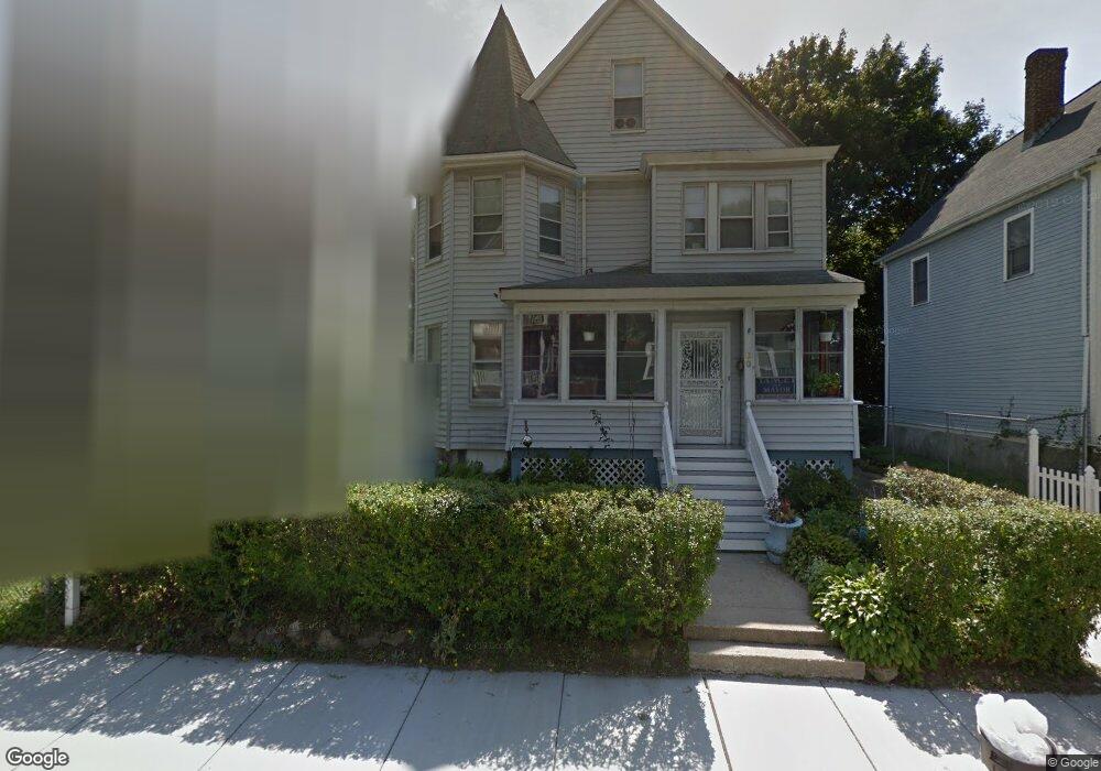
60 Rexford St Mattapan, MA 02126
Mattapan Square NeighborhoodEstimated Value: $681,000 - $739,000
4
Beds
2
Baths
2,303
Sq Ft
$309/Sq Ft
Est. Value
About This Home
This home is located at 60 Rexford St, Mattapan, MA 02126 and is currently estimated at $710,977, approximately $308 per square foot. 60 Rexford St is a home located in Suffolk County with nearby schools including KIPP Academy Boston Charter School, Berea Seventh-day Adventist Academy, and St. Mary of the Hills School.
Ownership History
Date
Name
Owned For
Owner Type
Purchase Details
Closed on
Jun 23, 1995
Sold by
Mcmasters John F
Bought by
Beauchamp Max
Current Estimated Value
Home Financials for this Owner
Home Financials are based on the most recent Mortgage that was taken out on this home.
Original Mortgage
$45,000
Interest Rate
7.82%
Mortgage Type
Purchase Money Mortgage
Create a Home Valuation Report for This Property
The Home Valuation Report is an in-depth analysis detailing your home's value as well as a comparison with similar homes in the area
Home Values in the Area
Average Home Value in this Area
Purchase History
| Date | Buyer | Sale Price | Title Company |
|---|---|---|---|
| Beauchamp Max | $60,000 | -- |
Source: Public Records
Mortgage History
| Date | Status | Borrower | Loan Amount |
|---|---|---|---|
| Open | Beauchamp Max | $132,000 | |
| Closed | Beauchamp Max | $116,000 | |
| Closed | Beauchamp Max | $45,000 | |
| Closed | Beauchamp Max | $12,000 |
Source: Public Records
Tax History Compared to Growth
Tax History
| Year | Tax Paid | Tax Assessment Tax Assessment Total Assessment is a certain percentage of the fair market value that is determined by local assessors to be the total taxable value of land and additions on the property. | Land | Improvement |
|---|---|---|---|---|
| 2025 | $7,320 | $632,100 | $240,700 | $391,400 |
| 2024 | $6,785 | $622,500 | $265,900 | $356,600 |
| 2023 | $6,365 | $592,600 | $253,100 | $339,500 |
| 2022 | $5,971 | $548,800 | $234,400 | $314,400 |
| 2021 | $5,380 | $504,200 | $223,200 | $281,000 |
| 2020 | $4,925 | $466,400 | $202,500 | $263,900 |
| 2019 | $4,724 | $448,200 | $157,800 | $290,400 |
| 2018 | $4,390 | $418,900 | $157,800 | $261,100 |
| 2017 | $4,070 | $384,300 | $157,800 | $226,500 |
| 2016 | $3,843 | $349,400 | $157,800 | $191,600 |
| 2015 | $3,473 | $286,800 | $122,700 | $164,100 |
| 2014 | $3,309 | $263,000 | $122,700 | $140,300 |
Source: Public Records
Map
Nearby Homes
- 95 Woodhaven St
- 48-50 Rockdale St
- 10 Brockton St
- 770 Cummins Hwy Unit 1
- 770 Cummins Hwy Unit 22
- 90 Hollingsworth St
- 1465 Blue Hill Ave
- 84 Blue Hills Pkwy
- 16 Blue Hill Ave
- 645 River St
- 839-843 Cummins Hwy
- 23 Caton St
- 24 Constitution Rd
- 4 Crossman St Unit 4
- 27 Hawthorn Rd
- 11 French St
- 25 Alpine St Unit 7
- 10 Briarcliff Terrace
- 20 Monterey Ave
- 128 Blue Hills Pkwy
- 56 Rexford St
- 56 Rexford St Unit B
- 64 Rexford St
- 54 Rexford St
- 884 Cummins Hwy Unit 8
- 59 Rexford St
- 59 Rexford St Unit 1
- 59 Rexford St Unit 2
- 57 Rexford St
- 57 Rexford St Unit 1
- 57 Rexford St Unit 2
- 48 Rexford St Unit 50
- 61 Rexford St
- 876 Cummins Hwy Unit 3
- 876 Cummins Hwy Unit 1
- 44-46 Rexford St
- 51 Rexford St
- 1585-R Blue Hill Ave
- 44 Rexford St Unit 46
- 49 Rexford St