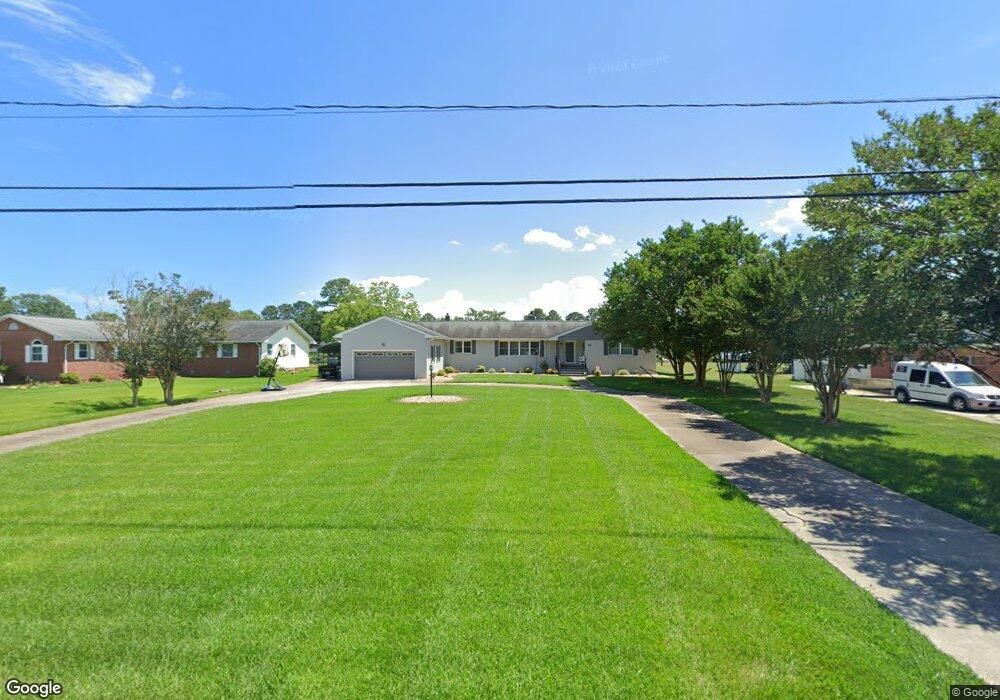
60 River Rd Poquoson, VA 23662
Poquoson Shores NeighborhoodEstimated Value: $754,174 - $801,000
3
Beds
3
Baths
2,886
Sq Ft
$267/Sq Ft
Est. Value
About This Home
This home is located at 60 River Rd, Poquoson, VA 23662 and is currently estimated at $771,794, approximately $267 per square foot. 60 River Rd is a home located in Poquoson City with nearby schools including Emmanuel Lutheran School, Living Word Academy, and Summit Christian Academy - Upper School.
Ownership History
Date
Name
Owned For
Owner Type
Purchase Details
Closed on
Jan 7, 2020
Sold by
Hedrick Gregory H and Hedrick Brenda L
Bought by
Hedrick Bobby Aaron and Keefe Krista Brooke
Current Estimated Value
Purchase Details
Closed on
Apr 10, 2018
Sold by
Costulis John A and Costulis Phyllis K
Bought by
Hendrick Gregory H and Hendrick Brenda L
Home Financials for this Owner
Home Financials are based on the most recent Mortgage that was taken out on this home.
Original Mortgage
$443,200
Outstanding Balance
$380,504
Interest Rate
4.46%
Mortgage Type
New Conventional
Estimated Equity
$391,290
Create a Home Valuation Report for This Property
The Home Valuation Report is an in-depth analysis detailing your home's value as well as a comparison with similar homes in the area
Home Values in the Area
Average Home Value in this Area
Purchase History
| Date | Buyer | Sale Price | Title Company |
|---|---|---|---|
| Hedrick Bobby Aaron | -- | None Available | |
| Hendrick Gregory H | $554,000 | Attorney |
Source: Public Records
Mortgage History
| Date | Status | Borrower | Loan Amount |
|---|---|---|---|
| Open | Hendrick Gregory H | $443,200 |
Source: Public Records
Tax History Compared to Growth
Tax History
| Year | Tax Paid | Tax Assessment Tax Assessment Total Assessment is a certain percentage of the fair market value that is determined by local assessors to be the total taxable value of land and additions on the property. | Land | Improvement |
|---|---|---|---|---|
| 2025 | $7,490 | $657,000 | $299,900 | $357,100 |
| 2024 | $7,416 | $650,500 | $275,600 | $374,900 |
| 2023 | $7,221 | $650,500 | $275,600 | $374,900 |
| 2022 | $6,693 | $592,300 | $275,700 | $316,600 |
| 2021 | $6,693 | $592,300 | $275,700 | $316,600 |
| 2020 | -- | $563,200 | $275,700 | $287,500 |
| 2019 | -- | $563,200 | $275,700 | $287,500 |
| 2018 | -- | $551,400 | $275,700 | $275,700 |
| 2017 | -- | $530,100 | $275,700 | $254,400 |
| 2016 | -- | $530,100 | $275,700 | $254,400 |
| 2015 | -- | $544,600 | $290,200 | $254,400 |
| 2013 | -- | $544,600 | $290,200 | $254,400 |
Source: Public Records
Map
Nearby Homes
- 15+AC Browns Neck Rd
- 41 W Sandy Point Rd
- 21 Rens Rd
- 718C Poquoson Ave
- 11 Valmoore Dr
- 105 Rens Rd Unit 74
- 105 Rens Rd Unit 30
- 105 Rens Rd Unit 2
- 105 Rens Rd Unit Lot 48
- 6 Lessies Dr
- 28 Pasture Rd
- 63 Charles Parish Dr
- 1 Phillips Rd
- 7 Carmines Ct
- 3 Carmines Ct
- 8 Wornom Farm Rd
- 32 Village Park Ln
- 8 White House Dr
- 10 White House Dr
- 55 S Valasia Rd