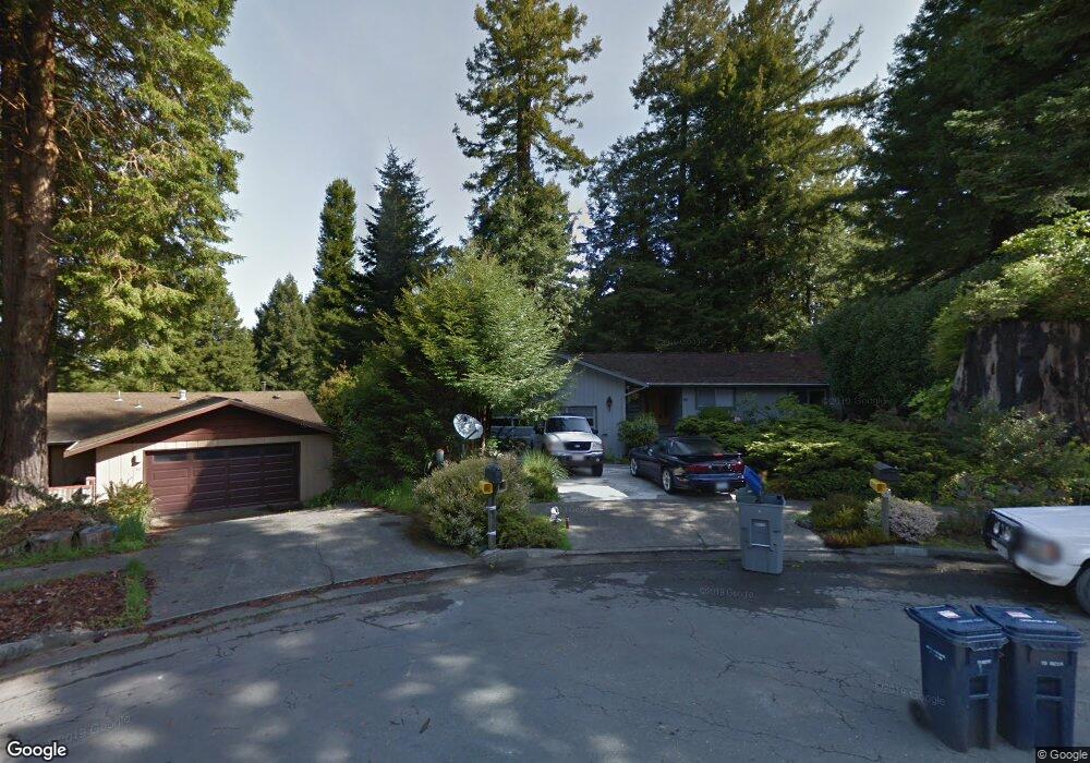
60 Robert Ct W Arcata, CA 95521
California Heights NeighborhoodEstimated Value: $473,000 - $555,000
3
Beds
3
Baths
1,380
Sq Ft
$374/Sq Ft
Est. Value
About This Home
This home is located at 60 Robert Ct W, Arcata, CA 95521 and is currently estimated at $515,837, approximately $373 per square foot. 60 Robert Ct W is a home located in Humboldt County with nearby schools including Arcata Elementary School, Sunny Brae Middle School, and Arcata High School.
Ownership History
Date
Name
Owned For
Owner Type
Purchase Details
Closed on
May 20, 2019
Sold by
Marsant Pavel and Marsant Irina
Bought by
Marsant Pavel and Marsant Irina
Current Estimated Value
Purchase Details
Closed on
Jul 21, 2011
Sold by
Forrester Christina R and Swanson Family Trust
Bought by
Marsant Stanislav and Marsant Pavel
Home Financials for this Owner
Home Financials are based on the most recent Mortgage that was taken out on this home.
Original Mortgage
$263,155
Outstanding Balance
$178,144
Interest Rate
4.25%
Mortgage Type
FHA
Estimated Equity
$337,693
Purchase Details
Closed on
Aug 19, 2009
Sold by
Swanson Walter R and Swanson Eva A
Bought by
Swanson Walter R and Swanson Eva A
Create a Home Valuation Report for This Property
The Home Valuation Report is an in-depth analysis detailing your home's value as well as a comparison with similar homes in the area
Home Values in the Area
Average Home Value in this Area
Purchase History
| Date | Buyer | Sale Price | Title Company |
|---|---|---|---|
| Marsant Pavel | -- | None Available | |
| Marsant Pavel | -- | None Available | |
| Marsant Stanislav | $270,000 | Humboldt Land Title Company | |
| Swanson Walter R | -- | None Available |
Source: Public Records
Mortgage History
| Date | Status | Borrower | Loan Amount |
|---|---|---|---|
| Open | Marsant Stanislav | $263,155 |
Source: Public Records
Tax History
| Year | Tax Paid | Tax Assessment Tax Assessment Total Assessment is a certain percentage of the fair market value that is determined by local assessors to be the total taxable value of land and additions on the property. | Land | Improvement |
|---|---|---|---|---|
| 2025 | $3,911 | $339,122 | $175,842 | $163,280 |
| 2024 | $3,911 | $332,474 | $172,395 | $160,079 |
| 2023 | $3,830 | $325,956 | $169,015 | $156,941 |
| 2022 | $3,901 | $319,565 | $165,701 | $153,864 |
| 2021 | $3,717 | $313,300 | $162,452 | $150,848 |
| 2020 | $3,668 | $310,089 | $160,787 | $149,302 |
| 2019 | $3,550 | $304,010 | $157,635 | $146,375 |
| 2018 | $3,469 | $298,050 | $154,545 | $143,505 |
| 2017 | $3,401 | $292,207 | $151,515 | $140,692 |
| 2016 | $3,294 | $286,479 | $148,545 | $137,934 |
| 2015 | -- | $282,177 | $146,314 | $135,863 |
| 2014 | -- | $276,650 | $143,448 | $133,202 |
Source: Public Records
Map
Nearby Homes
- 113 Sylva St
- 119 Sylva St
- 330 California Ave
- 1096 Diamond Dr
- 1346 Diamond Dr
- 812 Diamond Dr
- 2700 Meadow Creek Way
- 3122 St Louis Rd
- 120 & 120a 13th St
- 3028 Alliance Rd
- 1254 Mccallum Cir
- 3030 Alliance Rd
- 1666 Stewart Ave
- 3301 Antoinette Ct
- 632 9th St
- 3659 Spear Ave
- 753 Shirley Blvd
- 751 Patrick Ct
- 1082 Cedar Dr
- 1524 Beverly Dr
- 2669 Hilltop Ct
- 2629 Hilltop Ct
- 80 Robert Ct W
- 2731 Green Briar Ln
- 2725 Green Briar Ln
- 2735 Greenbriar Ln
- 15 Robert Ct W
- 2735 Green Briar Ln
- 75 Robert Ct W
- 2711 Hilltop Ct
- 2670 Hilltop Ct
- 32 Robert Ct E
- 55 Robert Ct W
- 22 Estelle Ct
- 2712 Green Briar Ln
- 2549 Hilltop Ct
- 47 Robert Ct E
- 2580 Hilltop Ct
- 2709 Green Briar Ln
- 2720 Hilltop Ct
Your Personal Tour Guide
Ask me questions while you tour the home.