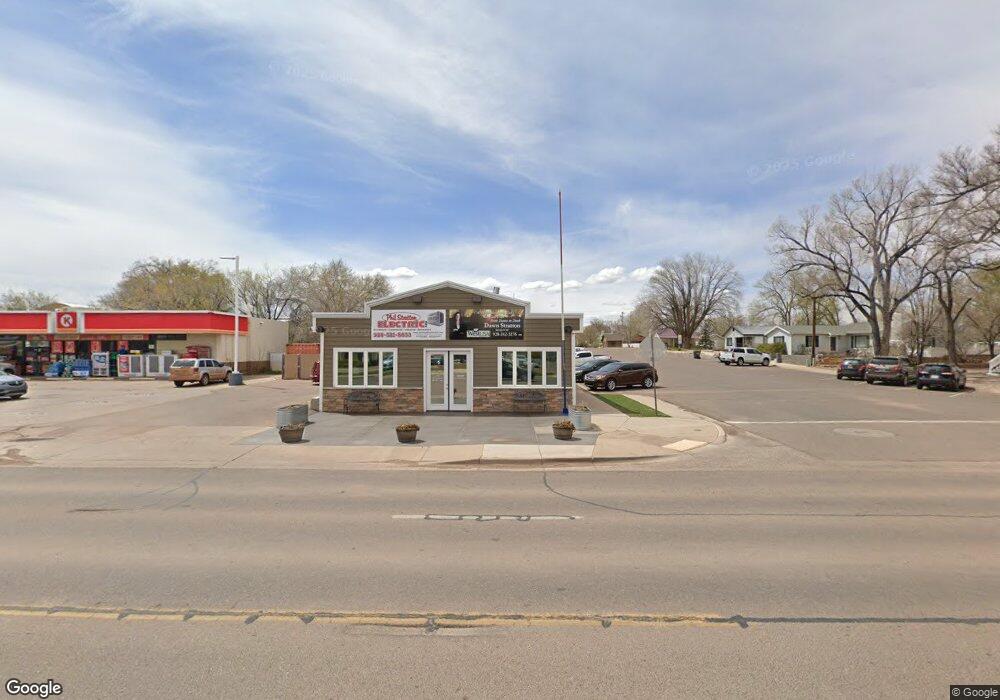
60 S Main St Snowflake, AZ 85937
Estimated Value: $359,761
Studio
--
Bath
1,776
Sq Ft
$203/Sq Ft
Est. Value
About This Home
This home is located at 60 S Main St, Snowflake, AZ 85937 and is currently priced at $359,761, approximately $202 per square foot. 60 S Main St is a home located in Navajo County with nearby schools including Snowflake Intermediate School, Highland Primary School, and Snowflake Junior High School.
Ownership History
Date
Name
Owned For
Owner Type
Purchase Details
Closed on
Oct 17, 2025
Sold by
Matyas Samuel and Matyas Patricia
Bought by
Holey Grounds Llc
Current Estimated Value
Home Financials for this Owner
Home Financials are based on the most recent Mortgage that was taken out on this home.
Original Mortgage
$966,300
Outstanding Balance
$966,300
Interest Rate
6.5%
Mortgage Type
New Conventional
Purchase Details
Closed on
Nov 15, 2022
Sold by
Matyas Samuel
Bought by
Matyas Enterprises Llc
Home Financials for this Owner
Home Financials are based on the most recent Mortgage that was taken out on this home.
Original Mortgage
$250,000
Interest Rate
7.08%
Mortgage Type
New Conventional
Create a Home Valuation Report for This Property
The Home Valuation Report is an in-depth analysis detailing your home's value as well as a comparison with similar homes in the area
Home Values in the Area
Average Home Value in this Area
Purchase History
| Date | Buyer | Sale Price | Title Company |
|---|---|---|---|
| Holey Grounds Llc | $860,000 | Arizona Escrow & Financial Cor | |
| Matyas Enterprises Llc | -- | Lawyers Title |
Source: Public Records
Mortgage History
| Date | Status | Borrower | Loan Amount |
|---|---|---|---|
| Open | Holey Grounds Llc | $966,300 | |
| Previous Owner | Matyas Enterprises Llc | $250,000 |
Source: Public Records
Tax History
| Year | Tax Paid | Tax Assessment Tax Assessment Total Assessment is a certain percentage of the fair market value that is determined by local assessors to be the total taxable value of land and additions on the property. | Land | Improvement |
|---|---|---|---|---|
| 2026 | $1,229 | -- | -- | -- |
| 2025 | $1,236 | $29,372 | $5,346 | $24,026 |
| 2024 | $1,333 | $24,882 | $5,346 | $19,536 |
| 2023 | $1,236 | $21,013 | $5,346 | $15,667 |
| 2022 | $1,333 | $0 | $0 | $0 |
| 2021 | $1,034 | $0 | $0 | $0 |
| 2020 | $1,036 | $0 | $0 | $0 |
| 2019 | $1,016 | $0 | $0 | $0 |
| 2018 | $989 | $0 | $0 | $0 |
| 2017 | $966 | $0 | $0 | $0 |
| 2016 | $981 | $0 | $0 | $0 |
| 2015 | $892 | $9,498 | $5,643 | $3,855 |
Source: Public Records
Map
Nearby Homes
- 44 S 3rd St W Unit W
- 44 S 3rd St W
- 276 N 2nd St W Unit West
- 461 W Center St
- 854 W 2nd South St
- 0 S 1st St W
- 999 S Highland Dr
- 0 S Main St
- 1033 E Adams St
- 1058 E Adams St
- 1050 E Jefferson St
- 1134 Jefferson St
- 1251 E Snowflake Blvd
- 7545 E Sherwood Ln Unit R
- 7545 E Sherwood Ln
- Parcel C Arizona 77
- Parcel A Arizona 77
- Parcel B Arizona 77
- 1537 S Main St
- 1403 Lobo Trail
Your Personal Tour Guide
Ask me questions while you tour the home.