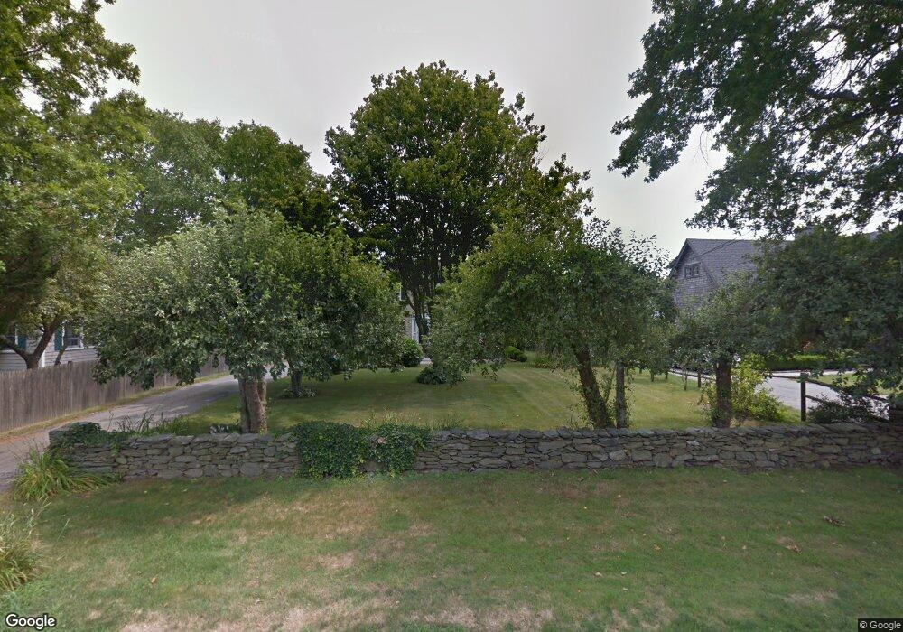
60 Sachuest Way Middletown, RI 02842
Estimated Value: $882,000 - $1,794,000
5
Beds
3
Baths
2,920
Sq Ft
$442/Sq Ft
Est. Value
About This Home
This home is located at 60 Sachuest Way, Middletown, RI 02842 and is currently estimated at $1,290,315, approximately $441 per square foot. 60 Sachuest Way is a home located in Newport County with nearby schools including Middletown High School, St Michael's Country Day School, and All Saints STEAM Academy.
Ownership History
Date
Name
Owned For
Owner Type
Purchase Details
Closed on
Jan 21, 2022
Sold by
Coffey Diane C
Bought by
Diane C Coffey Irt
Current Estimated Value
Purchase Details
Closed on
Oct 11, 1972
Bought by
Coffey Neill F and Coffey Diane C
Create a Home Valuation Report for This Property
The Home Valuation Report is an in-depth analysis detailing your home's value as well as a comparison with similar homes in the area
Home Values in the Area
Average Home Value in this Area
Purchase History
| Date | Buyer | Sale Price | Title Company |
|---|---|---|---|
| Diane C Coffey Irt | -- | None Available | |
| Neill F Coffey Irt | -- | None Available | |
| Coffey Neill F | -- | None Available | |
| Coffey Neill F | $12,000 | -- |
Source: Public Records
Mortgage History
| Date | Status | Borrower | Loan Amount |
|---|---|---|---|
| Previous Owner | Coffey Neill F | $94,000 | |
| Previous Owner | Coffey Neill F | $75,000 |
Source: Public Records
Tax History
| Year | Tax Paid | Tax Assessment Tax Assessment Total Assessment is a certain percentage of the fair market value that is determined by local assessors to be the total taxable value of land and additions on the property. | Land | Improvement |
|---|---|---|---|---|
| 2025 | $8,494 | $720,400 | $368,400 | $352,000 |
| 2024 | $8,112 | $720,400 | $368,400 | $352,000 |
| 2023 | $7,001 | $556,100 | $268,600 | $287,500 |
| 2022 | $6,684 | $556,100 | $268,600 | $287,500 |
| 2021 | $6,684 | $556,100 | $268,600 | $287,500 |
| 2020 | $6,352 | $461,600 | $206,700 | $254,900 |
| 2018 | $6,347 | $461,600 | $206,700 | $254,900 |
| 2016 | $6,689 | $433,800 | $187,900 | $245,900 |
| 2015 | $6,524 | $433,800 | $187,900 | $245,900 |
| 2014 | $6,584 | $409,700 | $170,800 | $238,900 |
| 2013 | $6,436 | $409,700 | $170,800 | $238,900 |
Source: Public Records
Map
Nearby Homes
- 0 Saltwood Dr
- 23 Indian Hill Cir
- 119 Corey Ln
- 141 Gray Craig Rd
- 310 Corey Ln
- 223 Corey Ln
- 79 Peckham Ln
- 515 Indian Ave
- 0 Honeyman Ave
- 16 Ward Ave
- 476 Green End Ave
- 222 Peckham Ave
- 118 Wolcott Ave
- 225 Old Mill Ln
- 84 Allston Ave
- 55 John Clarke Rd Unit 8
- 55 John Clarke Rd Unit 3
- 0 Allston Ave
- 318 Mitchell's Ln
- 11 Odonnell Rd
- 68 Sachuest Way
- 48 Sachuest Way
- 40 Sachuest Way
- 57 Sachuest Way
- 1213 Green End Ave
- 43 Sachuest Way
- 1215 Green End Ave
- 35 Sachuest Way
- 99 Sachuest Way
- 69 Sachuest Way
- 20 Sachuest Way
- 1211 Green End Ave
- 45 Sachuest Way
- 283 3rd Beach Rd
- 1175 Green End Ave
- 110 Sachuest Way
- 100 Sachuest Way
- 1173 Green End Ave
- 1173 Green End Ave Unit 2
- 1173 Green End Ave Unit A