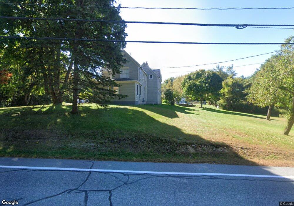
60 Tuttle Rd Cumberland Center, ME 04021
Estimated Value: $737,309 - $941,000
3
Beds
2
Baths
2,464
Sq Ft
$344/Sq Ft
Est. Value
About This Home
This home is located at 60 Tuttle Rd, Cumberland Center, ME 04021 and is currently estimated at $846,577, approximately $343 per square foot. 60 Tuttle Rd is a home located in Cumberland County with nearby schools including Mabel I. Wilson School, Greely Middle School 4-5, and Greely Middle School.
Ownership History
Date
Name
Owned For
Owner Type
Purchase Details
Closed on
Oct 11, 2012
Sold by
Bennert Katherine P
Bought by
Bennert Jeffrey D
Current Estimated Value
Home Financials for this Owner
Home Financials are based on the most recent Mortgage that was taken out on this home.
Original Mortgage
$366,000
Interest Rate
3.59%
Mortgage Type
Purchase Money Mortgage
Create a Home Valuation Report for This Property
The Home Valuation Report is an in-depth analysis detailing your home's value as well as a comparison with similar homes in the area
Home Values in the Area
Average Home Value in this Area
Purchase History
| Date | Buyer | Sale Price | Title Company |
|---|---|---|---|
| Bennert Jeffrey D | -- | -- |
Source: Public Records
Mortgage History
| Date | Status | Borrower | Loan Amount |
|---|---|---|---|
| Closed | Bennert Jeffrey D | $366,000 |
Source: Public Records
Tax History Compared to Growth
Tax History
| Year | Tax Paid | Tax Assessment Tax Assessment Total Assessment is a certain percentage of the fair market value that is determined by local assessors to be the total taxable value of land and additions on the property. | Land | Improvement |
|---|---|---|---|---|
| 2025 | $8,566 | $340,200 | $140,600 | $199,600 |
| 2024 | $7,910 | $340,200 | $140,600 | $199,600 |
| 2023 | $7,535 | $340,200 | $140,600 | $199,600 |
| 2022 | $7,212 | $340,200 | $140,600 | $199,600 |
| 2021 | $6,991 | $340,200 | $140,600 | $199,600 |
| 2020 | $7,198 | $353,700 | $154,100 | $199,600 |
| 2019 | $7,021 | $353,700 | $154,100 | $199,600 |
| 2018 | $6,927 | $351,600 | $154,100 | $197,500 |
| 2017 | $6,610 | $351,600 | $154,100 | $197,500 |
| 2016 | $6,417 | $351,600 | $154,100 | $197,500 |
| 2015 | $6,364 | $351,600 | $154,100 | $197,500 |
| 2014 | $6,118 | $351,600 | $154,100 | $197,500 |
| 2013 | $5,977 | $351,600 | $154,100 | $197,500 |
Source: Public Records
Map
Nearby Homes
- 186 Foreside Rd
- 258 Foreside Rd
- Lot 8 Coastal Pines
- 90 Harris Lot 1 Rd
- 24 York Ledge Dr
- 7 Coastal Pines (Lot 3)
- 11 Coastal Pines Lot 5
- 39 Harris Rd
- 15 Sea Cove Rd
- 51 Meeting House Farms Rd
- 31 Stony Brook Ln
- Lot 3 Dunham Ln
- 9 Newell Rd
- 86 Pleasant St
- 37 South St
- 133 Longwoods Rd
- 1 Railroad Square Unit Townhome C
- 1 Railroad Square Unit 103
- 1 Railroad Square Unit 205
- 1 Railroad Square Unit 305