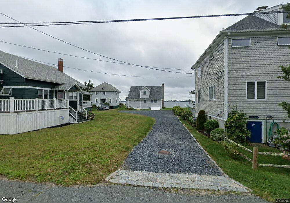
60 Wenaumet Bluff Dr Pocasset, MA 02559
Pocasset NeighborhoodEstimated Value: $855,000 - $1,512,000
3
Beds
2
Baths
1,218
Sq Ft
$988/Sq Ft
Est. Value
About This Home
This home is located at 60 Wenaumet Bluff Dr, Pocasset, MA 02559 and is currently estimated at $1,203,694, approximately $988 per square foot. 60 Wenaumet Bluff Dr is a home located in Barnstable County with nearby schools including Bourne High School and Cadence Academy Preschool - Bourne.
Ownership History
Date
Name
Owned For
Owner Type
Purchase Details
Closed on
May 11, 2023
Sold by
Wayne Thomas Keith Ret and Keith
Bought by
Keith Whitney S
Current Estimated Value
Purchase Details
Closed on
Nov 30, 2004
Sold by
Keith Wayne T
Bought by
Wayne T Keith Ret and Keith
Purchase Details
Closed on
Mar 8, 1999
Sold by
Keith Wayne T and Keith Preston B
Bought by
Keith Wayne T
Create a Home Valuation Report for This Property
The Home Valuation Report is an in-depth analysis detailing your home's value as well as a comparison with similar homes in the area
Home Values in the Area
Average Home Value in this Area
Purchase History
| Date | Buyer | Sale Price | Title Company |
|---|---|---|---|
| Keith Whitney S | -- | None Available | |
| Keith Whitney S | -- | None Available | |
| Wayne T Keith Ret | -- | -- | |
| Wayne T Keith Ret | -- | -- | |
| Keith Wayne T | $296,000 | -- | |
| Keith Wayne T | $296,000 | -- |
Source: Public Records
Tax History Compared to Growth
Tax History
| Year | Tax Paid | Tax Assessment Tax Assessment Total Assessment is a certain percentage of the fair market value that is determined by local assessors to be the total taxable value of land and additions on the property. | Land | Improvement |
|---|---|---|---|---|
| 2025 | $10,224 | $1,309,100 | $1,076,500 | $232,600 |
| 2024 | $9,999 | $1,246,700 | $1,025,200 | $221,500 |
| 2023 | $9,720 | $1,103,300 | $907,300 | $196,000 |
| 2022 | $9,671 | $958,500 | $802,900 | $155,600 |
| 2021 | $9,723 | $902,800 | $761,200 | $141,600 |
| 2020 | $9,480 | $882,700 | $753,900 | $128,800 |
| 2019 | $9,200 | $875,400 | $753,900 | $121,500 |
| 2018 | $8,789 | $833,900 | $718,100 | $115,800 |
| 2017 | $8,507 | $825,900 | $711,300 | $114,600 |
| 2016 | $8,047 | $792,000 | $694,300 | $97,700 |
| 2015 | $7,516 | $746,400 | $648,700 | $97,700 |
Source: Public Records
Map
Nearby Homes
- 62 Wenaumet Bluff Dr
- 66 Wenaumet Bluff Dr
- 54 Fairview Rd
- 58 Wenaumet Bluff Dr
- 56 Fairview Rd
- 56 Fairview Rd
- 50 Fairview Rd
- 54 Wenaumet Bluff Dr
- 50 Wenaumet Bluff Dr
- 29 Buena Vista Rd
- 63 Wenaumet Bluff Dr
- 59 Wenaumet Bluff Dr
- 61 Wenaumet Bluff Dr
- 42 Fairview Rd
- 55 Wenaumet Bluff Dr
- 55 Fairview Rd
- 44 Wenaumet Bluff Dr
- 28 Spurr Rd
- 42 Fairview Rd
- 42 Fairview Rd