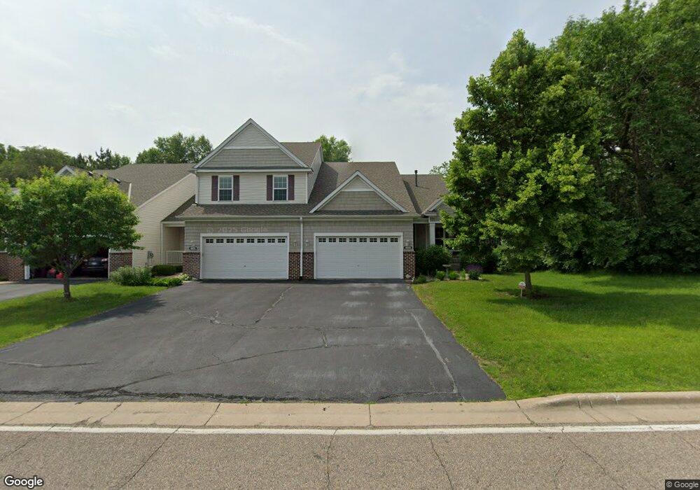
600 10th St S Buffalo, MN 55313
Estimated Value: $299,000 - $389,000
4
Beds
3
Baths
1,546
Sq Ft
$221/Sq Ft
Est. Value
About This Home
This home is located at 600 10th St S, Buffalo, MN 55313 and is currently estimated at $341,241, approximately $220 per square foot. 600 10th St S is a home located in Wright County with nearby schools including Parkside Elementary School, Buffalo Community Middle School, and Buffalo Senior High School.
Ownership History
Date
Name
Owned For
Owner Type
Purchase Details
Closed on
May 20, 2015
Sold by
Miller William William
Bought by
Cook William William
Current Estimated Value
Purchase Details
Closed on
Apr 1, 2011
Sold by
Rissinger Patricia L
Bought by
Miller William and Miller Melodie M
Purchase Details
Closed on
Jan 5, 2006
Sold by
Centex Homes Minnesota Division
Bought by
Rissinger Patricia L
Create a Home Valuation Report for This Property
The Home Valuation Report is an in-depth analysis detailing your home's value as well as a comparison with similar homes in the area
Home Values in the Area
Average Home Value in this Area
Purchase History
| Date | Buyer | Sale Price | Title Company |
|---|---|---|---|
| Cook William William | $249,300 | -- | |
| Miller William | $205,000 | -- | |
| Rissinger Patricia L | -- | -- |
Source: Public Records
Tax History
| Year | Tax Paid | Tax Assessment Tax Assessment Total Assessment is a certain percentage of the fair market value that is determined by local assessors to be the total taxable value of land and additions on the property. | Land | Improvement |
|---|---|---|---|---|
| 2025 | $3,938 | $333,900 | $30,000 | $303,900 |
| 2024 | $4,146 | $323,400 | $30,000 | $293,400 |
| 2023 | $4,102 | $347,600 | $40,000 | $307,600 |
| 2022 | $4,366 | $320,400 | $40,000 | $280,400 |
| 2021 | $4,332 | $304,700 | $40,000 | $264,700 |
| 2020 | $4,138 | $297,300 | $40,000 | $257,300 |
| 2019 | $3,704 | $276,600 | $0 | $0 |
| 2018 | $3,434 | $250,800 | $0 | $0 |
| 2017 | $3,316 | $232,100 | $0 | $0 |
| 2016 | $3,242 | $0 | $0 | $0 |
| 2015 | $2,930 | $0 | $0 | $0 |
| 2014 | -- | $0 | $0 | $0 |
Source: Public Records
Map
Nearby Homes
- 801 Hopkins Ln
- 905 Harvest Trail
- 703 Erickson Ln
- 907 Harvest Trail
- 910 Harvest Trail
- 912 Harvest Trail
- 911 Harvest Trail
- 915 Harvest Trail
- 609 Lake Blvd S
- 517 Buffalo Run Rd
- 335 Creekside Dr
- 705 4th St S
- 406 4th St S
- 316 Creekside Dr
- 308 Creekside Dr
- 200 6th Ave S
- 1801 3rd Ave SW
- 1611 10th St NE
- 1910 Buffalo Run Rd
- 202 Lake Blvd S
- 600 10th St S
- 604 10th St S
- 600 600 10th-Street-s
- 606 10th St S
- 606 10th St S Unit 2603
- 608 10th St S
- 610 10th St S
- 619 10th St S
- 619 10th St S Unit 2801
- 623 10th St S
- 621 10th St S
- 621 10th St S Unit 2802
- 701 10th St S
- 701 10th St S
- 617 10th St S
- 703 10th St S
- 613 10th St S
- 613 10th St S Unit 2901
- 705 10th St S
- 713 Willow Glen Dr
Your Personal Tour Guide
Ask me questions while you tour the home.