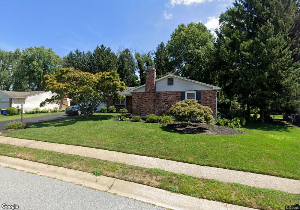
600 Cambridge Dr Newark, DE 19711
Estimated Value: $498,481 - $585,000
3
Beds
3
Baths
1,936
Sq Ft
$271/Sq Ft
Est. Value
About This Home
This home is located at 600 Cambridge Dr, Newark, DE 19711 and is currently estimated at $525,120, approximately $271 per square foot. 600 Cambridge Dr is a home located in New Castle County with nearby schools including Downes (John R.) Elementary School, Shue-Medill Middle School, and Newark High School.
Ownership History
Date
Name
Owned For
Owner Type
Purchase Details
Closed on
Apr 19, 2013
Sold by
Craig Timothy D and Craig Susan L
Bought by
Macdonald David M and Macdonald Dawne J
Current Estimated Value
Home Financials for this Owner
Home Financials are based on the most recent Mortgage that was taken out on this home.
Original Mortgage
$21,800
Outstanding Balance
$15,423
Interest Rate
3.52%
Mortgage Type
New Conventional
Estimated Equity
$509,697
Purchase Details
Closed on
Aug 22, 2003
Sold by
Fischer Nicholas A and Fischer Karen K
Bought by
Craig Timothy D and Craig Susan L
Home Financials for this Owner
Home Financials are based on the most recent Mortgage that was taken out on this home.
Original Mortgage
$75,000
Interest Rate
3.99%
Mortgage Type
Purchase Money Mortgage
Create a Home Valuation Report for This Property
The Home Valuation Report is an in-depth analysis detailing your home's value as well as a comparison with similar homes in the area
Home Values in the Area
Average Home Value in this Area
Purchase History
| Date | Buyer | Sale Price | Title Company |
|---|---|---|---|
| Macdonald David M | $263,500 | None Available | |
| Craig Timothy D | $212,000 | -- |
Source: Public Records
Mortgage History
| Date | Status | Borrower | Loan Amount |
|---|---|---|---|
| Open | Macdonald David M | $21,800 | |
| Previous Owner | Craig Timothy D | $75,000 |
Source: Public Records
Tax History Compared to Growth
Tax History
| Year | Tax Paid | Tax Assessment Tax Assessment Total Assessment is a certain percentage of the fair market value that is determined by local assessors to be the total taxable value of land and additions on the property. | Land | Improvement |
|---|---|---|---|---|
| 2024 | $914 | $86,600 | $13,400 | $73,200 |
| 2023 | $3,131 | $86,600 | $13,400 | $73,200 |
| 2022 | $3,098 | $86,600 | $13,400 | $73,200 |
| 2021 | $3,019 | $86,600 | $13,400 | $73,200 |
| 2020 | $2,932 | $86,600 | $13,400 | $73,200 |
| 2019 | $2,570 | $86,600 | $13,400 | $73,200 |
| 2018 | $2,511 | $86,600 | $13,400 | $73,200 |
| 2017 | $2,436 | $86,600 | $13,400 | $73,200 |
| 2016 | $2,429 | $86,600 | $13,400 | $73,200 |
| 2015 | $2,178 | $86,600 | $13,400 | $73,200 |
| 2014 | $86 | $86,600 | $13,400 | $73,200 |
Source: Public Records
Map
Nearby Homes
- 602 Cambridge Dr
- 421 Locust Dr
- 425 Locust Dr
- 200 Wilshire Ln
- 604 Cambridge Dr
- 504 Cambridge Dr
- 603 Cambridge Dr
- 422 Locust Dr
- 115 Locust Dr
- 201 Wilshire Ln
- 420 Locust Dr
- 424 Locust Dr
- 201 Hanover Place
- 606 Cambridge Dr
- 502 Cambridge Dr
- 113 Locust Dr
- 203 Wilshire Ln
- 112 Locust Dr
- 203 Hanover Place
- 503 Cambridge Dr