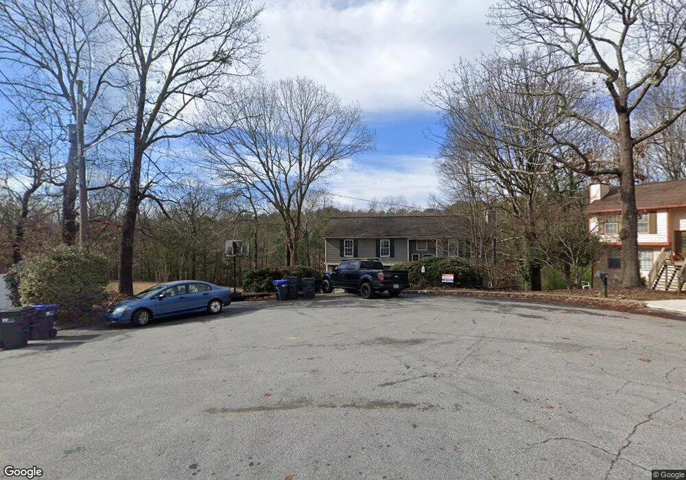
600 Carrolls Way Sugar Hill, GA 30518
Estimated Value: $363,000 - $394,000
3
Beds
2
Baths
1,445
Sq Ft
$260/Sq Ft
Est. Value
About This Home
This home is located at 600 Carrolls Way, Sugar Hill, GA 30518 and is currently estimated at $375,083, approximately $259 per square foot. 600 Carrolls Way is a home located in Gwinnett County with nearby schools including Sugar Hill Elementary School, Lanier Middle School, and Lanier High School.
Ownership History
Date
Name
Owned For
Owner Type
Purchase Details
Closed on
May 17, 2011
Sold by
Irish George G
Bought by
Irish George G and Rosa Vilma
Current Estimated Value
Home Financials for this Owner
Home Financials are based on the most recent Mortgage that was taken out on this home.
Original Mortgage
$109,160
Outstanding Balance
$74,400
Interest Rate
4.62%
Mortgage Type
FHA
Estimated Equity
$300,683
Purchase Details
Closed on
Sep 4, 2008
Sold by
Henry Family Ents
Bought by
Henry J C J and Henry Doris
Create a Home Valuation Report for This Property
The Home Valuation Report is an in-depth analysis detailing your home's value as well as a comparison with similar homes in the area
Home Values in the Area
Average Home Value in this Area
Purchase History
| Date | Buyer | Sale Price | Title Company |
|---|---|---|---|
| Irish George G | $112,000 | -- | |
| Irish George G | $112,000 | -- | |
| Marion Ruth A | -- | -- | |
| Henry J C J | -- | -- |
Source: Public Records
Mortgage History
| Date | Status | Borrower | Loan Amount |
|---|---|---|---|
| Open | Marion Ruth A | $109,160 |
Source: Public Records
Tax History Compared to Growth
Tax History
| Year | Tax Paid | Tax Assessment Tax Assessment Total Assessment is a certain percentage of the fair market value that is determined by local assessors to be the total taxable value of land and additions on the property. | Land | Improvement |
|---|---|---|---|---|
| 2025 | $975 | $128,280 | $28,000 | $100,280 |
| 2024 | $973 | $128,240 | $27,600 | $100,640 |
| 2023 | $973 | $132,320 | $22,000 | $110,320 |
| 2022 | $932 | $104,880 | $22,000 | $82,880 |
| 2021 | $920 | $89,280 | $17,600 | $71,680 |
| 2020 | $2,401 | $69,920 | $14,000 | $55,920 |
| 2019 | $2,016 | $55,200 | $8,800 | $46,400 |
| 2018 | $2,013 | $55,200 | $8,800 | $46,400 |
| 2016 | $1,953 | $52,160 | $8,800 | $43,360 |
| 2015 | $1,732 | $45,440 | $8,800 | $36,640 |
| 2014 | -- | $40,240 | $8,800 | $31,440 |
Source: Public Records
Map
Nearby Homes
- 4209 Tifton Ln
- 5428 Howington Ct Unit 186
- 5440 Howington Ct Unit 190
- 707 Dodd Trail Unit 164
- 4275 Westbrook Rd
- 617 Millcroft Blvd
- 4310 Woodward Walk Ln
- 4273 Winslow Hill Ct
- 5422 Howington Ct Unit 183
- 4247 Millcroft Place Unit 201
- 4217 Heisenberg Ln
- 4912 Molder Ave Unit 66
- 4450 Woodward Walk Ln
- 4231 Millcroft Place Unit 207
- 4223 Millcroft Place Unit 211
- 4154 Hawking Dr
- 4920 Molder Ave Unit 62
- The Glendale Plan at Millcroft - Townhomes
- The Stockton Plan at Millcroft - The Classic Collection
- 4186 Terrace Oaks Ct
- 600 Carrolls Way
- 610 Carrolls Way Unit 2
- 601 Carrolls Way
- 620 Carrolls Way
- 611 Carrolls Way Unit 2
- 630 Carrolls Way
- 621 Carrolls Way
- 611 Alma Ct
- 601 Alma Ct
- 640 Carrolls Way
- 0 Carrolls Way
- 0 Alma Ct Unit 7214444
- 621 Alma Ct
- 631 Carrolls Way
- 650 Carrolls Way
- 641 Carrolls Way Unit 2
- 631 Alma Ct Unit 2
- 614 Buford Hwy
- 651 Carrolls Way
- 4400 Woodward Mill Rd