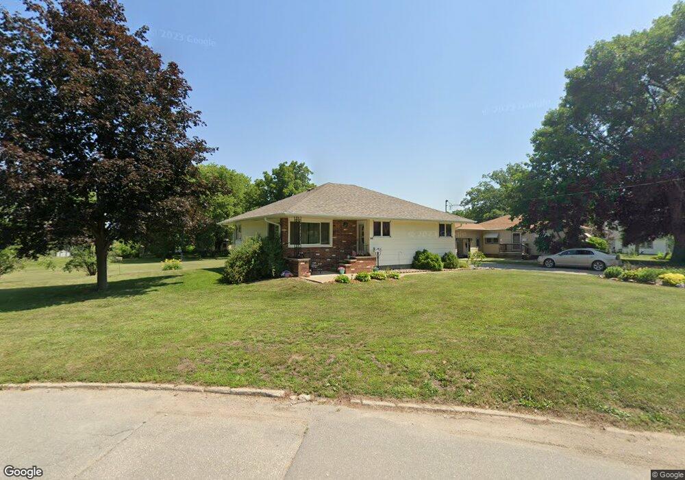
600 Chautauqua Ave Colfax, IA 50054
Estimated Value: $152,000 - $202,000
2
Beds
1
Bath
1,024
Sq Ft
$182/Sq Ft
Est. Value
About This Home
This home is located at 600 Chautauqua Ave, Colfax, IA 50054 and is currently estimated at $186,651, approximately $182 per square foot. 600 Chautauqua Ave is a home located in Jasper County with nearby schools including Colfax-Mingo Elementary School and Colfax-Mingo High School.
Ownership History
Date
Name
Owned For
Owner Type
Purchase Details
Closed on
Sep 30, 2010
Sold by
Estate Of Frieda E Teed
Bought by
Dalton Jill R
Current Estimated Value
Home Financials for this Owner
Home Financials are based on the most recent Mortgage that was taken out on this home.
Original Mortgage
$92,800
Outstanding Balance
$60,957
Interest Rate
4.26%
Mortgage Type
New Conventional
Estimated Equity
$125,694
Create a Home Valuation Report for This Property
The Home Valuation Report is an in-depth analysis detailing your home's value as well as a comparison with similar homes in the area
Home Values in the Area
Average Home Value in this Area
Purchase History
| Date | Buyer | Sale Price | Title Company |
|---|---|---|---|
| Dalton Jill R | $65,000 | None Available |
Source: Public Records
Mortgage History
| Date | Status | Borrower | Loan Amount |
|---|---|---|---|
| Open | Dalton Jill R | $92,800 |
Source: Public Records
Tax History Compared to Growth
Tax History
| Year | Tax Paid | Tax Assessment Tax Assessment Total Assessment is a certain percentage of the fair market value that is determined by local assessors to be the total taxable value of land and additions on the property. | Land | Improvement |
|---|---|---|---|---|
| 2025 | $3,036 | $179,460 | $34,860 | $144,600 |
| 2024 | $3,036 | $169,710 | $34,860 | $134,850 |
| 2023 | $3,052 | $169,710 | $34,860 | $134,850 |
| 2022 | $2,708 | $141,060 | $34,860 | $106,200 |
| 2021 | $2,452 | $129,560 | $34,860 | $94,700 |
| 2020 | $2,452 | $111,340 | $19,510 | $91,830 |
| 2019 | $2,272 | $98,670 | $0 | $0 |
| 2018 | $2,272 | $98,670 | $0 | $0 |
| 2017 | $2,242 | $98,670 | $0 | $0 |
| 2016 | $2,242 | $98,670 | $0 | $0 |
| 2015 | $2,224 | $98,670 | $0 | $0 |
| 2014 | $2,118 | $98,670 | $0 | $0 |
Source: Public Records
Map
Nearby Homes
- 400 S Goodrich St
- 520 S Oak Park Ave
- 624 S Goodrich St
- 226 S Iowa St
- 20 S Oak Park Ave
- 655 E Division St
- 222 E Broadway St
- 0000 Lincoln St
- 34 E Broadway St
- 200 Jefferson St
- 108 S Walnut St
- 1161 S Goodrich St
- 300 E Front St
- 119 W Washington St
- 215 W Spring St
- 223 W Broadway St
- 108 N West St
- 501 W Broadway St
- 11213 Orchard Ave
- HWY 117 at Intersection of Fleet Ave
- 610 Lake St
- 425 Laramie St
- 450 S Goodrich St
- 414 Laramie St
- 521 Chautauqua Ave
- 430 S Goodrich St
- 510 S Goodrich St
- TBD Laramie St
- 1076 S Goodrich St
- 0 S Goodrich St
- 519 Chautauqua Ave
- 440 Laramie St
- 509 S Goodrich St
- 588 S Goodrich St
- 517 Chautauqua Ave
- 619 Lake St
- 404 Laramie St
- 516 Chautauqua Ave
- 405 Laramie St
- 513 Chautauqua Ave