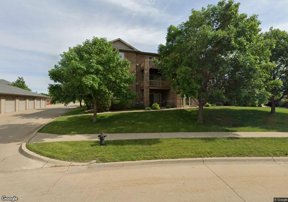
600 Colton Cir NE Unit 1 Cedar Rapids, IA 52402
Estimated Value: $114,898 - $121,000
2
Beds
1
Bath
922
Sq Ft
$127/Sq Ft
Est. Value
About This Home
This home is located at 600 Colton Cir NE Unit 1, Cedar Rapids, IA 52402 and is currently estimated at $117,475, approximately $127 per square foot. 600 Colton Cir NE Unit 1 is a home located in Linn County with nearby schools including Westfield Elementary School, Oak Ridge School, and Linn-Mar High School.
Ownership History
Date
Name
Owned For
Owner Type
Purchase Details
Closed on
Sep 18, 2023
Sold by
Saucer Logan Daniel and Saucer Janelle Marie
Bought by
Saucer Logan Daniel and Fischels Janelle Marie
Current Estimated Value
Purchase Details
Closed on
Apr 1, 2004
Sold by
Oak Valley Partners Llc
Bought by
Zmoos Karen R
Create a Home Valuation Report for This Property
The Home Valuation Report is an in-depth analysis detailing your home's value as well as a comparison with similar homes in the area
Home Values in the Area
Average Home Value in this Area
Purchase History
| Date | Buyer | Sale Price | Title Company |
|---|---|---|---|
| Saucer Logan Daniel | -- | None Listed On Document | |
| Saucer Logan Daniel | -- | None Listed On Document | |
| Zmoos Karen R | $87,000 | -- |
Source: Public Records
Tax History Compared to Growth
Tax History
| Year | Tax Paid | Tax Assessment Tax Assessment Total Assessment is a certain percentage of the fair market value that is determined by local assessors to be the total taxable value of land and additions on the property. | Land | Improvement |
|---|---|---|---|---|
| 2025 | $2,204 | $113,400 | $17,000 | $96,400 |
| 2024 | $2,134 | $112,500 | $17,000 | $95,500 |
| 2023 | $2,134 | $112,500 | $17,000 | $95,500 |
| 2022 | $1,912 | $93,400 | $14,000 | $79,400 |
| 2021 | $2,002 | $86,400 | $12,000 | $74,400 |
| 2020 | $2,002 | $85,300 | $12,000 | $73,300 |
| 2019 | $1,822 | $78,400 | $12,000 | $66,400 |
| 2018 | $1,664 | $78,400 | $12,000 | $66,400 |
| 2017 | $1,744 | $78,000 | $7,500 | $70,500 |
| 2016 | $1,744 | $78,000 | $7,500 | $70,500 |
| 2015 | $1,792 | $80,013 | $7,500 | $72,513 |
| 2014 | $1,792 | $80,013 | $7,500 | $72,513 |
| 2013 | $1,732 | $80,013 | $7,500 | $72,513 |
Source: Public Records
Map
Nearby Homes
- 803 73rd St NE
- 7415 Pin Tail Dr NE
- 7502 Summerset Ave NE
- 935 74th St NE Unit 1
- 7599 Summerset Ave NE
- 316 Sussex Dr NE
- 733 Broderick Dr NE Unit B
- 1055 74th St NE Unit 1055
- 7320 Hampshire Dr NE
- 7104 Doubletree Rd NE
- 7701 Westfield Dr NE
- 1008 Doubletree Ct NE Unit 1008
- 6965 Doubletree Rd NE Unit 6965
- 1229 Honey Creek Way NE
- 1241 74th St NE Unit 1241
- 1027 Acacia Dr NE
- 342 Cambridge Dr NE
- 7128 Summerland Ridge Rd NE
- 929 Messina Dr NE
- 1226 Prairieview Dr NE
- 600 Colton Cir NE
- 600 Colton Cir NE Unit C10
- 600 Colton Cir NE Unit C9
- 600 Colton Cir NE Unit C8
- 600 Colton Cir NE Unit C7
- 600 Colton Cir NE Unit C6
- 600 Colton Cir NE Unit C5
- 600 Colton Cir NE
- 600 Colton Cir NE Unit C3
- 600 Colton Cir NE
- 600 Colton Cir NE Unit C12
- 600 Colton Cir NE Unit 8
- 600 Colton Cir NE Unit 5
- 600 Colton Cir NE Unit 2
- 600 Colton Cir NE Unit 11
- 600 Colton Cir NE Unit 9
- 600 Colton Cir NE Unit 3
- 600 Colton Cir NE
- 420 Colton Cir NE Unit C-3
- 420 Colton Cir NE