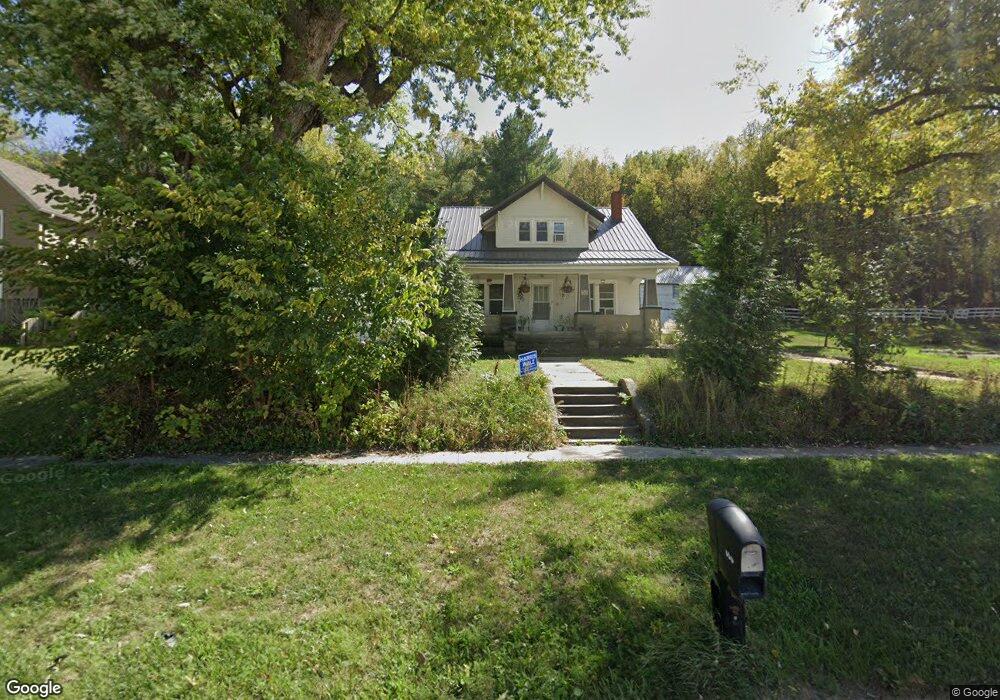
600 High St NE Elkader, IA 52043
Estimated Value: $134,000 - $179,051
3
Beds
1
Bath
1,259
Sq Ft
$120/Sq Ft
Est. Value
About This Home
This home is located at 600 High St NE, Elkader, IA 52043 and is currently estimated at $151,513, approximately $120 per square foot. 600 High St NE is a home located in Clayton County with nearby schools including Central Elementary School and Central Middle School/High School.
Ownership History
Date
Name
Owned For
Owner Type
Purchase Details
Closed on
Apr 10, 2006
Sold by
Best Carlys V
Bought by
Lutz Dan and Lutz Gayle
Current Estimated Value
Purchase Details
Closed on
Apr 5, 2006
Sold by
Best Dale
Bought by
Lutz Dan and Lutz Gayle
Create a Home Valuation Report for This Property
The Home Valuation Report is an in-depth analysis detailing your home's value as well as a comparison with similar homes in the area
Home Values in the Area
Average Home Value in this Area
Purchase History
| Date | Buyer | Sale Price | Title Company |
|---|---|---|---|
| Lutz Dan | -- | None Available | |
| Lutz Dan | $64,000 | None Available |
Source: Public Records
Tax History Compared to Growth
Tax History
| Year | Tax Paid | Tax Assessment Tax Assessment Total Assessment is a certain percentage of the fair market value that is determined by local assessors to be the total taxable value of land and additions on the property. | Land | Improvement |
|---|---|---|---|---|
| 2025 | $2,330 | $122,793 | $25,771 | $97,022 |
| 2024 | $2,114 | $103,474 | $22,409 | $81,065 |
| 2023 | $1,952 | $103,474 | $22,409 | $81,065 |
| 2022 | $1,806 | $83,665 | $20,372 | $63,293 |
| 2021 | $1,588 | $83,665 | $20,372 | $63,293 |
| 2020 | $1,588 | $77,272 | $20,372 | $56,900 |
| 2019 | $1,450 | $77,272 | $20,372 | $56,900 |
| 2018 | $1,450 | $72,635 | $20,372 | $52,263 |
| 2017 | $1,498 | $72,635 | $20,372 | $52,263 |
| 2015 | $1,100 | $48,005 | $21,896 | $26,109 |
| 2014 | $1,036 | $48,005 | $21,896 | $26,109 |
Source: Public Records
Map
Nearby Homes
- 302 N 3rd St
- 702 N Main St
- 0 E Bridge St
- 707 N Main St
- 301 N 1st St
- 117 S Main St
- 209 2nd St SW
- 710 Woodland Dr NW
- 247 Franzen Ridge Rd
- 249 Franzen Ridge Rd
- 27766 Highway 13
- 0 13 Hwy Unit NBR20255145
- 27455 Harbor Rd
- 14149 Iowa 56
- 0 Grandview Rd
- TBD Country Rd
- 305 S Russell St
- TBD Birch Rd
- 108 Adams Ct
- 306 S Monroe St