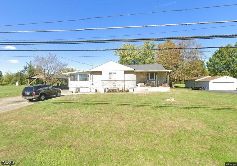
600 Hilock Rd Columbus, OH 43207
Obetz-Lockbourne NeighborhoodEstimated Value: $234,000 - $265,715
3
Beds
1
Bath
1,940
Sq Ft
$128/Sq Ft
Est. Value
About This Home
This home is located at 600 Hilock Rd, Columbus, OH 43207 and is currently estimated at $247,929, approximately $127 per square foot. 600 Hilock Rd is a home located in Franklin County with nearby schools including Parsons Elementary School, Buckeye Middle School, and Marion-Franklin High School.
Ownership History
Date
Name
Owned For
Owner Type
Purchase Details
Closed on
Dec 17, 2018
Sold by
Poar Dorothy E
Bought by
Poar Scottie W
Current Estimated Value
Home Financials for this Owner
Home Financials are based on the most recent Mortgage that was taken out on this home.
Original Mortgage
$72,800
Outstanding Balance
$63,768
Interest Rate
4.9%
Mortgage Type
New Conventional
Estimated Equity
$184,161
Purchase Details
Closed on
May 30, 2013
Sold by
Poar Arnold J
Bought by
Municipal Tax Property Llc
Purchase Details
Closed on
May 10, 1973
Bought by
Poar Arnold J
Create a Home Valuation Report for This Property
The Home Valuation Report is an in-depth analysis detailing your home's value as well as a comparison with similar homes in the area
Home Values in the Area
Average Home Value in this Area
Purchase History
| Date | Buyer | Sale Price | Title Company |
|---|---|---|---|
| Poar Scottie W | $91,000 | None Available | |
| Municipal Tax Property Llc | $9,819 | None Available | |
| Poar Arnold J | -- | -- |
Source: Public Records
Mortgage History
| Date | Status | Borrower | Loan Amount |
|---|---|---|---|
| Open | Poar Scottie W | $72,800 |
Source: Public Records
Tax History
| Year | Tax Paid | Tax Assessment Tax Assessment Total Assessment is a certain percentage of the fair market value that is determined by local assessors to be the total taxable value of land and additions on the property. | Land | Improvement |
|---|---|---|---|---|
| 2025 | $3,966 | $88,380 | $24,190 | $64,190 |
| 2024 | $3,966 | $88,380 | $24,190 | $64,190 |
| 2023 | $3,916 | $88,375 | $24,185 | $64,190 |
| 2022 | $2,821 | $54,400 | $20,550 | $33,850 |
| 2021 | $2,826 | $54,400 | $20,550 | $33,850 |
| 2020 | $2,846 | $54,400 | $20,550 | $33,850 |
| 2019 | $2,880 | $47,470 | $17,890 | $29,580 |
| 2018 | $2,394 | $46,870 | $17,890 | $28,980 |
| 2017 | $2,914 | $46,870 | $17,890 | $28,980 |
| 2016 | $2,150 | $32,450 | $4,620 | $27,830 |
| 2015 | $1,951 | $32,450 | $4,620 | $27,830 |
| 2014 | $1,956 | $32,450 | $4,620 | $27,830 |
| 2013 | $1,016 | $34,160 | $4,865 | $29,295 |
Source: Public Records
Map
Nearby Homes
- 1633-1635 E Greenway Ave
- 3234 E Ave
- 780 Basswood Rd
- 3251 Hilock Ct
- 460 Coulter Ave
- 3302 Hilock Place
- 445 Basswood Rd
- 691 Colton Rd
- 3127 Parsons Ave
- 884 Bruckner Rd
- 3325 Parsons Ave
- 3204 Lee Ellen Place
- 228 Currier Dr
- 0 Williams Rd
- 256 Rumsey Rd Unit 258
- 1138 Hilock Rd Unit 35
- 211 Delaney Dr
- 1124 Rumsey Rd
- 3458 S 8th St
- 525 Ashwood Rd
Your Personal Tour Guide
Ask me questions while you tour the home.