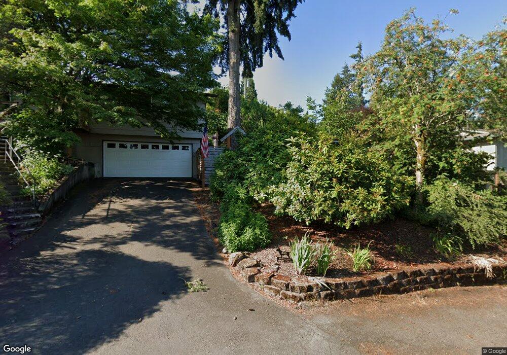
600 Horizon Rd Eugene, OR 97405
Crest Drive NeighborhoodEstimated Value: $1,104,635 - $1,202,000
5
Beds
4
Baths
4,669
Sq Ft
$248/Sq Ft
Est. Value
About This Home
This home is located at 600 Horizon Rd, Eugene, OR 97405 and is currently estimated at $1,157,878, approximately $247 per square foot. 600 Horizon Rd is a home located in Lane County with nearby schools including Adams Elementary School, Spencer Butte Middle School, and South Eugene High School.
Ownership History
Date
Name
Owned For
Owner Type
Purchase Details
Closed on
May 15, 2025
Sold by
Long Stanton F and Long Rosemary
Bought by
Stanton And Rosemary Long Trust and Long
Current Estimated Value
Purchase Details
Closed on
Jun 9, 2014
Sold by
Long Stanton F and Long Rosemary
Bought by
Miko Jonathon and Miko Melinda
Purchase Details
Closed on
Sep 26, 2008
Sold by
Bennion Fred H and Bennion Patricia A
Bought by
Bennion Fred H and Bennion Patricia A
Home Financials for this Owner
Home Financials are based on the most recent Mortgage that was taken out on this home.
Original Mortgage
$445,000
Interest Rate
5.75%
Mortgage Type
New Conventional
Purchase Details
Closed on
May 12, 1999
Sold by
Bennion Patricia R
Bought by
Bennion Fred H and Bennion Patricia R
Home Financials for this Owner
Home Financials are based on the most recent Mortgage that was taken out on this home.
Original Mortgage
$104,000
Interest Rate
6.94%
Create a Home Valuation Report for This Property
The Home Valuation Report is an in-depth analysis detailing your home's value as well as a comparison with similar homes in the area
Home Values in the Area
Average Home Value in this Area
Purchase History
| Date | Buyer | Sale Price | Title Company |
|---|---|---|---|
| Stanton And Rosemary Long Trust | -- | Cascade Title | |
| Miko Jonathon | $492,000 | Cascade Title Company | |
| Bennion Fred H | -- | Western Title | |
| Bennion Fred H | -- | Evergreen Land Title Co |
Source: Public Records
Mortgage History
| Date | Status | Borrower | Loan Amount |
|---|---|---|---|
| Previous Owner | Bennion Fred H | $445,000 | |
| Previous Owner | Bennion Fred H | $104,000 |
Source: Public Records
Tax History
| Year | Tax Paid | Tax Assessment Tax Assessment Total Assessment is a certain percentage of the fair market value that is determined by local assessors to be the total taxable value of land and additions on the property. | Land | Improvement |
|---|---|---|---|---|
| 2025 | $11,896 | $610,534 | -- | -- |
| 2024 | $11,748 | $592,752 | -- | -- |
| 2023 | $11,748 | $575,488 | -- | -- |
| 2022 | $11,005 | $558,727 | $0 | $0 |
| 2021 | $10,337 | $542,454 | $0 | $0 |
| 2020 | $10,373 | $526,655 | $0 | $0 |
| 2019 | $9,877 | $511,316 | $0 | $0 |
| 2018 | $9,338 | $481,965 | $0 | $0 |
| 2017 | $8,640 | $481,965 | $0 | $0 |
| 2016 | $8,356 | $467,927 | $0 | $0 |
| 2015 | $8,287 | $454,298 | $0 | $0 |
| 2014 | $8,334 | $441,066 | $0 | $0 |
Source: Public Records
Map
Nearby Homes
- 605 Fulvue Dr
- 0 Hidden Meadows
- 453 Dellwood Dr
- 3593 Lawrence St
- 357 W 37th Ave
- 1 Storey Blvd
- 2 Storey Blvd
- 3854 Monroe St
- 806 Sundance St
- 3160 Whitten Dr
- 3087 Whitbeck Blvd
- 2965 Olive St
- 275 E 39th Ave
- 865 W 28th Ave
- 4040 Southpointe Dr
- 170 E 40th Ave
- 365 Brae Burn Dr
- 0 Pine View Ct Unit 758820410
- 310 1/2 E 31st Ave Unit 1
- 84 W 27th Ave
Your Personal Tour Guide
Ask me questions while you tour the home.