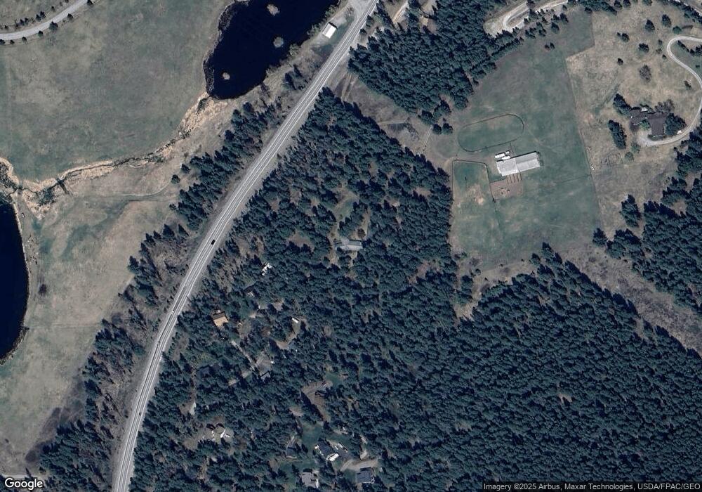
600 Kookoosint Trail Kalispell, MT 59901
Estimated Value: $1,115,000 - $1,709,000
4
Beds
3
Baths
4,885
Sq Ft
$308/Sq Ft
Est. Value
About This Home
This home is located at 600 Kookoosint Trail, Kalispell, MT 59901 and is currently estimated at $1,505,294, approximately $308 per square foot. 600 Kookoosint Trail is a home located in Flathead County with nearby schools including Lillian Peterson School, Kalispell Middle School, and Flathead High School.
Ownership History
Date
Name
Owned For
Owner Type
Purchase Details
Closed on
Apr 16, 2012
Sold by
Morton Robin L
Bought by
Morton Robin L and Robin L Morton Trust
Current Estimated Value
Home Financials for this Owner
Home Financials are based on the most recent Mortgage that was taken out on this home.
Original Mortgage
$198,000
Outstanding Balance
$26,665
Interest Rate
3.84%
Mortgage Type
New Conventional
Estimated Equity
$1,478,629
Purchase Details
Closed on
Mar 21, 2012
Sold by
Robin L Morton Trust
Bought by
Morton Robin L
Home Financials for this Owner
Home Financials are based on the most recent Mortgage that was taken out on this home.
Original Mortgage
$198,000
Outstanding Balance
$26,665
Interest Rate
3.84%
Mortgage Type
New Conventional
Estimated Equity
$1,478,629
Purchase Details
Closed on
Jun 13, 2005
Sold by
Morton Robert L
Bought by
Robin L Morton Trust
Create a Home Valuation Report for This Property
The Home Valuation Report is an in-depth analysis detailing your home's value as well as a comparison with similar homes in the area
Purchase History
| Date | Buyer | Sale Price | Title Company |
|---|---|---|---|
| Morton Robin L | -- | None Available | |
| Morton Robin L | -- | Insured Titles | |
| Robin L Morton Trust | -- | None Available |
Source: Public Records
Mortgage History
| Date | Status | Borrower | Loan Amount |
|---|---|---|---|
| Open | Morton Robin L | $198,000 |
Source: Public Records
Tax History
| Year | Tax Paid | Tax Assessment Tax Assessment Total Assessment is a certain percentage of the fair market value that is determined by local assessors to be the total taxable value of land and additions on the property. | Land | Improvement |
|---|---|---|---|---|
| 2025 | $5,772 | $1,239,434 | $0 | $0 |
| 2024 | $5,746 | $903,501 | $0 | $0 |
| 2023 | $5,721 | $903,501 | $0 | $0 |
| 2022 | $5,735 | $678,203 | $0 | $0 |
| 2021 | $6,015 | $678,203 | $0 | $0 |
| 2020 | $5,722 | $631,747 | $0 | $0 |
| 2019 | $5,730 | $631,747 | $0 | $0 |
| 2018 | $5,174 | $546,906 | $0 | $0 |
| 2017 | $5,198 | $546,906 | $0 | $0 |
| 2016 | $4,447 | $517,006 | $0 | $0 |
| 2015 | $4,521 | $517,006 | $0 | $0 |
| 2014 | $3,953 | $279,754 | $0 | $0 |
Source: Public Records
Map
Nearby Homes
- 192 Glacier Flats Rd
- 76 Meadow Mint Way
- 108 Eagle Crest Ct
- 37 Roybals Way
- TBD Tbd
- 1381 Creekside Ct
- 869 Foys Lake Rd
- 152 Peaks View Loop
- 606 S Foys Lake Dr
- 8 Primrose Ct
- 1027 S View Ln
- 1695 Whalebone Dr
- 106 Rainbow Dr
- 106 Santa fe St
- 305 Bismark St
- 605 Valley View Dr
- 2206 Us Highway 2 W
- 218 Walking Coyote Dr Unit Lot 68
- 261 Windsong Way
- 31 Austin St
- 700 Kookoosint Trail
- 100 Kookoosint Trail
- 710 Kookoosint Trail
- 0 Kookoosint Trail
- NHN Kookoosint Trail
- 720 Kookoosint Trail
- 732 Kookoosint Trail
- 490 Kookoosint Trail
- 125 Kookoosint Trail
- 510 Kookoosint Trail
- 211 Segiah Way
- 208 Segiah Way
- 227 Segiah Way
- 455 Kookoosint Trail
- 231 Segiah Way
- 765 Kookoosint Trail
- 223 Segiah Way
- 180 Kookoosint Trail
- 209 Segiah Way
- 145 Kookoosint Trail
