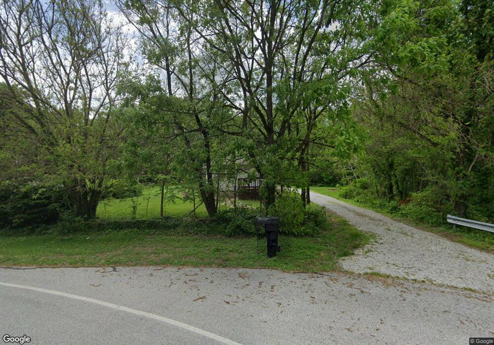
600 Pearson Rd Chesterton, IN 46304
Estimated Value: $184,000 - $251,000
3
Beds
1
Bath
1,904
Sq Ft
$106/Sq Ft
Est. Value
About This Home
This home is located at 600 Pearson Rd, Chesterton, IN 46304 and is currently estimated at $202,293, approximately $106 per square foot. 600 Pearson Rd is a home located in Porter County with nearby schools including Newton Yost Elementary School, Westchester Intermediate School, and Chesterton Middle School.
Ownership History
Date
Name
Owned For
Owner Type
Purchase Details
Closed on
Nov 10, 2008
Sold by
Castro Gabriel
Bought by
Gabriel Castro Jr Revocable Trust
Current Estimated Value
Purchase Details
Closed on
Mar 3, 2006
Sold by
Swenson Catherine L and The Catherine L Swenson Trust
Bought by
Castro Gabriel
Create a Home Valuation Report for This Property
The Home Valuation Report is an in-depth analysis detailing your home's value as well as a comparison with similar homes in the area
Home Values in the Area
Average Home Value in this Area
Purchase History
| Date | Buyer | Sale Price | Title Company |
|---|---|---|---|
| Gabriel Castro Jr Revocable Trust | -- | None Available | |
| Castro Gabriel | -- | The Talon Group |
Source: Public Records
Tax History Compared to Growth
Tax History
| Year | Tax Paid | Tax Assessment Tax Assessment Total Assessment is a certain percentage of the fair market value that is determined by local assessors to be the total taxable value of land and additions on the property. | Land | Improvement |
|---|---|---|---|---|
| 2024 | $3,141 | $147,400 | $37,300 | $110,100 |
| 2023 | $3,021 | $140,700 | $34,500 | $106,200 |
| 2022 | $3,021 | $135,200 | $34,500 | $100,700 |
| 2021 | $3,064 | $137,100 | $34,500 | $102,600 |
| 2020 | $2,797 | $125,100 | $30,000 | $95,100 |
| 2019 | $2,420 | $108,100 | $30,000 | $78,100 |
| 2018 | $2,362 | $105,500 | $30,000 | $75,500 |
| 2017 | $2,178 | $97,200 | $30,000 | $67,200 |
| 2016 | $2,200 | $98,200 | $32,200 | $66,000 |
| 2014 | $1,974 | $88,000 | $29,100 | $58,900 |
| 2013 | -- | $85,300 | $29,700 | $55,600 |
Source: Public Records
Map
Nearby Homes
- 696 Admiral Dr
- 1198 Old Porter Rd
- 1290 Old Porter Rd
- 1346 Essex Dr
- 2009 W Porter Ave
- 1198 N Babcock Rd
- 2114 Tupelo Ln
- 2121 Tupelo Ln
- 1108 Saratoga Ln
- 2111 Tupelo Ln
- 1521 Birdie Way
- 1817 W Porter Ave
- 1807 W Porter Ave
- 606 S 18th St
- 1978 Laura Ln
- 210 Rainbow Dr
- 327 S 18th St
- 1949 David Dr
- 131 N 18th St
- 1440 Duffer Dr
- 606 Pearson Rd
- 1294 Port Cove Dr
- 1282 Port Cove Dr
- 1300 Port Cove Dr
- 1270 Port Cove Dr
- 1334 Port Cove Dr
- 1308 Port Cove Dr
- 601 Pearson Rd
- 1283 Port Cove Dr
- 693 Pearson Rd
- 1331 Old Porter Rd
- 651 Pearson Rd
- 1331 Port Cove Dr
- 702 Admiral Dr
- 703 Pearson Rd
- 1355 Port Cove Dr
- 1337 Port Cove Dr
- 1343 Port Cove Dr
- 1351 Old Porter Rd
- 1301 Old Porter Rd
