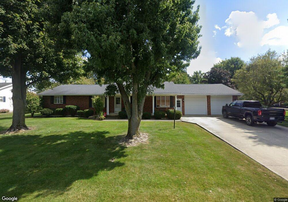
600 Polaris Dr Upper Sandusky, OH 43351
Estimated Value: $303,703 - $416,000
3
Beds
3
Baths
2,271
Sq Ft
$150/Sq Ft
Est. Value
About This Home
This home is located at 600 Polaris Dr, Upper Sandusky, OH 43351 and is currently estimated at $340,926, approximately $150 per square foot. 600 Polaris Dr is a home located in Wyandot County with nearby schools including Upper Sandusky High School and St. Peter Elementary School.
Ownership History
Date
Name
Owned For
Owner Type
Purchase Details
Closed on
May 14, 2012
Sold by
Beeler Robert L and Beeler Charlene L
Bought by
Beeler Charlene L
Current Estimated Value
Home Financials for this Owner
Home Financials are based on the most recent Mortgage that was taken out on this home.
Original Mortgage
$61,000
Interest Rate
2.75%
Mortgage Type
Adjustable Rate Mortgage/ARM
Create a Home Valuation Report for This Property
The Home Valuation Report is an in-depth analysis detailing your home's value as well as a comparison with similar homes in the area
Home Values in the Area
Average Home Value in this Area
Purchase History
| Date | Buyer | Sale Price | Title Company |
|---|---|---|---|
| Beeler Charlene L | -- | None Available |
Source: Public Records
Mortgage History
| Date | Status | Borrower | Loan Amount |
|---|---|---|---|
| Previous Owner | Beeler Charlene L | $61,000 |
Source: Public Records
Tax History Compared to Growth
Tax History
| Year | Tax Paid | Tax Assessment Tax Assessment Total Assessment is a certain percentage of the fair market value that is determined by local assessors to be the total taxable value of land and additions on the property. | Land | Improvement |
|---|---|---|---|---|
| 2024 | $2,822 | $88,710 | $10,010 | $78,700 |
| 2023 | $2,822 | $88,710 | $10,010 | $78,700 |
| 2022 | $2,358 | $70,780 | $8,350 | $62,430 |
| 2021 | $2,358 | $70,780 | $8,350 | $62,430 |
| 2020 | $2,357 | $70,780 | $8,350 | $62,430 |
| 2019 | $2,353 | $70,780 | $8,350 | $62,430 |
| 2018 | $2,193 | $67,210 | $7,570 | $59,640 |
| 2017 | $2,228 | $67,210 | $7,570 | $59,640 |
| 2016 | -- | $67,210 | $7,570 | $59,640 |
| 2015 | -- | $64,840 | $7,570 | $57,270 |
| 2014 | -- | $64,840 | $7,570 | $57,270 |
| 2013 | -- | $64,840 | $7,570 | $57,270 |
Source: Public Records
Map
Nearby Homes
- 606 Polaris Dr
- 324 Keller Ct
- 453 N 7th St
- 386 W Finley St
- 620 Mission Dr
- 230 E Bigelow St
- 334 N 4th St
- 137 N 8th St
- 314 N 4th St
- 116 E Walker St
- 9768 Township Road 111
- 435 Front St
- 225 S Hazel St
- 346 W Hicks St
- 213 E Johnson St
- 326 S 8th St
- 0 State Route 53 & 67 Unit 11165687
- 305 S 5th St
- 430 S Sandusky Ave
- 955 Greenbrier Rd
- 601 Polaris Dr
- 521 Polaris Dr
- 602 Polaris Dr
- 852 Terrace Dr
- 603 Polaris Dr
- 854 Terrace Dr
- 450 Glen Haven Rd Unit PO
- 510 Glen Haven Rd
- 430 Glen Haven Rd
- 856 Terrace Dr
- 530 Glen Haven Rd
- 605 Polaris Dr
- 540 Glen Haven Rd
- 441 Glen Haven Rd
- 550 Glen Haven Rd
- 560 Glen Haven Rd
- 425 Glen Haven Rd
- 491 Glen Haven Rd
- 858 Terrace Dr
- 505 Glen Haven Rd