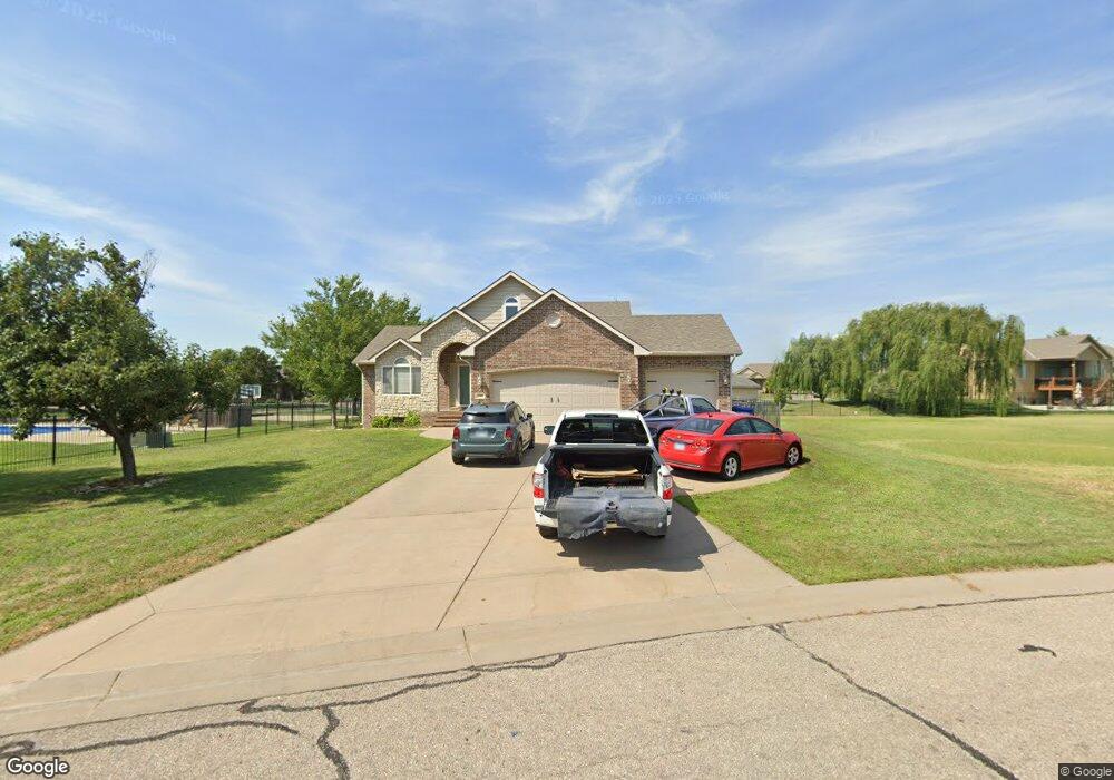
600 Rocky Ridge St Augusta, KS 67010
Estimated Value: $288,000 - $322,000
5
Beds
3
Baths
1,576
Sq Ft
$198/Sq Ft
Est. Value
About This Home
This home is located at 600 Rocky Ridge St, Augusta, KS 67010 and is currently estimated at $311,931, approximately $197 per square foot. 600 Rocky Ridge St is a home located in Butler County with nearby schools including Augusta Senior High School and St. James Catholic School.
Ownership History
Date
Name
Owned For
Owner Type
Purchase Details
Closed on
Jun 7, 2024
Sold by
Burton Daniel K and Burton Michelle L
Bought by
Keyser Travis and Keyser Caitlin
Current Estimated Value
Home Financials for this Owner
Home Financials are based on the most recent Mortgage that was taken out on this home.
Original Mortgage
$285,000
Outstanding Balance
$281,500
Interest Rate
7.22%
Mortgage Type
Credit Line Revolving
Estimated Equity
$30,431
Create a Home Valuation Report for This Property
The Home Valuation Report is an in-depth analysis detailing your home's value as well as a comparison with similar homes in the area
Home Values in the Area
Average Home Value in this Area
Purchase History
| Date | Buyer | Sale Price | Title Company |
|---|---|---|---|
| Keyser Travis | -- | Kansas Secured Title | |
| Keyser Travis | $300,000 | Kansas Secured Title |
Source: Public Records
Mortgage History
| Date | Status | Borrower | Loan Amount |
|---|---|---|---|
| Open | Keyser Travis | $285,000 | |
| Closed | Keyser Travis | $285,000 |
Source: Public Records
Tax History Compared to Growth
Tax History
| Year | Tax Paid | Tax Assessment Tax Assessment Total Assessment is a certain percentage of the fair market value that is determined by local assessors to be the total taxable value of land and additions on the property. | Land | Improvement |
|---|---|---|---|---|
| 2025 | $49 | $35,351 | $2,567 | $32,784 |
| 2024 | $49 | $31,392 | $1,739 | $29,653 |
| 2023 | $4,622 | $29,061 | $1,739 | $27,322 |
| 2022 | $3,828 | $25,880 | $1,739 | $24,141 |
| 2021 | $3,828 | $22,897 | $1,739 | $21,158 |
| 2020 | $3,856 | $22,747 | $1,739 | $21,008 |
| 2019 | $3,828 | $22,184 | $1,739 | $20,445 |
| 2018 | $5,116 | $21,666 | $1,739 | $19,927 |
| 2017 | $4,998 | $21,160 | $1,739 | $19,421 |
| 2014 | -- | $169,250 | $11,400 | $157,850 |
Source: Public Records
Map
Nearby Homes
- 3005 Stone Lake Dr
- 2825 N Rutland Ln
- 3103 Susan St
- 2801 Danbury Rd
- 2823 N Rutland Ln
- 2815 N Rutland Ln
- 2814 N Rutland Ln
- 2809 N Rutland Ln
- 3110 Country Ln
- 2714 Rushwood Dr
- 1032 E Stafford Ct
- 1034 E Stafford Ct
- 2712 Rushwood Dr
- 1028 Bedell Rd
- 416 Country Hills Dr
- 2701 N Mainsgate Dr
- 0 N Ohio Unit SCK649107
- 48 Arnold Dr
- 3305 Colonial Ct
- 814 Rushwood Ct
- 600 E Rocky Ridge St
- 601 Stone Lake Cir
- 603 Stone Lake Cir
- 601 Rocky Ridge St
- 605 Stone Lake Cir
- 3003 Stone Lake Dr
- 600 Stone Gate Cir
- 3001 Stone Lake Dr
- 607 Stone Lake Cir
- 602 Stone Gate Cir
- 600 Stone Lake Cir
- 517 Stone Lake Ct
- 3007 Stone Lake Dr
- 515 Stone Lake Ct
- 604 Stone Gate Cir
- 604 Stone Lake Cir
- 606 Stone Gate Cir
- 508 Stone Lake Ct
- 608 Stone Gate Cir
- 603 Stone Lake Dr