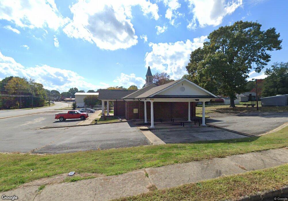
600 S Main St Landis, NC 28088
--
Bed
--
Bath
2,873
Sq Ft
0.55
Acres
About This Home
This home is located at 600 S Main St, Landis, NC 28088. 600 S Main St is a home located in Rowan County with nearby schools including Landis Elementary School, Corriher Lipe Middle School, and South Rowan High School.
Ownership History
Date
Name
Owned For
Owner Type
Purchase Details
Closed on
Jan 28, 2022
Sold by
Rrt-Landis Llc
Bought by
Spark Ventures Llc
Purchase Details
Closed on
Jun 28, 2018
Sold by
Wellsfargo Bank Na
Bought by
Rrt Landis Llc
Home Financials for this Owner
Home Financials are based on the most recent Mortgage that was taken out on this home.
Original Mortgage
$162,000
Interest Rate
4.6%
Mortgage Type
Future Advance Clause Open End Mortgage
Purchase Details
Closed on
Jan 26, 2018
Sold by
Premier Builders & Development Company I
Bought by
Wells Fargo Bank National Association
Create a Home Valuation Report for This Property
The Home Valuation Report is an in-depth analysis detailing your home's value as well as a comparison with similar homes in the area
Home Values in the Area
Average Home Value in this Area
Purchase History
| Date | Buyer | Sale Price | Title Company |
|---|---|---|---|
| Spark Ventures Llc | $265,000 | None Listed On Document | |
| Rrt Landis Llc | $216,000 | None Available | |
| Wells Fargo Bank National Association | $16,900 | None Available |
Source: Public Records
Mortgage History
| Date | Status | Borrower | Loan Amount |
|---|---|---|---|
| Previous Owner | Rrt Landis Llc | $162,000 |
Source: Public Records
Tax History Compared to Growth
Tax History
| Year | Tax Paid | Tax Assessment Tax Assessment Total Assessment is a certain percentage of the fair market value that is determined by local assessors to be the total taxable value of land and additions on the property. | Land | Improvement |
|---|---|---|---|---|
| 2024 | $3,302 | $308,598 | $110,880 | $197,718 |
| 2023 | $3,302 | $308,598 | $110,880 | $197,718 |
| 2022 | $3,049 | $256,797 | $105,600 | $151,197 |
| 2021 | $3,049 | $256,797 | $105,600 | $151,197 |
| 2020 | $3,049 | $256,797 | $105,600 | $151,197 |
| 2019 | $3,049 | $256,797 | $105,600 | $151,197 |
| 2018 | $4,763 | $405,453 | $105,600 | $299,853 |
| 2017 | $4,563 | $405,453 | $105,600 | $299,853 |
| 2016 | $4,563 | $405,453 | $105,600 | $299,853 |
| 2015 | $4,632 | $405,453 | $105,600 | $299,853 |
| 2014 | $4,031 | $356,737 | $44,880 | $311,857 |
Source: Public Records
Map
Nearby Homes
- 703 S Main St
- 00 E Rice St
- 411 S Central Ave
- 211 E Rice St
- 241 E Rice St
- 813 S Zion St
- 401 W Hoke St
- Lot 7 E Rice St
- Lot 8 E Rice St
- 414 E Rice St
- 601 S Chapel St
- 508 E Rice St
- 0 N Chapel St
- 407 W Mill St
- 616 S Main St
- 1109 S Highland Ave
- 210 N Correll St
- 212 N Correll St
- 310 N Central Ave
- 408 E Blume St
- 514 S Main St
- 109 W Round St
- 605 S Zion St Unit 2
- 106 W Round St
- 108 W Round St
- 115 W Round St
- 508 S Main St
- 511 S Zion St
- 511 S Zion St Unit 1
- 110 W 1st St
- 609 S Zion St
- 106 W 1st St
- 0 E Round St
- 509 S Zion St
- 611 S Zion St
- 507 S Zion St
- 504 S Main St
- 615 S Main St
- 0 S Zion St Unit CAR3899731
- 0 S Zion St Unit NULL R48916