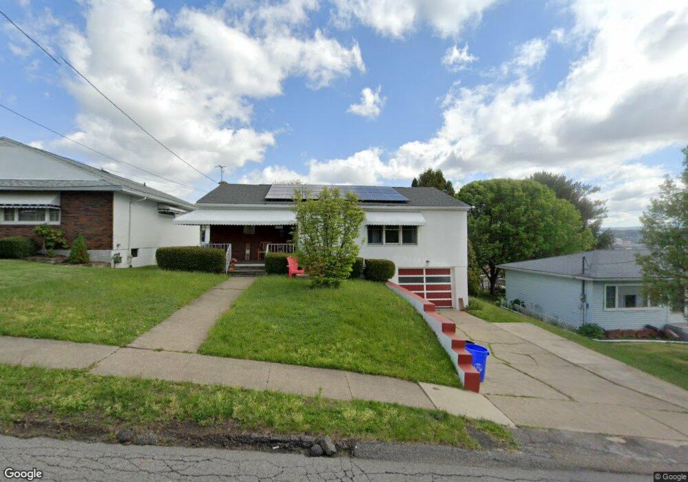
600 W Locust St Scranton, PA 18504
Hyde Park NeighborhoodEstimated Value: $162,000 - $245,000
3
Beds
1
Bath
1,522
Sq Ft
$122/Sq Ft
Est. Value
About This Home
This home is located at 600 W Locust St, Scranton, PA 18504 and is currently estimated at $186,316, approximately $122 per square foot. 600 W Locust St is a home located in Lackawanna County with nearby schools including Frances Willard School, West Scranton Intrmd School, and West Scranton High School.
Ownership History
Date
Name
Owned For
Owner Type
Purchase Details
Closed on
Feb 6, 2018
Sold by
Mccarthy Arthup G
Bought by
Mccarthy Arthur G and Mccarth Morma
Current Estimated Value
Purchase Details
Closed on
Nov 8, 2005
Sold by
Federal National Mortgage Association
Bought by
Mccarthy Arthur G and Mccarthy Mary E
Purchase Details
Closed on
Oct 26, 2005
Sold by
Clifford Kathryn A and Clifford Thomas B
Bought by
Federal National Mortgage Association
Create a Home Valuation Report for This Property
The Home Valuation Report is an in-depth analysis detailing your home's value as well as a comparison with similar homes in the area
Home Values in the Area
Average Home Value in this Area
Purchase History
| Date | Buyer | Sale Price | Title Company |
|---|---|---|---|
| Mccarthy Arthur G | -- | -- | |
| Mccarthy Arthur G | $78,900 | None Available | |
| Federal National Mortgage Association | $1,890 | None Available |
Source: Public Records
Tax History
| Year | Tax Paid | Tax Assessment Tax Assessment Total Assessment is a certain percentage of the fair market value that is determined by local assessors to be the total taxable value of land and additions on the property. | Land | Improvement |
|---|---|---|---|---|
| 2025 | $3,819 | $12,000 | $1,700 | $10,300 |
| 2024 | $3,488 | $12,000 | $1,700 | $10,300 |
| 2023 | $4,357 | $15,300 | $1,700 | $13,600 |
| 2022 | $4,261 | $15,300 | $1,700 | $13,600 |
| 2021 | $4,261 | $15,300 | $1,700 | $13,600 |
| 2020 | $4,178 | $15,300 | $1,700 | $13,600 |
| 2019 | $3,927 | $15,300 | $1,700 | $13,600 |
| 2018 | $3,927 | $15,300 | $1,700 | $13,600 |
| 2017 | $3,855 | $15,300 | $1,700 | $13,600 |
| 2016 | $1,083 | $15,300 | $1,700 | $13,600 |
| 2015 | $2,539 | $15,300 | $1,700 | $13,600 |
| 2014 | -- | $15,300 | $1,700 | $13,600 |
Source: Public Records
Map
Nearby Homes
- 815 S 9th Ave
- 1009 1011 Acker Ave Unit L 109
- 532 Eynon St
- 924 S Main Ave
- 910 Hampton St
- 1010 Eynon St
- 517 519 Luzerne St
- 1250 S 1252 6th
- 1155 W Elm St
- 414 S 416 S Edwards Ct
- 319 S 9th Ave
- 1140 Hampton St
- 401 S Main Ave
- 1158 Hampton St
- 1215 Eynon St
- 1223 Eynon St
- 1134/1136 Luzerne St
- 1127 Rundle St
- 209 S Main Ave
- 1301 Sloan St
- 602 W Locust St
- 598 W Locust St
- 604 W Locust St
- 592 W Locust St
- 619 W Elm St Unit 621
- 701 W Elm St
- 606 W Locust St Unit 608
- 606-608 W Locust St
- 608 W Locust St Unit 1
- 608 W Locust St
- 617 W Elm St
- 615 W Elm St
- 703 W Elm St
- 609 W Locust St
- 588 W Locust St
- 610 W Locust St
- 705 W Elm St
- 619 W 621 Elm St
- 711 W Elm St
- 612 W Locust St
Your Personal Tour Guide
Ask me questions while you tour the home.