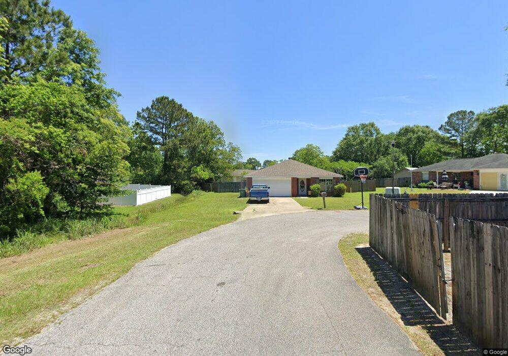
6000 Dove Ln Ocean Springs, MS 39564
Estimated Value: $198,000 - $221,000
3
Beds
2
Baths
1,417
Sq Ft
$149/Sq Ft
Est. Value
About This Home
This home is located at 6000 Dove Ln, Ocean Springs, MS 39564 and is currently estimated at $210,450, approximately $148 per square foot. 6000 Dove Ln is a home located in Jackson County with nearby schools including St Martin East Elementary School, St Martin North Elementary School, and St Martin Upper Elementary School.
Ownership History
Date
Name
Owned For
Owner Type
Purchase Details
Closed on
Sep 2, 2011
Bought by
Porter Sarah D
Current Estimated Value
Home Financials for this Owner
Home Financials are based on the most recent Mortgage that was taken out on this home.
Original Mortgage
$93,264
Outstanding Balance
$64,292
Interest Rate
4.4%
Mortgage Type
Purchase Money Mortgage
Estimated Equity
$146,158
Purchase Details
Closed on
Jun 29, 2011
Sold by
Countrywide Home Loans Servicing Lp
Bought by
Federal Home Loan Mortgage Corporation
Create a Home Valuation Report for This Property
The Home Valuation Report is an in-depth analysis detailing your home's value as well as a comparison with similar homes in the area
Home Values in the Area
Average Home Value in this Area
Purchase History
| Date | Buyer | Sale Price | Title Company |
|---|---|---|---|
| Porter Sarah D | -- | Stewart Title Co Inc | |
| Federal Home Loan Mortgage Corporation | -- | Recontrust Co Na |
Source: Public Records
Mortgage History
| Date | Status | Borrower | Loan Amount |
|---|---|---|---|
| Open | Porter Sarah D | $93,264 |
Source: Public Records
Tax History Compared to Growth
Tax History
| Year | Tax Paid | Tax Assessment Tax Assessment Total Assessment is a certain percentage of the fair market value that is determined by local assessors to be the total taxable value of land and additions on the property. | Land | Improvement |
|---|---|---|---|---|
| 2024 | $1,096 | $11,452 | $2,262 | $9,190 |
| 2023 | $1,096 | $11,452 | $2,262 | $9,190 |
| 2022 | $1,051 | $11,392 | $2,262 | $9,130 |
| 2021 | $1,059 | $11,461 | $2,262 | $9,199 |
| 2020 | $1,003 | $10,580 | $2,114 | $8,466 |
| 2019 | $990 | $10,580 | $2,114 | $8,466 |
| 2018 | $1,014 | $10,580 | $2,114 | $8,466 |
| 2017 | $1,036 | $10,580 | $2,114 | $8,466 |
| 2016 | $984 | $10,580 | $2,114 | $8,466 |
| 2015 | $729 | $84,240 | $21,140 | $63,100 |
| 2014 | $739 | $8,661 | $2,114 | $6,547 |
| 2013 | $623 | $7,955 | $2,114 | $5,841 |
Source: Public Records
Map
Nearby Homes
- 0 Old Fort Bayou Rd
- 7621 Falcon Cir
- 2325 Rhonda Ave
- 7205 Pencarrow Cir
- 6811 Old Fort Bayou Rd
- 12213 Savannah Cir
- 12120 Walker Rd
- 12160 Walker Rd
- 12265 Savannah Cir
- 7732 Claymont Cir
- 12210 Savannah Cir
- 12281 Savannah Cir
- Sycamore IV G Plan at Scarlett Glen
- Hickory III H Plan at Scarlett Glen
- Hickory III G Plan at Scarlett Glen
- Comstock III H Plan at Scarlett Glen
- Comstock III G Plan at Scarlett Glen
- Camellia V H Plan at Scarlett Glen
- Camellia V G Plan at Scarlett Glen
- Falkner III G Plan at Scarlett Glen
- 6001 Dove Ln
- 7217 Cypress Cir
- 7213 Cypress Cir
- 11709 Ravenwood Place
- 11713 Ravenwood Place
- 6005 Dove Ln
- 7209 Cypress Cir
- 11801 Ravenwood Place
- 11705 Ravenwood Place
- 6101 Dove Ln
- 6324 Luckey Ln
- 11809 Ravenwood Place
- 6320 Luckey Ln
- 6321 Luckey Ln
- 7205 Cypress Cir
- 6105 Dove Ln
- 7301 Cypress Cir
- 11701 Ravenwood Place
- 6109 Dove Ln
- 7201 Cypress Cir