6000 Forrister Rd Unit BLK Adrian, MI 49221
Estimated Value: $234,433 - $279,000
3
Beds
2
Baths
1,650
Sq Ft
$152/Sq Ft
Est. Value
About This Home
This home is located at 6000 Forrister Rd Unit BLK, Adrian, MI 49221 and is currently estimated at $251,478, approximately $152 per square foot. 6000 Forrister Rd Unit BLK is a home located in Lenawee County with nearby schools including Onsted Elementary School, Onsted Middle School, and Onsted Community High School.
Ownership History
Date
Name
Owned For
Owner Type
Purchase Details
Closed on
Jul 28, 2010
Sold by
Alvarado Regina and Alvarado Angelo
Bought by
Baltzell Anthony J and Baltzell Mary Ann
Current Estimated Value
Purchase Details
Closed on
Oct 26, 2006
Sold by
Alvarado Regina N and Baltzell Regina N
Bought by
Alvarado Regina and Alvarado Angelo
Home Financials for this Owner
Home Financials are based on the most recent Mortgage that was taken out on this home.
Original Mortgage
$143,553
Interest Rate
6.38%
Mortgage Type
Future Advance Clause Open End Mortgage
Create a Home Valuation Report for This Property
The Home Valuation Report is an in-depth analysis detailing your home's value as well as a comparison with similar homes in the area
Home Values in the Area
Average Home Value in this Area
Purchase History
| Date | Buyer | Sale Price | Title Company |
|---|---|---|---|
| Baltzell Anthony J | -- | Atcl | |
| Alvarado Regina | -- | Prestige Title Insurance Age |
Source: Public Records
Mortgage History
| Date | Status | Borrower | Loan Amount |
|---|---|---|---|
| Previous Owner | Alvarado Regina | $143,553 |
Source: Public Records
Tax History Compared to Growth
Tax History
| Year | Tax Paid | Tax Assessment Tax Assessment Total Assessment is a certain percentage of the fair market value that is determined by local assessors to be the total taxable value of land and additions on the property. | Land | Improvement |
|---|---|---|---|---|
| 2025 | $2,187 | $107,500 | $0 | $0 |
| 2024 | $1,403 | $106,500 | $0 | $0 |
| 2023 | $2,033 | $93,300 | $0 | $0 |
| 2022 | $1,271 | $85,300 | $0 | $0 |
| 2021 | $1,998 | $80,000 | $0 | $0 |
| 2020 | $1,998 | $75,700 | $0 | $0 |
| 2019 | $191,152 | $67,200 | $0 | $0 |
| 2018 | $1,928 | $67,242 | $0 | $0 |
| 2017 | $1,856 | $65,722 | $0 | $0 |
| 2016 | $1,842 | $65,103 | $0 | $0 |
| 2014 | -- | $65,231 | $0 | $0 |
Source: Public Records
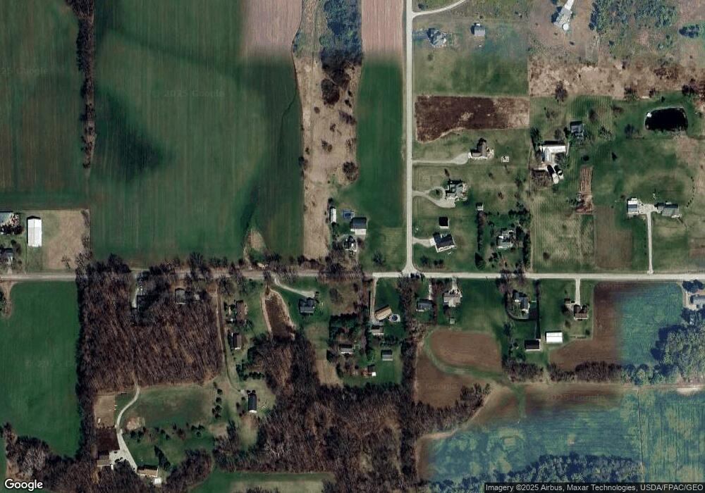
Map
Nearby Homes
- 1991 Townline Hwy
- 5000 Forrister Rd
- 1577 Benner Hwy
- 9497 W Beecher Rd
- 4927 Thompson Heights Dr
- 4817 Thompson Heights Dr
- 4823 Thompson Heights Dr
- 4909 Schmitz Ct
- 4157 Evergreen Rd
- 1312 Fairlane Dr
- Lot A Windcrest Ct
- Lot B Windcrest Ct
- 4790 W Cadmus Rd
- 4274 Evergreen Rd Unit 14
- 4173 Evergreen Rd
- 4278 Evergreen Rd
- 4180 Evergreen Rd
- 2781 Benner Hwy
- 640 Richlyn Dr
- 1325 Country Club Rd
- 6000 Forrister Rd Unit BLK
- 6000 Forrister Rd Unit BLK
- 6000 Forrister Rd Unit BLK
- 6000 Forrister Rd Unit BLK
- 6000 Forrister Rd Unit BLK
- 1924 Townline Hwy
- 1772 Townline Hwy
- 1725 Townline Hwy
- 2031 Townline Hwy
- 7105 Forrister Rd
- 2063 Townline Hwy
- 7211 Forrister Rd
- 1674 Townline Hwy
- 2097 Townline Hwy
- 1565 Townline Hwy
- 1555 Townline Hwy
- 1537 Townline Hwy
- 6902 Forrister Rd
- 6900 Forrister Rd
- 7334 Forrister Rd