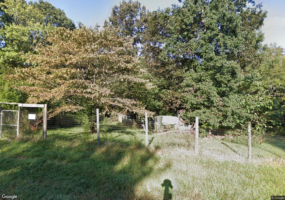
6003 Burnhurst Ln Denver, NC 28037
Estimated Value: $183,000 - $198,000
3
Beds
2
Baths
1,240
Sq Ft
$154/Sq Ft
Est. Value
About This Home
This home is located at 6003 Burnhurst Ln, Denver, NC 28037 and is currently estimated at $191,000, approximately $154 per square foot. 6003 Burnhurst Ln is a home located in Lincoln County with nearby schools including Rock Springs Elementary School, North Lincoln Middle School, and North Lincoln High School.
Ownership History
Date
Name
Owned For
Owner Type
Purchase Details
Closed on
Mar 31, 1999
Bought by
Harris Arthur Thomas and Harris Vickie
Current Estimated Value
Create a Home Valuation Report for This Property
The Home Valuation Report is an in-depth analysis detailing your home's value as well as a comparison with similar homes in the area
Home Values in the Area
Average Home Value in this Area
Purchase History
| Date | Buyer | Sale Price | Title Company |
|---|---|---|---|
| Harris Arthur Thomas | $79,500 | -- |
Source: Public Records
Tax History Compared to Growth
Tax History
| Year | Tax Paid | Tax Assessment Tax Assessment Total Assessment is a certain percentage of the fair market value that is determined by local assessors to be the total taxable value of land and additions on the property. | Land | Improvement |
|---|---|---|---|---|
| 2025 | $1,010 | $143,860 | $30,494 | $113,366 |
| 2024 | $987 | $143,860 | $30,494 | $113,366 |
| 2023 | $982 | $143,860 | $30,494 | $113,366 |
| 2022 | $660 | $73,481 | $24,604 | $48,877 |
| 2021 | $654 | $73,481 | $24,604 | $48,877 |
| 2020 | $613 | $73,481 | $24,604 | $48,877 |
| 2019 | $525 | $73,481 | $24,604 | $48,877 |
| 2018 | $541 | $60,654 | $22,037 | $38,617 |
| 2017 | $440 | $60,654 | $22,037 | $38,617 |
| 2016 | $439 | $60,654 | $22,037 | $38,617 |
| 2015 | $516 | $60,654 | $22,037 | $38,617 |
| 2014 | $577 | $69,789 | $22,037 | $47,752 |
Source: Public Records
Map
Nearby Homes
- 4742 Killian Crossing Dr
- 6544 Helens Way
- 4612 Buoy Ln
- 7133 Gildhall Ct
- 5019 Mundy Ln
- 5916 Burnhurst Ln
- 6490 Alta Ct
- 6264 Burnhurst Ln
- 5875 Tipperary Dr
- 4909 Emma Love Ln
- 5141 Grassy Creek Rd
- 4886 Emma Love Ln
- 4880 Emma Love Ln
- 5135 Pelican Point Dr
- 6601 Love Point Rd
- 0000 Denver Industrial Park Rd
- 5225 Burris Rd
- 5169 Devonshire Rd
- 4714 & 4722 Lazy Ln
- 5351 Pembrey Dr
- 6001 Burnhurst Ln
- 00 Burnhurst Ln
- 6022 Burnhurst Ln
- 5952 Burnhurst Ln
- 6017 Burnhurst Ln
- 6061 Sandal Creek Ct
- 6061 Sandal Creek Ct Unit 59
- 4816 Killian Crossing Dr Unit 39
- 5959 Burnhurst Ln
- 6005 Burnhurst Ln
- 4826 Killian Crossing Dr
- 4806 Killian Crossing Dr Unit 40
- 5940 Burnhurst Ln
- 6042 Burnhurst Ln
- 6042 Burnhurst Ln Unit 66
- 6073 Sandal Creek Ct
- 4529 Turner Brothers Way
- 6060 Sandal Creek Ct
- 4796 Killian Crossing Dr Unit 41
- 4796 Killian Crossing Dr