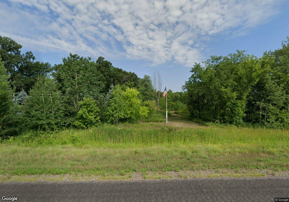
6003 Highway 23 NE Sauk Rapids, MN 56379
Estimated Value: $387,000 - $416,317
4
Beds
2
Baths
1,140
Sq Ft
$350/Sq Ft
Est. Value
About This Home
This home is located at 6003 Highway 23 NE, Sauk Rapids, MN 56379 and is currently estimated at $398,439, approximately $349 per square foot. 6003 Highway 23 NE is a home located in Benton County with nearby schools including Mississippi Heights Elementary School, Sauk Rapids-Rice Middle School, and Sauk Rapids-Rice Senior High School.
Ownership History
Date
Name
Owned For
Owner Type
Purchase Details
Closed on
Aug 24, 2018
Sold by
Landwehr James and Landwehr Sandra Lynn
Bought by
Pallansch Erin Jo and Pallansch Chard R
Current Estimated Value
Home Financials for this Owner
Home Financials are based on the most recent Mortgage that was taken out on this home.
Original Mortgage
$238,777
Outstanding Balance
$207,368
Interest Rate
4.5%
Mortgage Type
New Conventional
Estimated Equity
$191,071
Create a Home Valuation Report for This Property
The Home Valuation Report is an in-depth analysis detailing your home's value as well as a comparison with similar homes in the area
Home Values in the Area
Average Home Value in this Area
Purchase History
| Date | Buyer | Sale Price | Title Company |
|---|---|---|---|
| Pallansch Erin Jo | $244,100 | Steams County Abstract & Tit |
Source: Public Records
Mortgage History
| Date | Status | Borrower | Loan Amount |
|---|---|---|---|
| Open | Pallansch Erin Jo | $238,777 |
Source: Public Records
Tax History Compared to Growth
Tax History
| Year | Tax Paid | Tax Assessment Tax Assessment Total Assessment is a certain percentage of the fair market value that is determined by local assessors to be the total taxable value of land and additions on the property. | Land | Improvement |
|---|---|---|---|---|
| 2025 | $3,000 | $370,900 | $63,800 | $307,100 |
| 2024 | $2,888 | $339,000 | $63,600 | $275,400 |
| 2023 | $2,742 | $330,700 | $63,600 | $267,100 |
| 2022 | $2,748 | $284,700 | $61,100 | $223,600 |
| 2021 | $2,438 | $261,700 | $59,000 | $202,700 |
| 2018 | $2,258 | $175,100 | $52,215 | $122,885 |
| 2017 | $2,258 | $182,700 | $58,000 | $124,700 |
| 2016 | $2,218 | $179,200 | $58,000 | $121,200 |
| 2015 | $2,102 | $154,600 | $49,950 | $104,650 |
| 2014 | -- | $140,700 | $49,029 | $91,671 |
| 2013 | -- | $145,200 | $50,889 | $94,311 |
Source: Public Records
Map
Nearby Homes
- 4860 15th St NE
- 4820 15th St NE
- Lot B 75th Ave NE
- 4195 25th St NE
- 1226 45th Ave NE
- 1108 45th Ave NE
- 1106 45th Ave NE
- 1104 45th Ave NE
- 1102 45th Ave NE
- 971 45th Ave NE
- 4771 8th Street Loop NE
- 4745 8th Street Loop NE
- 4658 9th St NE
- 4631 9th St NE
- 4634 9th St NE
- The Ashton Plan at Waters Edge
- The Mulberry Plan at Waters Edge - Liberty
- The Newport Plan at Waters Edge
- The Cheyenne Plan at Waters Edge
- The Newport Plan at Waters Edge - Liberty
- 6072 Highway 23 NE
- 6117 Highway 23 NE
- 6001 Highway 23 NE
- 6001 Highway 23 NE
- 5914 Highway 23 NE
- 6165 Highway 23 NE
- 6160 Highway 23 NE
- 5978 Highway 23 NE
- 6230 Highway 23 NE
- 6251 Highway 23 NE
- 6251 Highway 23 NE
- 5751 Highway 23 NE
- 2015 65th Ave NE
- 2547 65th Ave NE
- 2276 65th Ave NE
- 2500 65th Ave NE
- 2210 65th Ave NE
- 5674 Highway 23 NE
- 2596 65th Ave NE
- 2711 65th Ave NE
