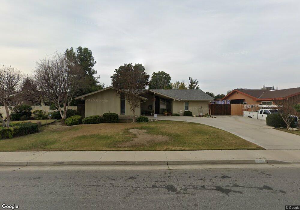
6004 Preston Ct Bakersfield, CA 93309
Quailwood NeighborhoodEstimated Value: $337,000 - $392,000
3
Beds
2
Baths
1,808
Sq Ft
$204/Sq Ft
Est. Value
About This Home
This home is located at 6004 Preston Ct, Bakersfield, CA 93309 and is currently estimated at $369,159, approximately $204 per square foot. 6004 Preston Ct is a home located in Kern County with nearby schools including Wayne Van Horn Elementary School, O.J. Actis Junior High School, and Bakersfield High School.
Ownership History
Date
Name
Owned For
Owner Type
Purchase Details
Closed on
Jun 27, 2001
Sold by
Fletcher Arlin L
Bought by
Rodriguez Eric J
Current Estimated Value
Home Financials for this Owner
Home Financials are based on the most recent Mortgage that was taken out on this home.
Original Mortgage
$118,937
Outstanding Balance
$43,924
Interest Rate
7.21%
Mortgage Type
FHA
Estimated Equity
$325,235
Create a Home Valuation Report for This Property
The Home Valuation Report is an in-depth analysis detailing your home's value as well as a comparison with similar homes in the area
Home Values in the Area
Average Home Value in this Area
Purchase History
| Date | Buyer | Sale Price | Title Company |
|---|---|---|---|
| Rodriguez Eric J | $120,000 | Commonwealth Land Title Co | |
| Fletcher Arlin L | -- | Commonwealth Land Title Co |
Source: Public Records
Mortgage History
| Date | Status | Borrower | Loan Amount |
|---|---|---|---|
| Open | Rodriguez Eric J | $118,937 |
Source: Public Records
Tax History
| Year | Tax Paid | Tax Assessment Tax Assessment Total Assessment is a certain percentage of the fair market value that is determined by local assessors to be the total taxable value of land and additions on the property. | Land | Improvement |
|---|---|---|---|---|
| 2025 | $2,723 | $177,248 | $44,305 | $132,943 |
| 2024 | $2,677 | $173,774 | $43,437 | $130,337 |
| 2023 | $2,677 | $170,368 | $42,586 | $127,782 |
| 2022 | $2,566 | $167,028 | $41,751 | $125,277 |
| 2021 | $2,454 | $163,754 | $40,933 | $122,821 |
| 2020 | $2,405 | $162,076 | $40,514 | $121,562 |
| 2019 | $2,372 | $162,076 | $40,514 | $121,562 |
| 2018 | $2,269 | $155,785 | $38,942 | $116,843 |
| 2017 | $2,235 | $152,731 | $38,179 | $114,552 |
| 2016 | $2,097 | $149,737 | $37,431 | $112,306 |
| 2015 | $2,077 | $147,489 | $36,869 | $110,620 |
| 2014 | $2,024 | $144,601 | $36,147 | $108,454 |
Source: Public Records
Map
Nearby Homes
- 6017 Poso Ct
- 713 Elsey St
- 6405 Hesketh Dr
- 6500 Saddleback Dr
- 205 Haggin St
- 5801 Kleinpell Ave
- 5804 Carissa Ave
- 112 Angell St
- 200 Carr St
- 205 Carr St
- 5500 Lennox Ave Unit 36
- 6201 Hartman Ave
- 100 Stockdale Cir
- 6405 Desert Hills Ave
- 7000 Setter Ct
- 109 Bermuda St
- 6216 Bel Aire Way
- 6108 Bel Aire Way
- 320 Hume Ln
- 144 Glen Oaks Dr
- 6000 Preston Ct
- 6008 Preston Ct
- 6005 Cochran Dr
- 6009 Cochran Dr
- 6001 Cochran Dr
- 6012 Preston Ct
- 6005 Preston Ct
- 6101 Cochran Dr
- 6001 Preston Ct
- 5916 Preston Ct
- 6013 Preston Ct
- 6100 Preston Ct
- 6105 Cochran Dr
- 5913 Cochran Dr
- 5913 Preston Ct
- 6004 Poso Ct
- 6000 Poso Ct
- 6008 Poso Ct
- 6008 Cochran Dr
- 6004 Cochran Dr
Your Personal Tour Guide
Ask me questions while you tour the home.