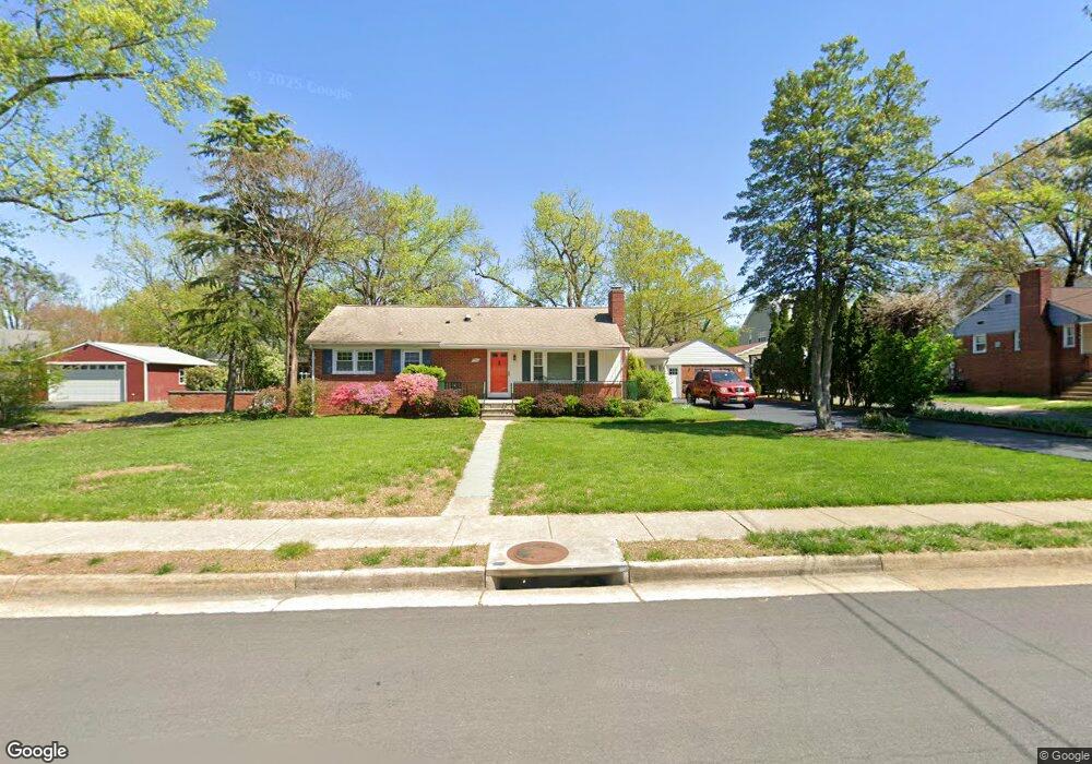
6005 Brookland Rd Alexandria, VA 22310
Rose Hill NeighborhoodEstimated Value: $674,000 - $740,000
3
Beds
2
Baths
1,759
Sq Ft
$402/Sq Ft
Est. Value
About This Home
This home is located at 6005 Brookland Rd, Alexandria, VA 22310 and is currently estimated at $706,805, approximately $401 per square foot. 6005 Brookland Rd is a home located in Fairfax County with nearby schools including Bush Hill Elementary School, Twain Middle School, and Edison High School.
Ownership History
Date
Name
Owned For
Owner Type
Purchase Details
Closed on
Jul 25, 2014
Sold by
Wightman Galen E
Bought by
Wightman Cynthia A
Current Estimated Value
Purchase Details
Closed on
Jul 24, 1997
Sold by
Chapman John E and Chapman Sally G
Bought by
Wightman Galen E and Wightman Cynthia A
Home Financials for this Owner
Home Financials are based on the most recent Mortgage that was taken out on this home.
Original Mortgage
$169,750
Interest Rate
7.7%
Mortgage Type
New Conventional
Create a Home Valuation Report for This Property
The Home Valuation Report is an in-depth analysis detailing your home's value as well as a comparison with similar homes in the area
Home Values in the Area
Average Home Value in this Area
Purchase History
| Date | Buyer | Sale Price | Title Company |
|---|---|---|---|
| Wightman Cynthia A | -- | -- | |
| Wightman Galen E | $175,000 | -- |
Source: Public Records
Mortgage History
| Date | Status | Borrower | Loan Amount |
|---|---|---|---|
| Previous Owner | Wightman Galen E | $169,750 |
Source: Public Records
Tax History Compared to Growth
Tax History
| Year | Tax Paid | Tax Assessment Tax Assessment Total Assessment is a certain percentage of the fair market value that is determined by local assessors to be the total taxable value of land and additions on the property. | Land | Improvement |
|---|---|---|---|---|
| 2025 | $7,408 | $618,050 | $283,000 | $335,050 |
| 2024 | $7,408 | $591,510 | $268,000 | $323,510 |
| 2023 | $7,035 | $579,930 | $263,000 | $316,930 |
| 2022 | $6,299 | $509,270 | $223,000 | $286,270 |
| 2021 | $6,059 | $482,210 | $214,000 | $268,210 |
| 2020 | $6,087 | $483,030 | $214,000 | $269,030 |
| 2019 | $5,649 | $444,820 | $198,000 | $246,820 |
| 2018 | $5,064 | $440,380 | $196,000 | $244,380 |
| 2017 | $5,218 | $419,740 | $187,000 | $232,740 |
| 2016 | $5,071 | $407,960 | $182,000 | $225,960 |
| 2015 | $4,546 | $376,410 | $173,000 | $203,410 |
| 2014 | -- | $354,900 | $163,000 | $191,900 |
Source: Public Records
Map
Nearby Homes
- 6010 Brookland Rd
- 5910 Woodfield Estates Dr
- 5405 Brookland Rd
- 6045 Crown Royal Cir
- 6028 Crown Royal Cir
- 5206 Ninian Ave
- 5812 Piedmont Dr
- 5963 Founders Hill Dr Unit 101
- 5413 Waycross Dr
- 5510 Jowett Ct
- 5930 Langton Dr
- 6339 Dunman Way
- 5916 Founders Hill Dr Unit 304
- 5924 Jane Way
- 6485 Waterfield Rd
- 6029 Heatherwood Dr
- 6498 Waterfield Rd
- 6547 Grange Ln Unit 104
- 6019 Marilyn Dr
- 6020 Craft Rd
- 6003 Brookland Rd
- 6007 Brookland Rd
- 6004 Brookview Dr
- 6006 Brookview Dr
- 6002 Brookview Dr
- 6004 Brookland Rd
- 6006 Brookland Rd
- 6001 Brookland Rd
- 6009 Brookland Rd
- 6002 Brookland Rd
- 6008 Brookland Rd
- 5601 Foldi St
- 6010 Brookview Dr
- 6012 Brookview Dr
- 6000 Brookland Rd
- 6008 Brookview Dr
- 6011 Brookland Rd
- 6005 Brookview Dr
- 6005 Pratt St
- 6007 Brookview Dr