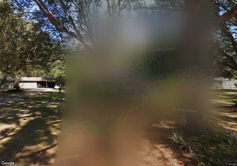
6005 Mccormack Rd Moss Point, MS 39562
Estimated Value: $224,361 - $316,000
Studio
2
Baths
1,902
Sq Ft
$146/Sq Ft
Est. Value
About This Home
This home is located at 6005 Mccormack Rd, Moss Point, MS 39562 and is currently estimated at $277,090, approximately $145 per square foot. 6005 Mccormack Rd is a home located in Jackson County with nearby schools including East Central Lower Elementary School, East Central Upper Elementary School, and East Central Middle School.
Ownership History
Date
Name
Owned For
Owner Type
Purchase Details
Closed on
Apr 14, 2014
Sold by
Bobby A Bobby A and Howell Susanne B
Bought by
Howell Houston T and Howell Jessica E
Current Estimated Value
Home Financials for this Owner
Home Financials are based on the most recent Mortgage that was taken out on this home.
Original Mortgage
$10,720
Interest Rate
4.43%
Mortgage Type
Land Contract Argmt. Of Sale
Create a Home Valuation Report for This Property
The Home Valuation Report is an in-depth analysis detailing your home's value as well as a comparison with similar homes in the area
Purchase History
| Date | Buyer | Sale Price | Title Company |
|---|---|---|---|
| Howell Houston T | -- | -- |
Source: Public Records
Mortgage History
| Date | Status | Borrower | Loan Amount |
|---|---|---|---|
| Closed | Howell Houston T | $10,720 | |
| Closed | Howell Houston T | $150,635 |
Source: Public Records
Tax History
| Year | Tax Paid | Tax Assessment Tax Assessment Total Assessment is a certain percentage of the fair market value that is determined by local assessors to be the total taxable value of land and additions on the property. | Land | Improvement |
|---|---|---|---|---|
| 2025 | $1,370 | $14,059 | $1,141 | $12,918 |
| 2024 | $1,370 | $11,526 | $1,110 | $10,416 |
| 2023 | $1,083 | $11,526 | $1,110 | $10,416 |
| 2022 | $1,044 | $11,526 | $1,110 | $10,416 |
| 2021 | $1,051 | $11,590 | $1,110 | $10,480 |
| 2020 | $964 | $10,460 | $1,028 | $9,432 |
| 2019 | $950 | $10,460 | $1,028 | $9,432 |
| 2018 | $974 | $10,460 | $1,028 | $9,432 |
| 2017 | $996 | $10,460 | $1,028 | $9,432 |
| 2016 | $944 | $10,460 | $1,028 | $9,432 |
| 2015 | $1,150 | $96,150 | $10,280 | $85,870 |
| 2014 | $867 | $9,936 | $1,028 | $8,908 |
| 2013 | $828 | $9,936 | $1,028 | $8,908 |
Source: Public Records
Map
Nearby Homes
- 6685 Caraway Rd
- 0 00 Gavin Hamilton Rd
- 5455 Gavin Hamilton Rd
- Tbd Hurley Wade Rd
- 0000 Mississippi 614
- 23117 Hinton Rd
- 8012 Coleman Homestead Rd
- 5901 Lum Reeves Rd
- 20700 Cameron Ln
- 24040 Robert e Lee Rd
- 125 Mulberry Dr
- 0 Ramie Farm Rd
- 24023 Robert e Lee Rd
- 7015 Whites Farm Rd
- 6201 Wesley Powell Rd
- 0 Hwy 613 Unit 4108899
- 7808 Songbird Ln
- 19500 Angel Ln
- 0 Tanner Williams Unit 4124647
- 25160 Yellow Bluff Rd
- 6100 Mccormack Rd
- 6101 Mccormack Rd
- 6004 Tolar Rd
- 5900 Mccormack Rd
- 6100 Tolar Rd
- 6100 Tolar Rd
- 5924 Mccormack Rd
- 6000 Tolar Rd
- 6104 Tolar Rd
- 6105 Mccormack Rd
- 6005 Tolar Rd
- 6009 Tolar Rd
- 6001 Tolar Rd
- 6108 Tolar Rd
- 5912 Tolar Rd
- 6105 Tolar Rd
- 6104 Mccormack Rd
- None Northview Dr
- 5909 Pinecrest Dr
- 0 Northview
Your Personal Tour Guide
Ask me questions while you tour the home.