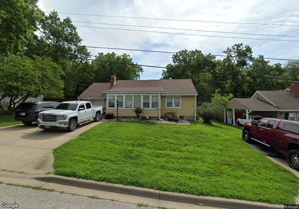
6005 Stearns St Shawnee, KS 66203
Estimated Value: $274,000 - $313,000
3
Beds
2
Baths
1,224
Sq Ft
$241/Sq Ft
Est. Value
About This Home
This home is located at 6005 Stearns St, Shawnee, KS 66203 and is currently estimated at $294,498, approximately $240 per square foot. 6005 Stearns St is a home located in Johnson County with nearby schools including Merriam Park Elementary School, Hocker Grove Middle School, and Shawnee Mission North High School.
Ownership History
Date
Name
Owned For
Owner Type
Purchase Details
Closed on
Apr 26, 2023
Sold by
Stechmann Michael Lee
Bought by
Hunter Josie Marie
Current Estimated Value
Purchase Details
Closed on
Apr 4, 2023
Sold by
Stechmann Mark Allen
Bought by
Stechmann Mark Allen and Stechmann Michael L
Purchase Details
Closed on
Apr 22, 2022
Sold by
Stechmann Mark Allen
Bought by
Stechmann Mark Allen and Patterson Amanda Leann
Create a Home Valuation Report for This Property
The Home Valuation Report is an in-depth analysis detailing your home's value as well as a comparison with similar homes in the area
Home Values in the Area
Average Home Value in this Area
Purchase History
| Date | Buyer | Sale Price | Title Company |
|---|---|---|---|
| Hunter Josie Marie | -- | None Listed On Document | |
| Stechmann Mark Allen | -- | None Listed On Document | |
| Stechmann Mark Allen | -- | None Listed On Document | |
| Stechmann Mark Allen | -- | None Listed On Document | |
| Stechmann Mark Allen | -- | None Listed On Document |
Source: Public Records
Tax History Compared to Growth
Tax History
| Year | Tax Paid | Tax Assessment Tax Assessment Total Assessment is a certain percentage of the fair market value that is determined by local assessors to be the total taxable value of land and additions on the property. | Land | Improvement |
|---|---|---|---|---|
| 2024 | $3,054 | $29,118 | $5,821 | $23,297 |
| 2023 | $2,987 | $27,922 | $5,821 | $22,101 |
| 2022 | $2,654 | $24,725 | $5,290 | $19,435 |
| 2021 | $2,466 | $21,436 | $4,597 | $16,839 |
| 2020 | $2,257 | $19,343 | $4,181 | $15,162 |
| 2019 | $2,214 | $18,964 | $3,488 | $15,476 |
| 2018 | $2,035 | $17,342 | $3,165 | $14,177 |
| 2017 | $2,042 | $17,135 | $3,165 | $13,970 |
| 2016 | $1,870 | $15,479 | $3,165 | $12,314 |
| 2015 | $1,771 | $15,330 | $3,165 | $12,165 |
| 2013 | -- | $14,387 | $3,165 | $11,222 |
Source: Public Records
Map
Nearby Homes
- 6420 Ballentine St
- 10120 W 65th St
- Ashwood Plan at
- The Fleetwood Plan at Bristol Highlands - The Villas
- Cypress II Plan at
- The Fleetwood Plan at Bristol Highlands - The Manors
- Yorkshire V Plan at
- The Kirkwood Plan at Bristol Highlands - The Villas
- 8013 Payne St
- The Rockwood Plan at Bristol Highlands - The Villas
- Magnolia Plan at
- 11002 W 55th Terrace
- 10924 W 67th St
- 5517 Hayes St
- 9719 W 53rd St
- 10116 W 52nd Terrace
- 5308 Mcanany Dr
- 9929 W 52nd St
- 5220 Hayes St
- 8510 W 61st St
- 6007 Stearns St
- 6003 Stearns St
- 6009 Stearns St
- 6001 Stearns St
- 6010 Stearns St
- 10302 W 60th Terrace
- 6011 Stearns St
- 6000 Stearns St
- 6020 Stearns St
- 6030 Stearns St
- 5941 Stearns St
- 6013 Stearns St
- 6034 Stearns St
- 10225 W 60th Terrace
- 10415 W 60th St
- 5939 Stearns St
- 10224 W 60th Terrace
- 6038 Stearns St
- 5948 Stearns St
- 6044 Stearns St